New Dublin & Wicklow Maps
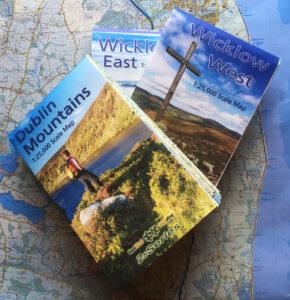
Three New 1:25,000 scale detailed maps are now available for the Dublin Mountains, Wicklow West and Wicklow East. It may have taken five years with lots of hiccups and hard…

Cartography & Publishing
Three New 1:25,000 scale detailed maps are now available for the Dublin Mountains, Wicklow West and Wicklow East. It may have taken five years with lots of hiccups and hard…
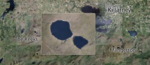
Cleared the decks temporarily and making a start on plotting draft detail for parts of Kerry. In this case, two maps of The Reeks and Mangerton, overlapping around the Gap…
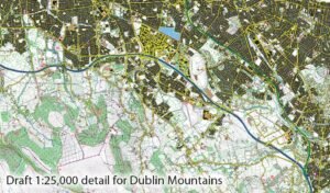
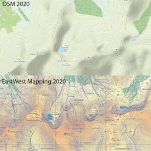
Our three new 1:25000 scale maps for the northern Dublin & Wicklow mountains have gone to proofing stage with the printer. These are prepared to our 25Series standard with 5…
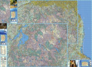
This is to advise that steady progress is being made on three new map sheets covering the North Wicklow region. These are being prepared to our 25Series standard with a…

The Galtee Mountains have plainly been a busy place this past year, notwithstanding travel restrictions and lockdowns. This is evident from the Ireland Walking Awards run by Kieron Gribbon in…
Anyone around in the late 1970s will recall the hit song ‘Video Killed the Radio Star’ by the Buggles. Video hasn’t quite killed radio yet, but I’ve no doubt that…
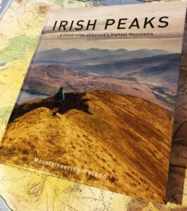
Irish Peaks A new book ‘Irish Peaks’ has recently been published by Mountaineering Ireland and will be of interest to readers here who like to climb hills. This is a…
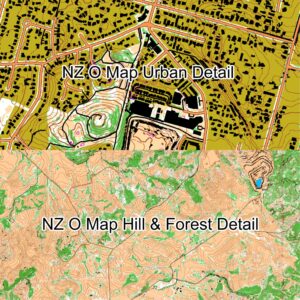
Auto Mapping New Zealand There have been some interesting developments in medium scale ‘computer generated mapping’ in Finland and New Zealand in the last year or so. These have been…
Costa del Dublin I’m currently working my way through South County Dublin, recompiling our mapping to our 25Series standard. Started in the west over near Rathcoole and now approaching Dun…
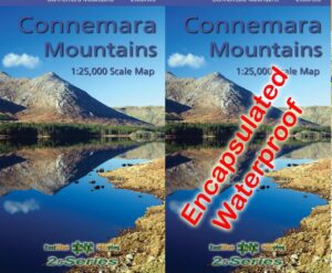
Connemara Mountains Map I’m happy to advise that our new Connemara Mountains 1:25,000 is now available. Covid19 has delayed publication by over two months but better late than never! Definitive…