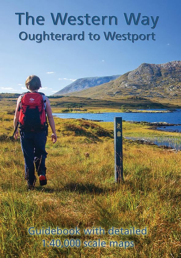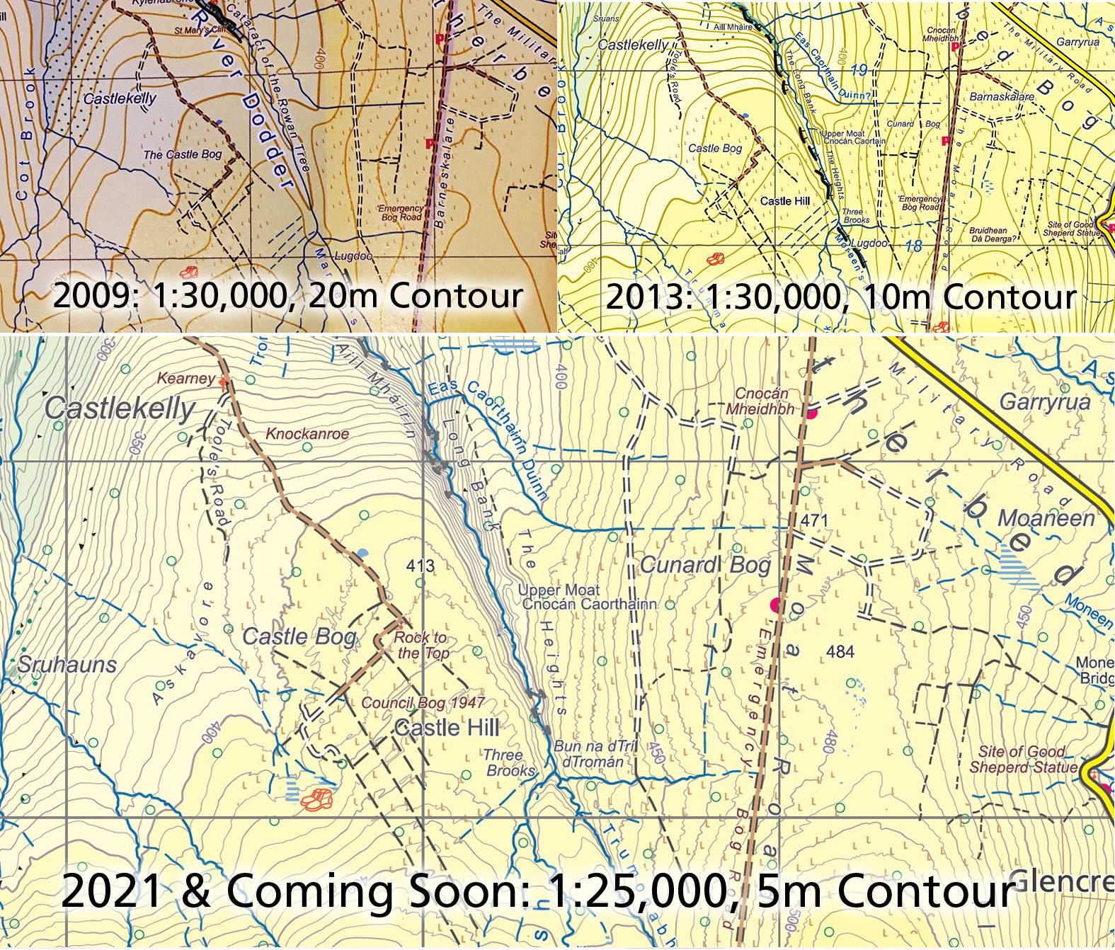
This is to advise that steady progress is being made on three new map sheets covering the North Wicklow region. These are being prepared to our 25Series standard with a 5 metre contour interval and all rural housing depicted etc. The first three sheets covering South Wicklow (below Wicklow Gap) were published three years ago.
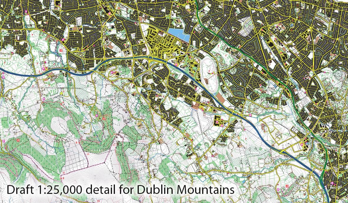
A map goes through various stages of which plotting the base detail plot is significant. I started into this area March 2020 during the first ‘lockdown’. And been at it more or less since, bar a few jobs for clients. So working from west to east, was pleased to see the last of the Irish Sea coast recently. Here’s a screen shot of part of the area, a complex interweave of hill, forest and suburban detail.
I’ll be sorting out some fieldwork during February, though of necessity that will be limited by Covid restrictions. In particular, there are a few areas of placenames that should be gone over again, however in person meetings are not possible. I will also be grateful to a few people that have offered to check some map detail queries locally within their 5km.
Further information to follow as to publication date and I hope to offer a pre order option for those looking for flat unfolded copies.