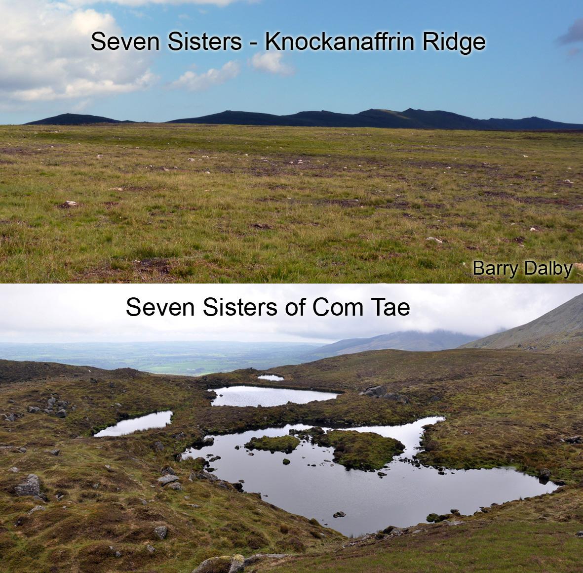
Future of Irish Mapping ~ Google & OpenStreetMap
Part of a series on Irish Mapping: past, present & future.
In our last post, I looked at the state mapping agency Tailte Éireann and concluded that they have little reason to further develop Irish small & medium scale mapping. Not least due to the collapse of public demand for their popular road map publications as a result of Satnav & Google Maps etc
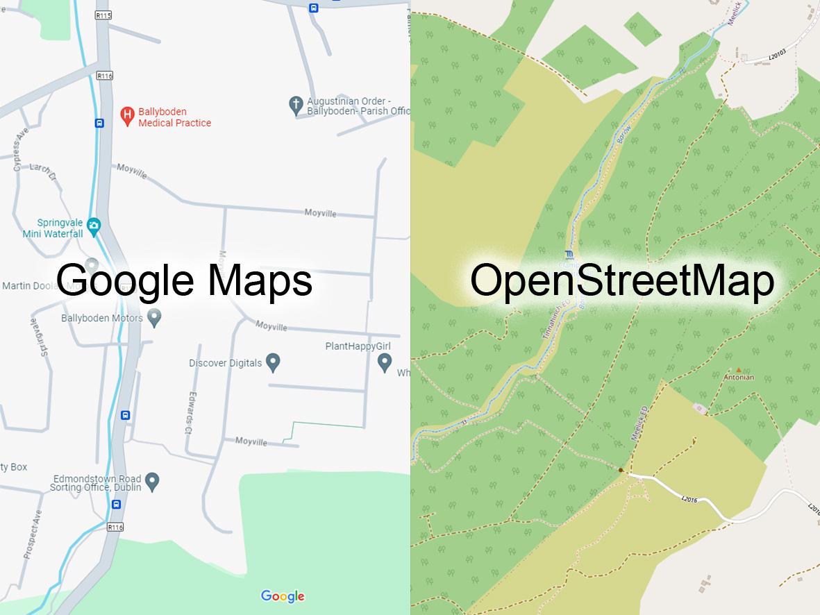
So what of Google & OpenStreetMap (OSM) Apple Maps, how will they possibly develop? These two giants of global mapping are commonly found as free mapping on apps and web services. The road map services are pretty well developed. Google certainly has the financial & technical power to develop more detailed maps but do they have any financial motive? Google Maps is described as the glue for many Google projects but these mostly revolve around consumers and where they live and their current mapping solutions address this. So it’s hard to see a market for more detailed Google mapping?
OpenStreetMap has broader objectives and with access to expensive LiDAR data and AI software, it could radically upgrade map detail. OSM has big commercial backers and related income but then it’s mission statement is open source free data to the public. States could step in with funding and data to assist OSM, recognising public value but it’s equally likely that OSM detail will develop only as far as the ordinary punter requires.
What is key above is the nature of free data to the public and it’s effects. On the one hand it’s costly to make and supply free data, so limiting development. On the other, free data undermines all other map publishers. So we could end up with a level of mediocrity that suits most.
#eastwestmapping #irishmaps #mountainviews #mountaineeringireland