Mountain Training 2023
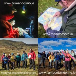
If you’re starting out or would like to brush up on your hill navigation skills, get advice on equipment and generally learn to manage your hillwalks as safely as possible,…

Cartography & Publishing
If you’re starting out or would like to brush up on your hill navigation skills, get advice on equipment and generally learn to manage your hillwalks as safely as possible,…
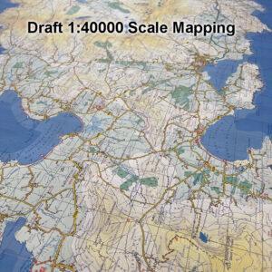
This is some draft detail from 1:40000 scale mapping of the Dingle peninsula. Where 1 kilometre on the ground = 2.5 centimetres on the map, with a good 10 metre…
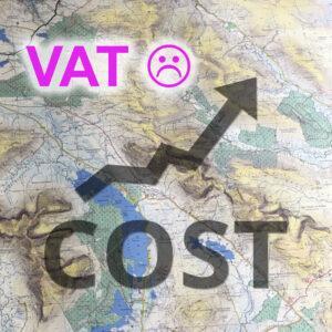
Customers of our print maps will appreciate that the retail prices of our standard paper folded and laminated folded have remained fairly steady over the last 5 years. I’ve always…
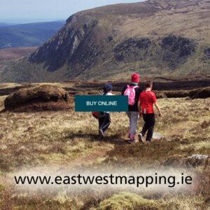
A quick and reliable way to get your maps is through our website at www.eastwestmapping.ie We’ve needed to add an extra security step recently due to a spambot attack that…
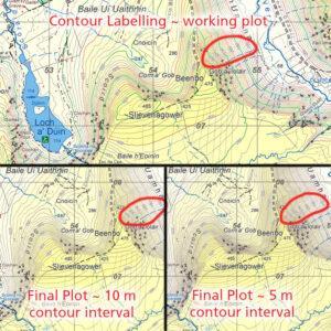
All text on a topographic map potentially obscures useful detail underneath, whilst adding usefulness. Placename text is positioned first, then Grid Labels, followed by Spot Heights and finally Contour Labels…
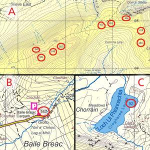
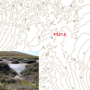
Inserting spot heights is a stage in map production, these are measured from a digital surface model with an accuracy of +/- 0.5 metre on open terrain. Spot heights are…
The one kilometre square grid used on EastWest Mapping maps is based on Irish Grid, one of our two national grid projections. This came to be used on Irish maps…
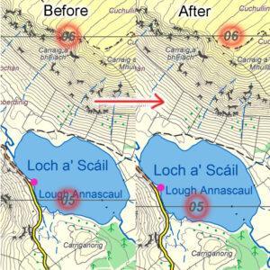
Contouring on recent EastWest Mapping maps is typically at a 5 metre interval and derived from digital terrain models supplied by Bluesky Ireland. You can think of these models like…
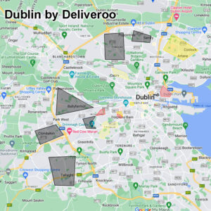
I came across this interesting & practical use of internet mapping there recently. It’s an unofficial kind of mapping layer passed around among Deliveroo riders in Dublin. So they have…
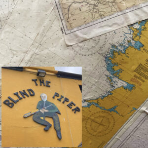
If you’re ever down in Caherdaniel in the Kingdom of Kerry and have a thirst on you, you’ll do worse than to drop into the Blind Piper for a pint…