Hiiker Waypoints
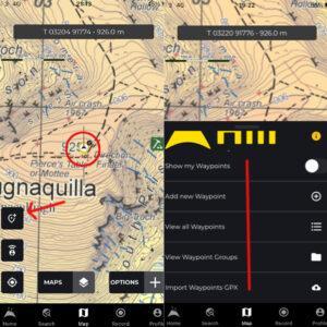
Hiiker WaypointsDetailed maps from EastWest Mapping and other map publishers can be found on the Hiiker phone app for Apple and Android devices. You need a Pro+ subscription and it…

Cartography & Publishing
Hiiker WaypointsDetailed maps from EastWest Mapping and other map publishers can be found on the Hiiker phone app for Apple and Android devices. You need a Pro+ subscription and it…
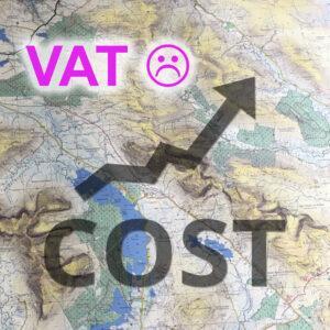
VAT Again!The VAT tax issue is the bane of Irish print map publishing, it’s bizarre that print maps are classified along with the ‘Hospitality Sector’. The VAT for this sector…
5 Metre ContoursWe use a 5 metre contour interval on our 1:25,000 scale maps in order to show the shape of the land in a more detailed way. On the…
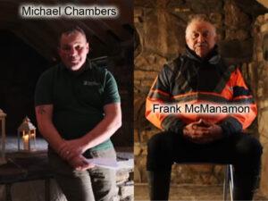
Local SourcesWhen it comes to collecting placenames, the best kind of local sources are those interested in the project and who are both knowledgeable and well known in the community.…
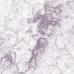
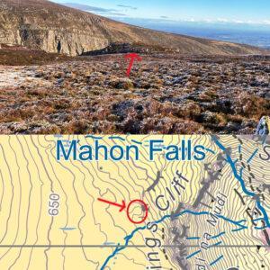
Contour Plot Here’s a contour plot of a new piece of work that I’ve started on. If you know your Irish hills, it shouldn’t take too long to figure that…
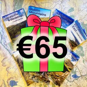
Gift Vouchers I think it’s always nice to get a useful practical present that will last many years, like a map! But if you don’t know what maps someone already…
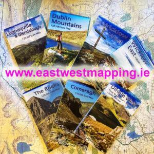
Maps Galore!If you’re looking for a good quality gift at a reasonable cost that will give many years of use, look no further than our selection of detailed maps at…
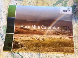
Pure Project The Pure Project based in Wicklow and South Dublin is a great initiative. On the go now for 15+ years, their core objective is simple – to encourage…

Well the budget came & went last week. The astute of you may have noticed that from 1st Jan, VAT on ebooks and audio books will be 0%. Which is…
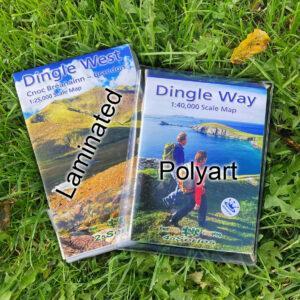
Laminated v Polyart Maps Maps to be used in outdoor environments ideally need to be flexible, tough and waterproof. They are used on both fair days and in foul weather.…