Future of Irish Mapping ~ Tailte Éireann
Part of a series on Irish Mapping: past, present & future.
Tailte Éireann is a new state body formed from a merger of the property registration, land valuation and mapping agencies. The state mapping agency has existed since 1825 as the Ordnance Survey of Ireland, Ordnance Survey & Ordnance Survey Ireland (OSi). In terms of small & medium scale mapping this agency produced the One Inch Series in the 19thC and the Discovery 1:50K Series in the 20thC. What will it do for the 21st century?
I’m aware of reports that various user interest groups have approached OSi in recent years to seek improvements in the 1:50K series and better quality 1:25K mapping. And that they have brought examples of maps from EastWest Mapping to show something of what might be desirable.
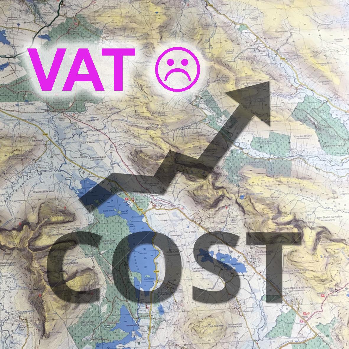
The state has the financial wherewithal to produce better mapping at these scales but will it take any notice of these requests? I don’t have any special insight but I can see that the following factors apply 1) there is no particular demand from other state agencies for this work 2) the culture of this body has refocused on the 19thC work – that of valuation, planning etc 3) a small but notable section of OSi was called ‘Tourism & Leisure’ and this section was responsible for the road maps and leisure maps. But the market for these print maps has largely collapsed in terms of road maps and much diminished for leisure maps, so why make more? 4) as a fully publicly funded body, there is an argument that all products of the body should be freely available to the public. So there will be no income stream to justify new work in this area 5) Google and OSM are filling the gaps and meeting a public demand with their map products.
It’s entirely possible that some government of the future will decide that the state should produce better quality and free medium scale mapping, but I wouldn’t advise holding your breath.
#eastwestmapping #irishmaps #mountainviews #mountaineeringireland