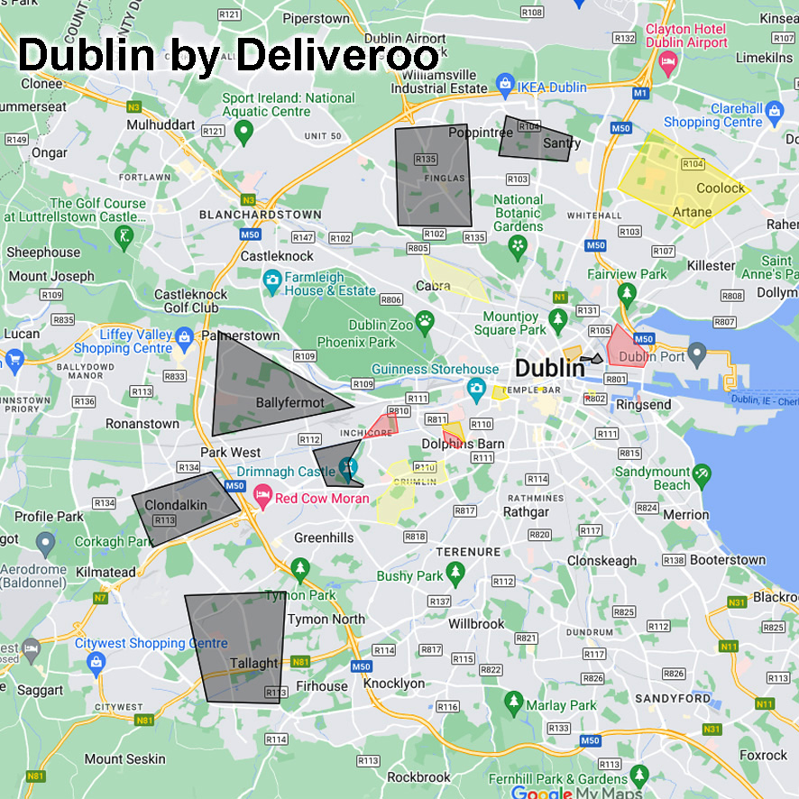
I came across this interesting & practical use of internet mapping there recently. It’s an unofficial kind of mapping layer passed around among Deliveroo riders in Dublin.
So they have colour coded / graded various parts of the city in yellow, black or red shadings. Clicking on these gives a guide to degree of hassle the rider may expect, ranging from abusive comments to dangerous street gangs.
Apologies of course to the many peaceful citizens living in theses area but I guess from the riders practical perspective, forewarned is forearmed etc.
#eastwestmapping


