Irish Peaks
Irish Peaks
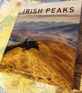
Irish Peaks A new book ‘Irish Peaks’ has recently been published by Mountaineering Ireland and will be of interest to readers here who like to climb hills. This is a…

Irish Peaks A new book ‘Irish Peaks’ has recently been published by Mountaineering Ireland and will be of interest to readers here who like to climb hills. This is a…
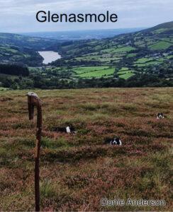
Glenasmole To conclude this mini series on the lovely valley of Glenasmole, let us consider the name and it’s possible meaning. There are two lines of thought: the first is…
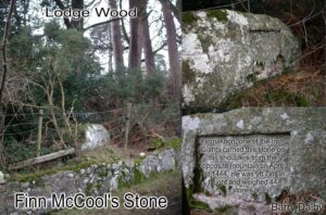
Finn McCool’s Stone The Castlekelly bog road starts at the back of Glenasmole valley and a short way in on the left is a large granite rock called Finn McCool’s…
The New Mearing I’m sure a good few readers here have approached Kippure Mountain in the Dublin Hills by means of the long straight Moat Bog Road from the Featherbeds.…
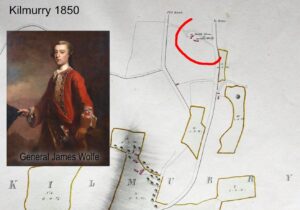
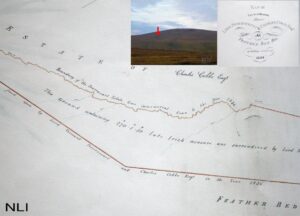
General Wolfe – a mystery? Whilst looking through a series of Powerscourt Estate maps of 1850, I noticed a little historical note on the map of Kilmurry townland near Kilmacanogue…
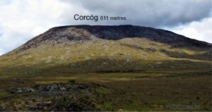
Corcóg is a Hewitt The world of hill lists is mighty confusing with various differing lists in both imperial and metric measurements arranged by height. Munros are well enough known…
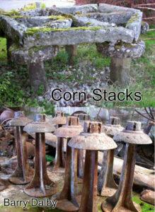
Corn Stacks If you’re in the habit of poking around old farm ruins, you may come across what look like stone mushrooms, comprising of a pillar and flat round top.…
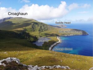
Achill Notes We enjoyed a few pleasant days last week on Achill: sea swimming, hill climbing and coastal exploring. Thanks to Aoife & Paul McNamara for their hospitality. Happy also…
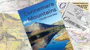
Placenames on the Connemara Mountains Map I’ve taken a different approach to the placename content of our new Connemara Mountains map. For other maps we’ve published I’ve devoted a fair…
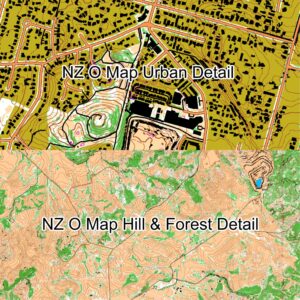
Auto Mapping New Zealand There have been some interesting developments in medium scale ‘computer generated mapping’ in Finland and New Zealand in the last year or so. These have been…