
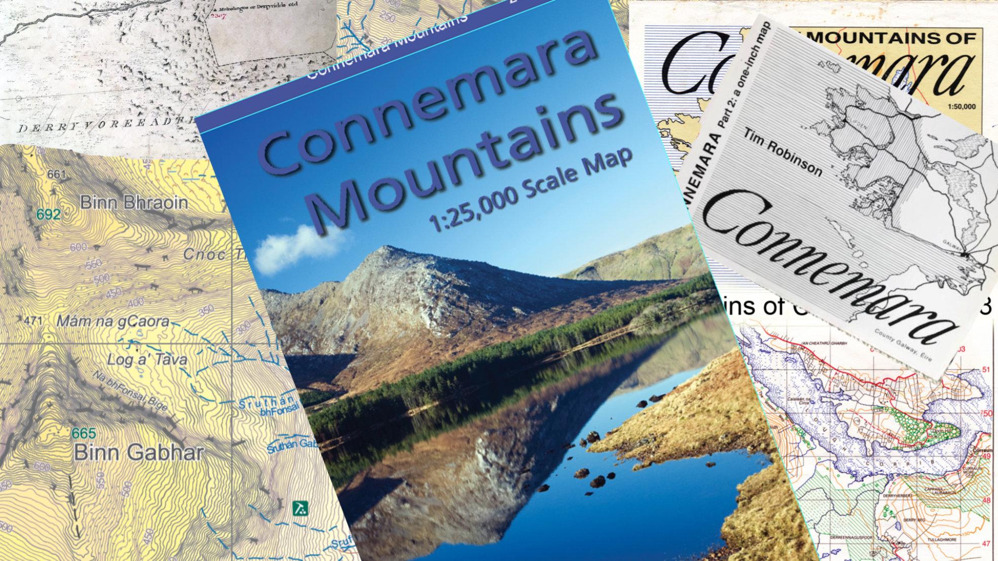
Placenames on the Connemara Mountains Map
I’ve taken a different approach to the placename content of our new Connemara Mountains map. For other maps we’ve published I’ve devoted a fair amount of time to local people – hill farmers, fishermen and so on. Talking to them and checking for local placenames and sites of interest etc.
In this instance I was aware of the various works of the late Tim Robinson – the 1:50,000 and 1 inch scale maps, gazetteer, writings and records in NUIG. Tim conducted these enquiries over a twenty year plus period from the 1980s and naturally, many of these informants would have passed on since.
So these were a starting point and provide the basis for much of the placename content. For Gaeltacht areas, the townland names are listed as Gaeilge firstly and then in anglicised form. For other parts, the anglicised townland name appears first and the Irish form underneath where there seems reasonable certainty of it’s meaning. For other placenames, I’ve used a mixture of Irish and anglicised forms.
It was however apparent that 1) Tim had a few doubts as regards some names, further information coming to light etc. and 2) I don’t think he paid as much attention to the hills as to the coastal areas. Partly perhaps because they held less historical interest for him but also I think that the Six Inch maps on which he based his own mapping are virtually blank in the uplands. So he had little means to identify or record placenames in these areas. I did seek to clarify several queries with Tim during research but I think his failing health precluded any replies.
A trawl of the Schools Collection records also turned up a number of local placenames in the area. The balance of the names on this map largely come from the survey records of the Six Inch survey of the 1830s. The draft maps and station records contain quite a number of names for smaller features such as lower hill tops and streams etc., particularly in the likes of Gleninagh and Gleann Chóchan.
By the time the above was completed, Covid19 was hovering and it was inadvisable at that stage to visit often more elderly local people to help clarify queries, fill in gaps. Therefore I would view the placename record of this map as a work in progress and if corrections and additions come in from local people who are ‘seed & breed’ of the area, I’ll happily take them on board.

The original field maps made by the Ordnance surveyors, the fair copies, and the composite maps made from these all survived with an enormous amount of local detail that was never published all survivef in the ordnance survey office in the Phoenix Park. This material and the engraved copper plates on which the first maps were etched for printing all durvived and were to be transferred to the National Archives about 20 years ago – though I am not certain of the date. That is probably done by now.
The place-name books collections of the Ordinance survey, the work of Eugene O Curry and John O Donovan should be consulted. There are a limited number of typed copies which you will find in the older university libraries and in the National Library and almost certainly in the National Archives too.
An often overlooked source is the 3 volume “the Irish parliamentary gazateer” prepared as information for Irish Members of Parliament and for grand juries and local government officials in 1846. It is full of useful information and deals with every townland, village, town, city and parish in the country. It is far more detailed than Lewis’ Topographical Dictionary which is also worth consulting.
In the early days of cycling detailed cycling atlases and maps were prepared for cyclists and they contained a lot of place name details.
The land commission held on to estate documents and estate maps at the time of land purchase and land transfer in the last qusrter of 19th century and 30th century. This is another dource of mapd and place named.
The maps of the Bog Commissioners of the late 18th and early 19th century are another rich source of maps and place names. The bog commissioners were responsible for draining bogs and building new roads through them – often called “new lines”.
If you wish to go back to 17th century there is Willism Petty’s “Down Survey” which has been reprinted. And many more…
The country was conquered in 16th century and colonised thereafter sometimes in large official plantations which required surveys and maps. This us one of the most surveyed and mapped countries in Europe.
Thanks Fidelma for your comprehensive comment. Yes I’d be familiar with a number of those old sources, though you could be forever chasing your tail with research like this. Nothing beats getting it locally as still understood where possible. The OS records are indeed now in the National Archives – must take up a large space I reckon! The Land Commission records may well be a very useful record of local placenames but as far as I know, there is yet no public access bar direct queries from relatives etc