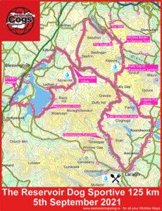
Fundraiser Events
In recent years Ireland has experienced a steady increase in the number of people seeking out the benefits of outdoor exercise. Good for both mind and body. Associated with this…

In recent years Ireland has experienced a steady increase in the number of people seeking out the benefits of outdoor exercise. Good for both mind and body. Associated with this…
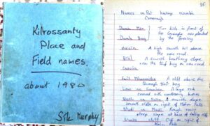
Users of EastWest Mapping maps often ask where we find the local placenames shown on same. The answer is never straightforward as there can be multiple sources with different versions…
I’m making progress preparing draft map detail for a new Reeks map. Having laboured for several weeks earlier in the year on the housing, shopping and industrial estates of South…
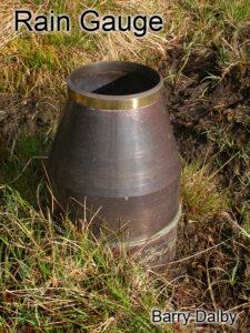
You may come across all sorts of odd things if you wander off the beaten track in the hills. This is a brass rain gauge, twin walled like a flask…
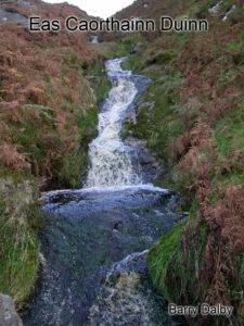
This I’m fairly certain is Eas Caorthainn Duinn – the waterfall of the rowan. Rowan also known as Mountain Ash or Quicken trees survive well enough in upland areas and…
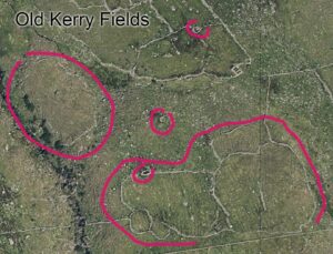
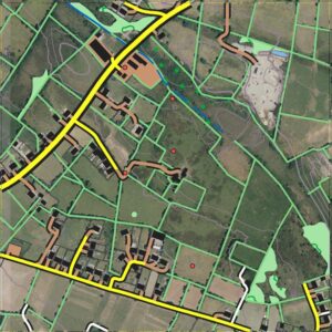
One of the quiet pleasures in compiling map detail is the observing of different layers of time and history laid on top of each other. It can be relatively modern…
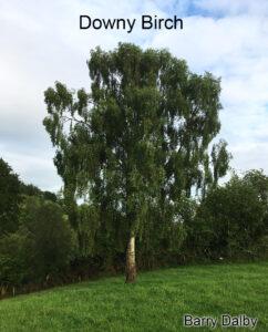
You’ll often come across birch trees growing on the edge of bogs in upland areas. They are a colonising tree, one of the early trees to get established on cleared…
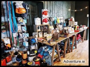
If you’re visiting Glendalough this summer and looking to pick up one of our detailed maps for your outing, then you might like to check out the new Adventure.ie store…
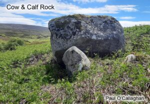
Thanks to map user Paul O’Callaghan for sending on this photo of the Cow & Calf Rock located in Upper Glenasmole in the Dublin Mountains. This large granite boulder is…
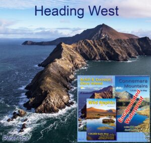
If you’re planning on setting foot on the shores of Connemara or Achill this summer, this set of three detailed maps will be the perfect guide. The Connemara Mountains are…