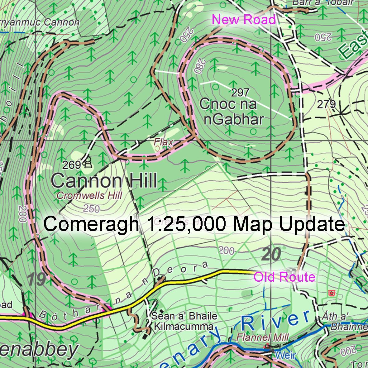
One of the quiet pleasures in compiling map detail is the observing of different layers of time and history laid on top of each other. It can be relatively modern as in seeing the apportioning and development of a family farm – original farmhouse in decay, replacement farmhouse in use and with attached modern bungalows for sons and daughters etc. It can also be older as in field patterns, these tend to be preserved to a greater extent in upland and marginal areas where the land quality does not now justify their clearance.
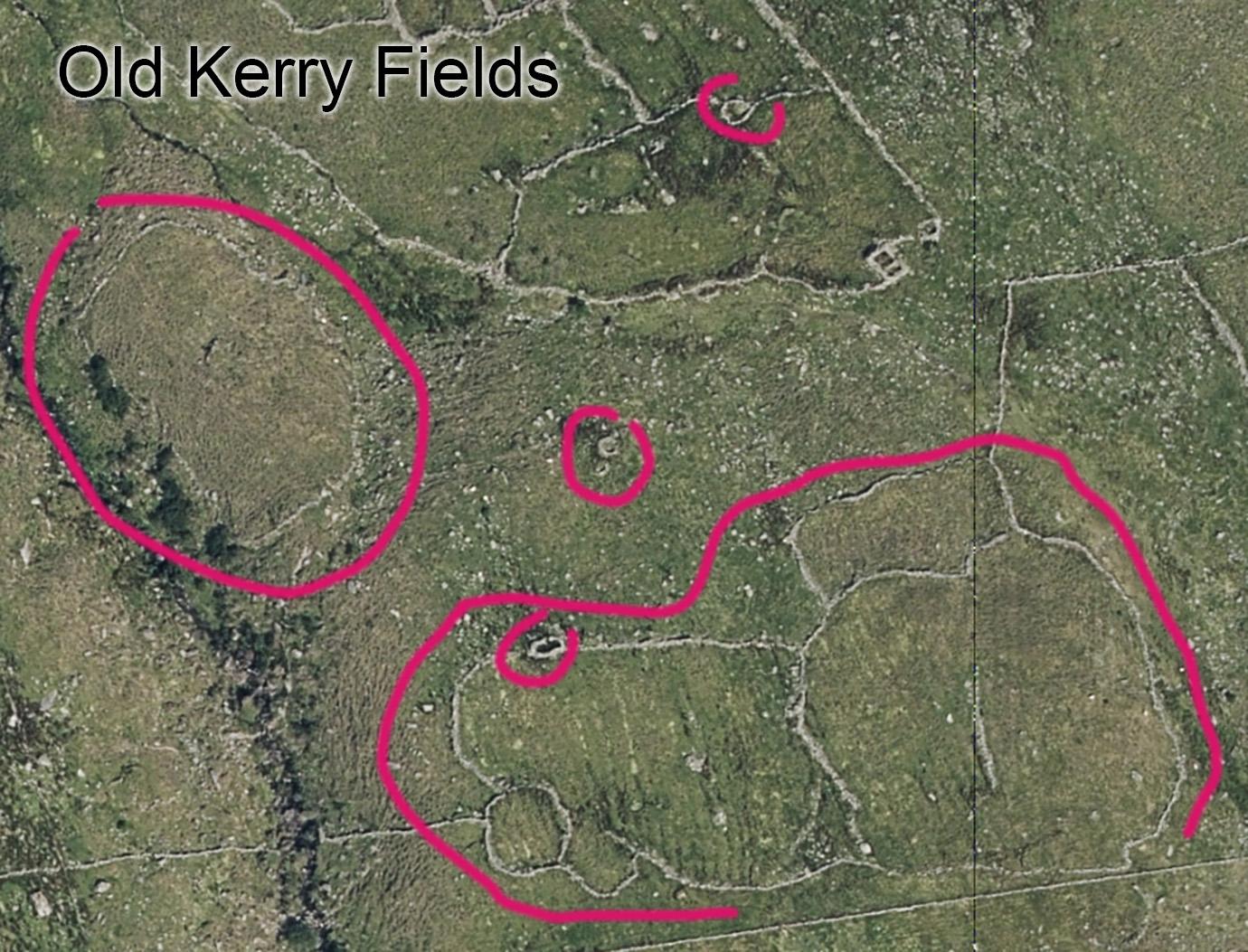
There’s a particular field pattern noticeable in the Bridia and Black Valley area south of the Reeks. It seems in the past that the practice was to locate small areas of upland grazing or possibilities for growing oats or spuds and to enclose these with roughly circular walls. They are very numerous in this area and can be seen in various states of decline as the bog and vegetation takes back over in places. I’m sure these features must have a local name and if anyone can shed light on this, I’d be interested. Though will find out in due course when I get to stage of compiling placenames. They could go by ‘Garraí’ or ‘Tamhnach’ or some other local term. Associated with these are many small enclosures, sheep pens and/or clocháns – little stone huts.
I’ve circled a few of these on the attached image – if I was to hazard a guess as to age, I’d think 18th century. The long straight wall at the base of the image is more recent, maybe late 19th century/ early 20th. At some stage the older fields were absorbed into larger holdings and the new wall built to separate this from the higher mountain grazing. Nobody builds stone walls for these purposes now and so of course here & there will be new post & wire fences that are of recent decades.