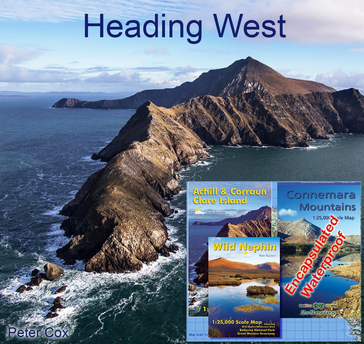
If you’re planning on setting foot on the shores of Connemara or Achill this summer, this set of three detailed maps will be the perfect guide. The Connemara Mountains are steep and intricate and this waterproof map shows ever crease of the this fabulous landscape. If on the other hand, your headed for the beaches of Achill – no better guide to what’s to be seen and enjoyed on our Achill Island map. When you tire of the sea, head inland to the mighty bogs & hills of Ballycroy National Park shown on our Wild Nephin map. Finally to seal the deal, take the ferry from Roonagh to Clare Island for a mighty day exploring the cliffs of the Big Hill.
All above accurately portrayed on this set of three maps which will serve your wanderings this summer and also for many a year to come.
#eastwestmapping #twelvebens #maumturks #wildatlanticway #VisitMayo #connemaranationalpark #VisitMayo #killaryfjord #visitgalway #amazingachill