AI & Mapping
AI & MappingPart nine of a series on Irish Mapping: past, present & future.Back in 2020, I wrote a blog piece on ‘auto mapping’ in New Zealand. Similar projects progressed…

AI & MappingPart nine of a series on Irish Mapping: past, present & future.Back in 2020, I wrote a blog piece on ‘auto mapping’ in New Zealand. Similar projects progressed…
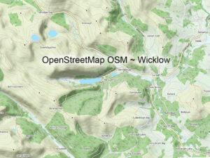
Other Map Publishers: OpenStreetMapPart eight of a series on Irish Mapping: past, present & future.OpenStreetMap or OSM is a mystery to me. Founded by Steve Coast in the UK in…
Marian Year CrossesFor the day that’s in it, it’s worth noting that this is the 70th anniversary of the 1954 Marian Year celebrations in Ireland. Pope Pius had designated this…
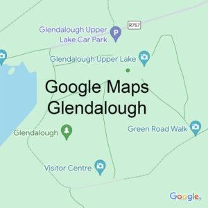
Other Map Publishers: GooglePart seven of a series on Irish Mapping: past, present & future.To date this series has covered maps of Ireland produced by both the state and smaller…
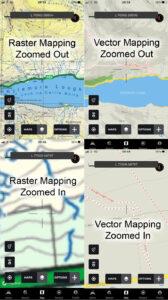
Map File FormatsThere are two principle types of file format associated with publishing maps: vector and raster or bitmap. Think of the various map apps on your phone. Examples of…
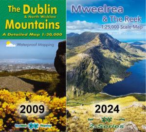
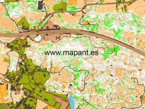
Other Map Publishers: EastWest MappingPart six of a short series on Irish Mapping: past, present & future.EastWest Mapping was formed in 1992 and for many years produced orienteering and tourism…
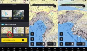
Hiiker App UpdateMaps from EastWest Mapping are found on the Irish developed Hiiker phone app. You need a PRO+ subscription which also gives access to full OSi mapping and many…
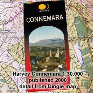
Other Map Publishers: HarveyPart five of a short series on Irish Mapping: past, present & future.As far as small & medium scale mapping in Ireland goes, two map publishers have…
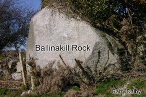
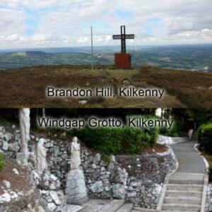
Ballinakill RockWhilst compiling new detail for a complete overhaul of our Blackstairs & Mount Leinster map, I came across the site again of the Ballinakill Rock. This is a large…
Ordnance Survey This CenturyPart four of a short series on Irish Mapping: past, present & future.The Ordnance Survey in Ireland was set up on the foot of the Spring Rice…