Other Map Publishers: EastWest Mapping
Part six of a short series on Irish Mapping: past, present & future.
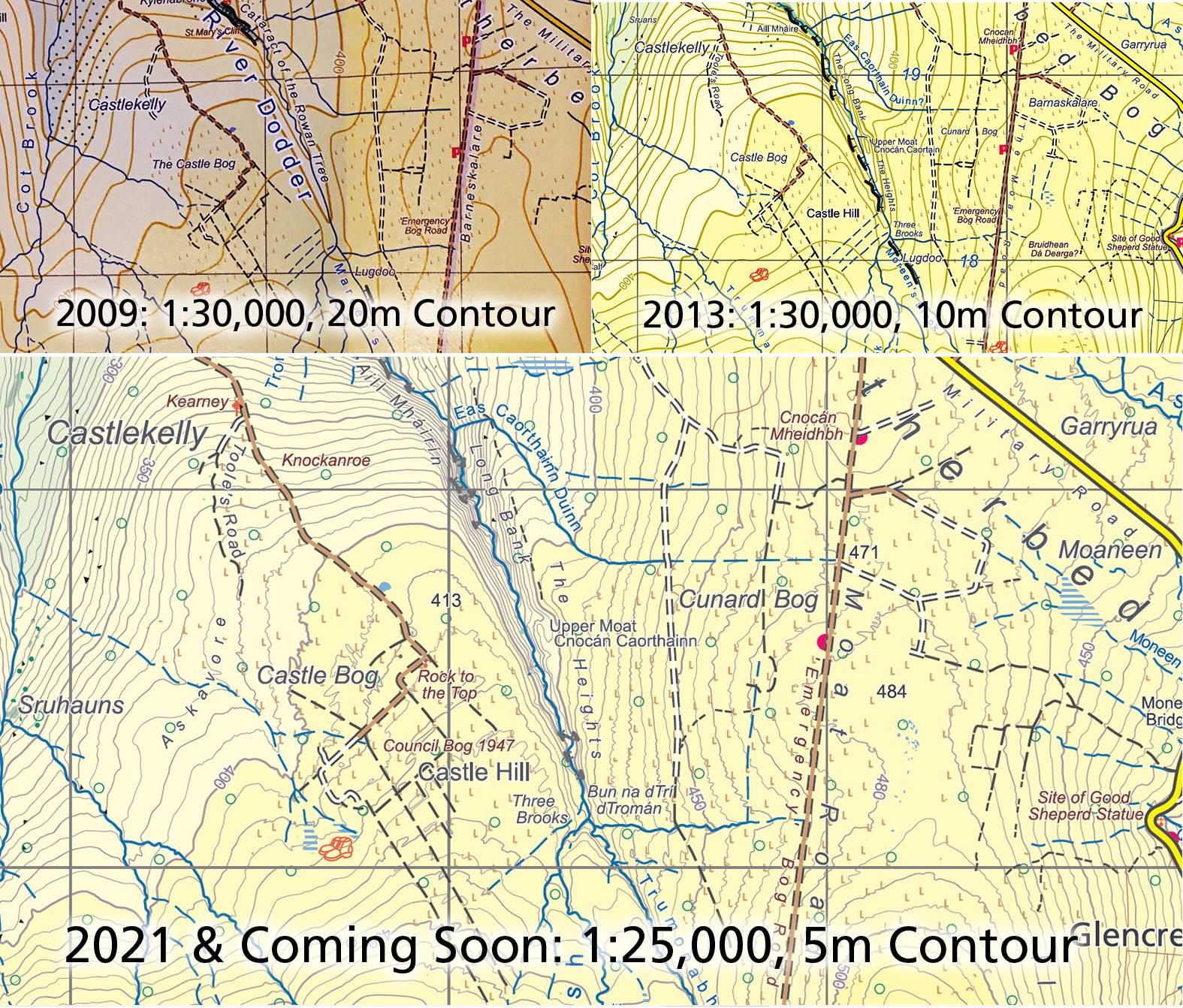
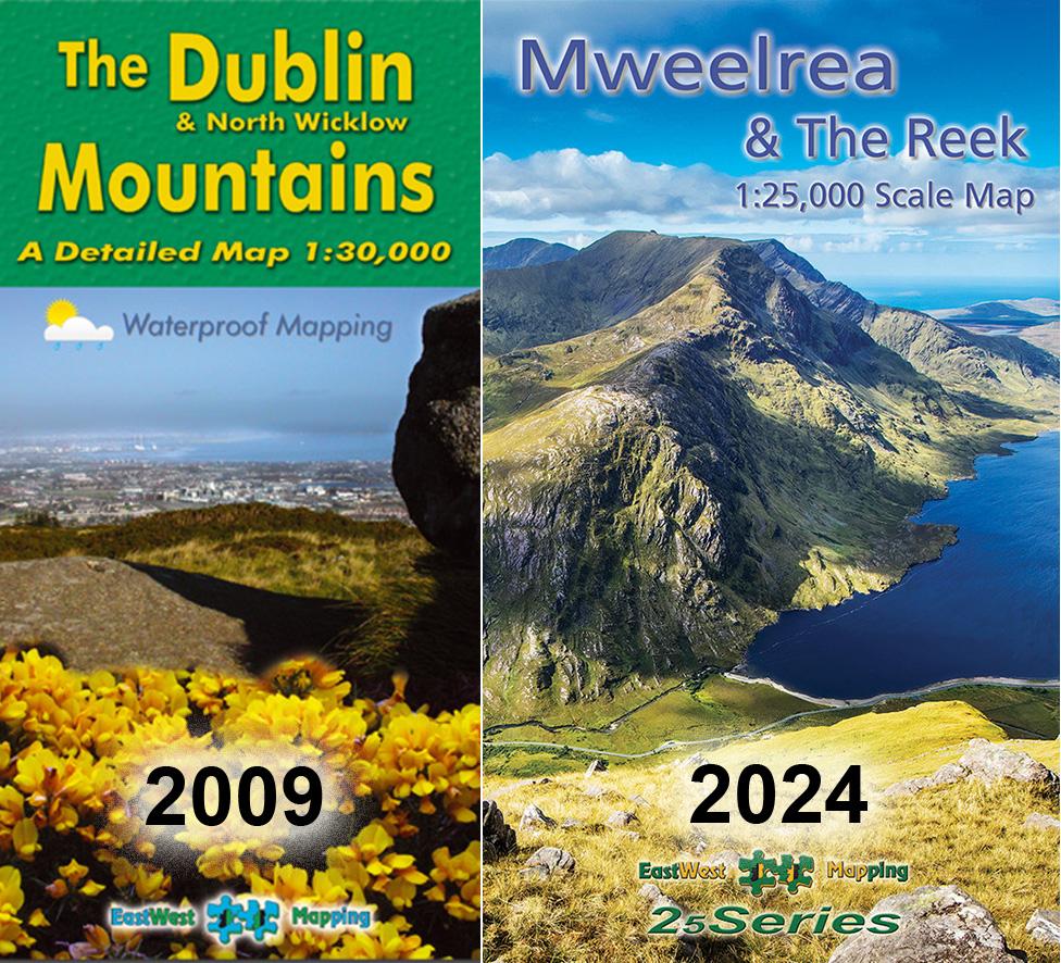
EastWest Mapping was formed in 1992 and for many years produced orienteering and tourism maps. With advances in software, hardware & data availability combined with fieldwork, our first topographic map Dublin & North Wicklow Mountains 1:30000 was published in 2009.
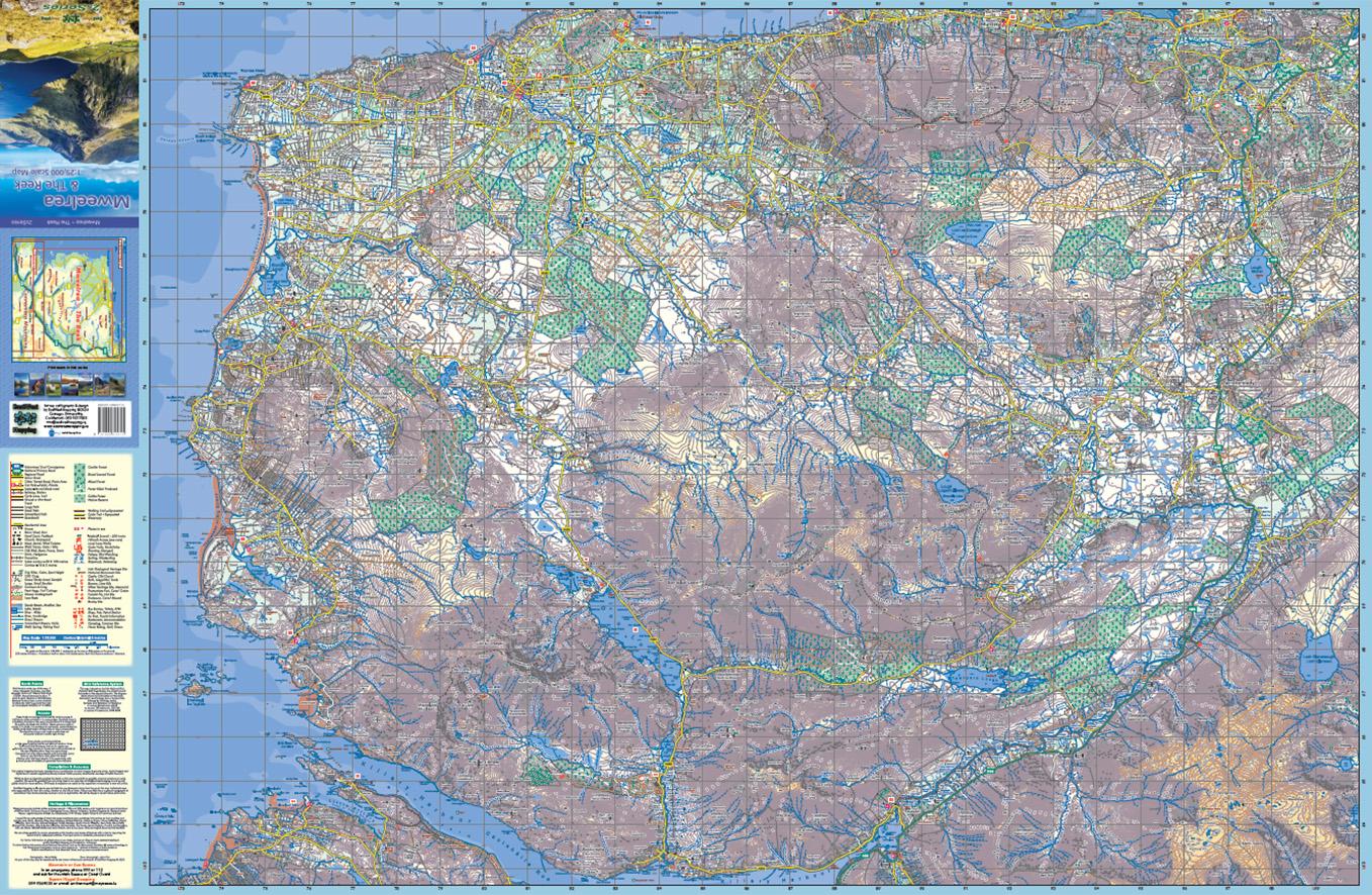
As of 2024, we now have 20 such sheets mostly at 1:25000 scale covering some 10,000+ sq kms. That’s c15% of the Republic, not bad for largely one person with occasional help from others with fieldwork. We have good coverage in Wicklow, the South East, parts of Kerry, Connemara and Mayo. Whilst our coverage is incomplete, it still represents a significant contribution to medium scales mapping in the state.
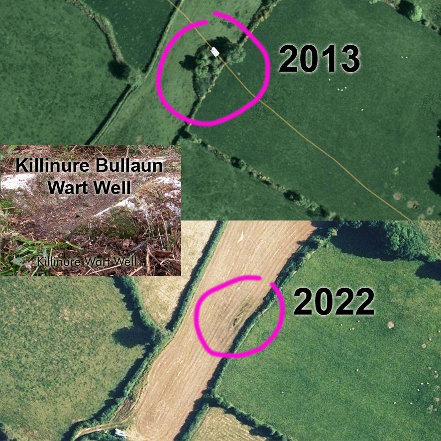
Apart from portraying the landscape well with a detailed 1:25K specification, our work is also a valuable cultural record of placenames, each map containing hundreds of names never previously published on a map and often collected from local people. What really should have been the work of the state but totally neglected for most of the century since independence.
Thanks to all customers and map users who have purchased our maps and supported the project. Pictured here is our first map Dublin & North Wicklow Mountains, 2009 and our most recent Mweelrea & The Reek, 2024.
#eastwestmapping #cartography #irishmaps #mountainviews #mountaineeringireland