Other Map Publishers: Harvey
Part five of a short series on Irish Mapping: past, present & future.
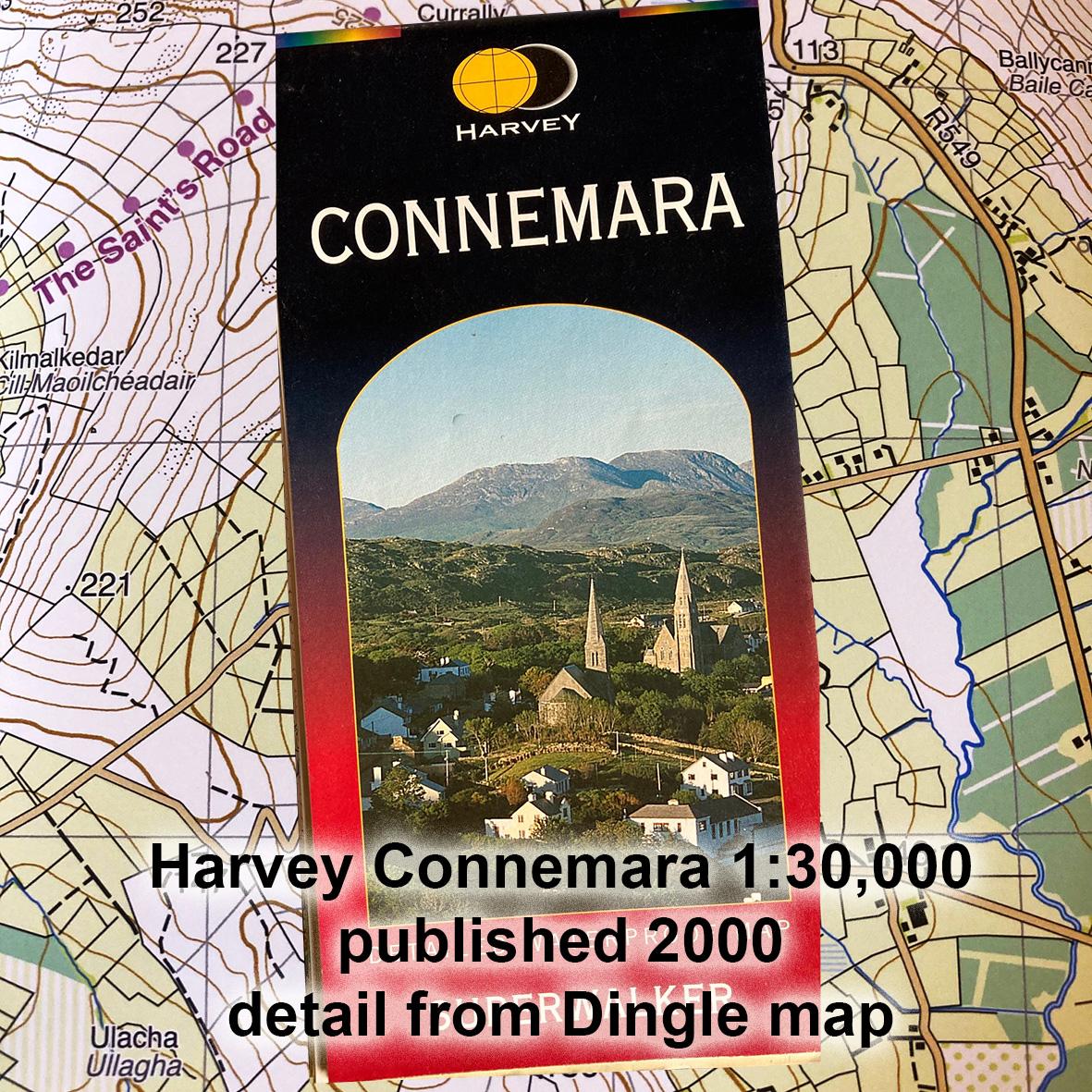
As far as small & medium scale mapping in Ireland goes, two map publishers have made significant contributions in recent years. Harvey is a Scottish company founded in 1977 with it’s roots in surveying maps for orienteering and adventure racing. This is still evident in the style that Harvey uses for symbols & colouring on their more general maps. Publishing mostly in Britain, their first Irish map was Connemara 1:30000 in 2000. This was followed by similar maps for Wicklow, Reeks and the Mournes. A pause of many years seemed to indicate a loss of interest in the Irish market but this was revived in 2023 with a map of the Dingle peninsula.
Harvey maps are original works compiled from aerial photography combined with some fieldwork. Contours are generally shown with a 15 metre interval, better than the 30m interval on the half inch maps but with less detail than the 10m interval of OSi Discovery maps. Interpretation of cliffs and rocky ground is far better than OSi mapping. Harvey maps are not particularly known for attention to local placenames, understandably as such work requires more extensive enquiries & research in the locale.
Finally as far as I know, Harvey maps are true commercial publications, produced without public funding.
#eastwestmapping #cartography #irishmaps #mountainviews #mountaineeringireland