Mountain Training 2023
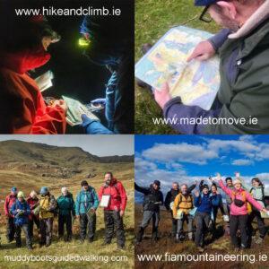
If you’re starting out or would like to brush up on your hill navigation skills, get advice on equipment and generally learn to manage your hillwalks as safely as possible,…

EastWest Mapping Blog
If you’re starting out or would like to brush up on your hill navigation skills, get advice on equipment and generally learn to manage your hillwalks as safely as possible,…
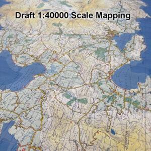
This is some draft detail from 1:40000 scale mapping of the Dingle peninsula. Where 1 kilometre on the ground = 2.5 centimetres on the map, with a good 10 metre…
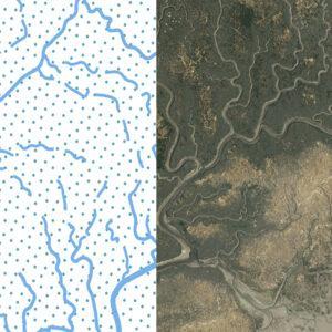
We encounter various & diverse types of landscape when compiling maps: upland mountains, upland farms, forests, intensive agriculture, urban areas, industrial zones, coastal cliffs and islands. In each case the…
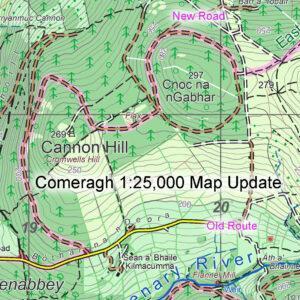
Please note this correction to the route of the East Munster Way walking route at Cannon Hill near Clonmel. You’ll find the detail on our Comeragh 1:25,000 scale map. If…
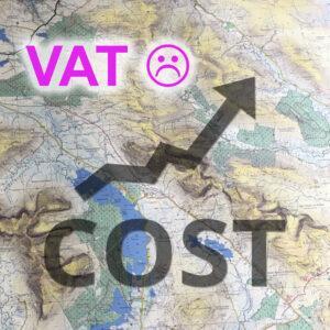
Customers of our print maps will appreciate that the retail prices of our standard paper folded and laminated folded have remained fairly steady over the last 5 years. I’ve always…
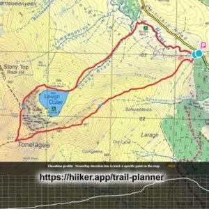
Digital versions of our maps are now found on the Hiiker app for Android & Apple devices. This is a subscription service and includes all maps from EastWest Mapping as…
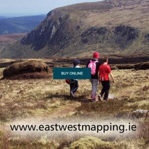
A quick and reliable way to get your maps is through our website at www.eastwestmapping.ie We’ve needed to add an extra security step recently due to a spambot attack that…
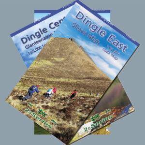
Our three new 1:25,000 scale maps for the Dingle peninsula are finally at proofing stage with the printers and will be available in 2023. A good years work and I…
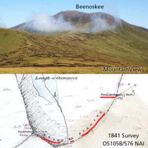
Beenoskee is the highest hill in the central section of the Dingle peninsula and overlooks the Magharees. The name is generally understood now in Irish to be Binn os Gaoith,…
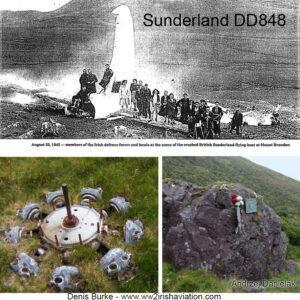
There are four known air crashes on Brandon Mountain in Kerry that date to World War 2. The best known of these are the engine remains of a Luftwaffe Condor…