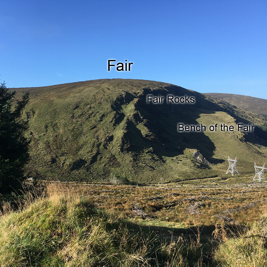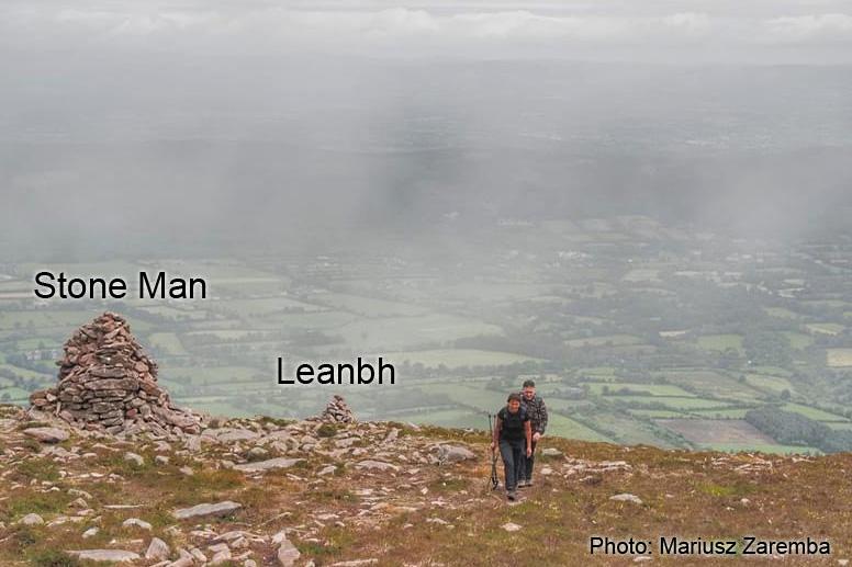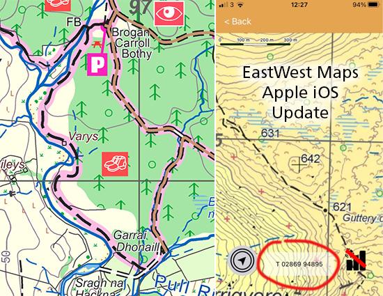
We encounter various & diverse types of landscape when compiling maps: upland mountains, upland farms, forests, intensive agriculture, urban areas, industrial zones, coastal cliffs and islands. In each case the cartographer seeks to represent the area using a selection of appropriate symbols and choosing what detail to portray.
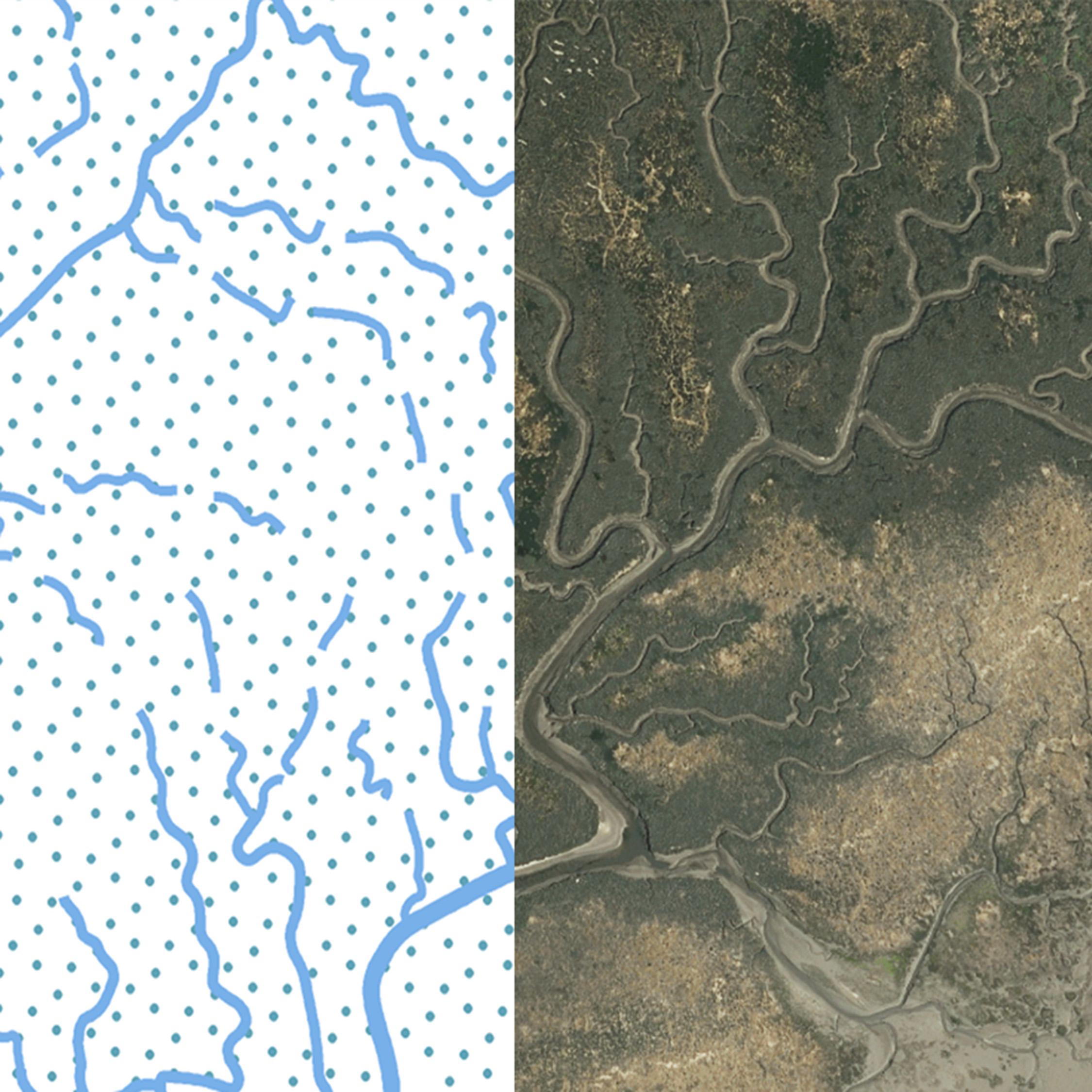
A more unusual landscape that has cropped up in recent work is that of the river estuary and the drainage pattern of many channels that dissect the sands & mud flats. Not a place that you’d want to go wandering about due to the inherent dangers of soft areas and tide etc. But the patterns of the channels are complex and fascinating, like a bunch of nerves radiating or a bunch of roots. This example here is of part of Dundalk Bay but Tralee Bay with it’s nature reserve is of a similar nature.
#eastwestmapping #irishcoast #cooley