Connemara Mountains Map Update
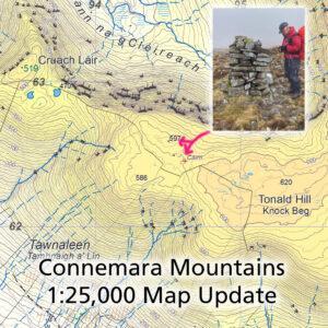
Connemara Mountains Map Update Thanks to Patsy Cahalan and Proinsias de Paor for supplying details of two notable cairns that lie between Cruach Láir and Tonald Hill on our Connemara…

Connemara Mountains Map Update Thanks to Patsy Cahalan and Proinsias de Paor for supplying details of two notable cairns that lie between Cruach Láir and Tonald Hill on our Connemara…
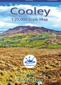
New Cooley Map We have a new publication just hot off the press! This is a detailed map of the Cooley peninsula in Co.Louth including Slieve Foye and Ravensdale etc.…
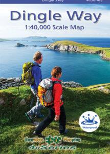
New Dingle Way Map We published three new maps at 1:25,000 scale for the Dingle peninsula earlier this year and thanks to all who have purchased these and supported the…
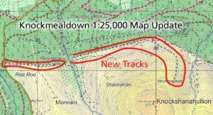
Knockshanahullion Map Update Thanks to Maureen O’Brien for spotting and plotting details of some prominent new tracks that have been excavated on the northern slopes of Knockshanahullion in the Knockmealdown…
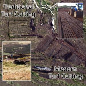
Turf Cutting Old & New Getting to that time of year when traditionally turf will be cut as the bogs dry out a bit in early summer. The sods are…
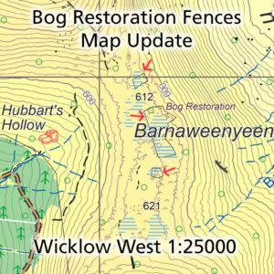
Bog Restoration Map Update Thanks to Hugh McLindon of NPWS for sending on details of three fenced off areas on the ridge from Mullaghcleevaun to Tonelagee in Co.Wicklow. Many hillwalkers…
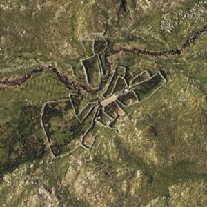
Sheep Pen Complex Spotted what looks like an extraordinary complex of sheep pens when plotting detail. Notice how the entrances to the paddocks seem to radiate from a central area.…
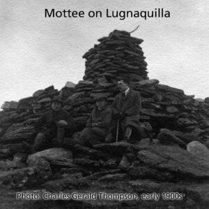
Pointy Manmade Things There are several & various terms used for pointy things in the Irish upland landscape. These are usually man made objects that stick out on the skyline.…
Hiiker Promotion All current digital maps from EastWest Mapping are available solely on the Irish app called Hiiker – available for Android and Apple devices. There is an annual or…
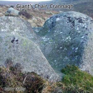
Giant’s Chair The Blackstairs Challenge Walk is coming up in a few weeks time on the 20th May. It is 30+ kilometres in length and traverses the full range on…