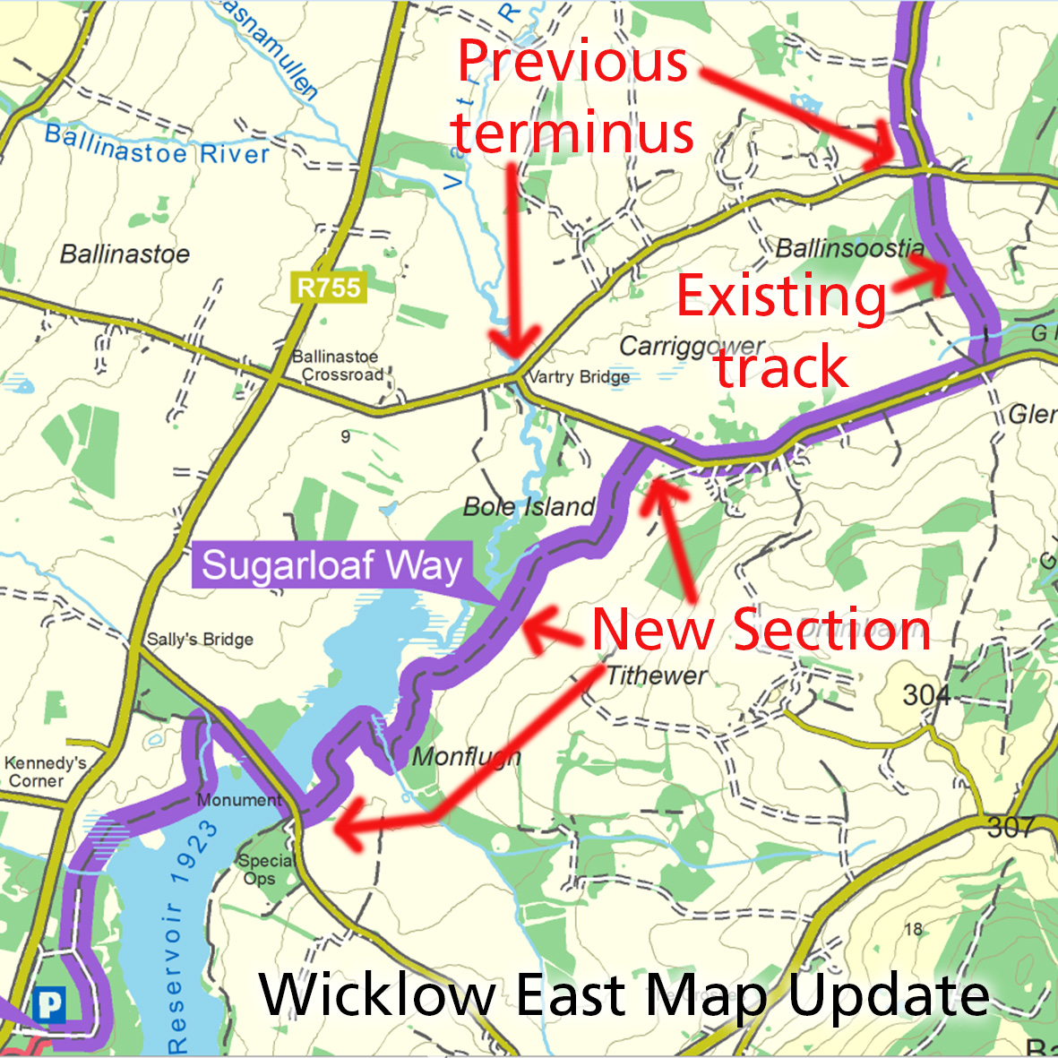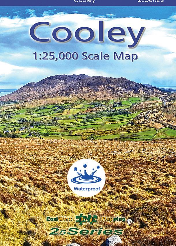
New Cooley Map
We have a new publication just hot off the press! This is a detailed map of the Cooley peninsula in Co.Louth including Slieve Foye and Ravensdale etc. This popular area is easily reached from Dublin or Belfast. Like other maps in our 25Series, the topographic detail is excellent at a scale of 1:25,000 and a 5 metre contour interval. And thanks to the help of local people like Andrew McGuinness and Derek Watters, the map has a wealth of local placename and other heritage information. Including the full Táin Way walking route, the Poc Fada course and even the site of President Joe Biden’s Louth ancestors. Special thanks are also due to Derek for ground checking some detail and generally helping with his detailed knowledge of the region.
This map is printed in a different format to our recent 25Series maps. Covering 300 square kilometres, it fits on B1 paper similar to our Wild Nephin map. Whereas recent publications have offered a choice of paper and laminated options, this map is printed on Polyart 90gsm paper. This is a fully waterproof paper and very strong. This map is available in standard folded version and supplied with a wee plastic pocket to keep it tidy. There is limited availability of flat unfolded sheets for wall display etc.
You can view further details and purchase here: Buy Cooley Map
We’ll appreciate feedback in due course from customers who use both our waterproof laminated maps and also this new (for us) map on Polyart waterproof paper. To give direction as to what we might use on new maps/ reprints etc. Thanks.
#eastwestmapping #visitlouthie #irishmaps #cartography