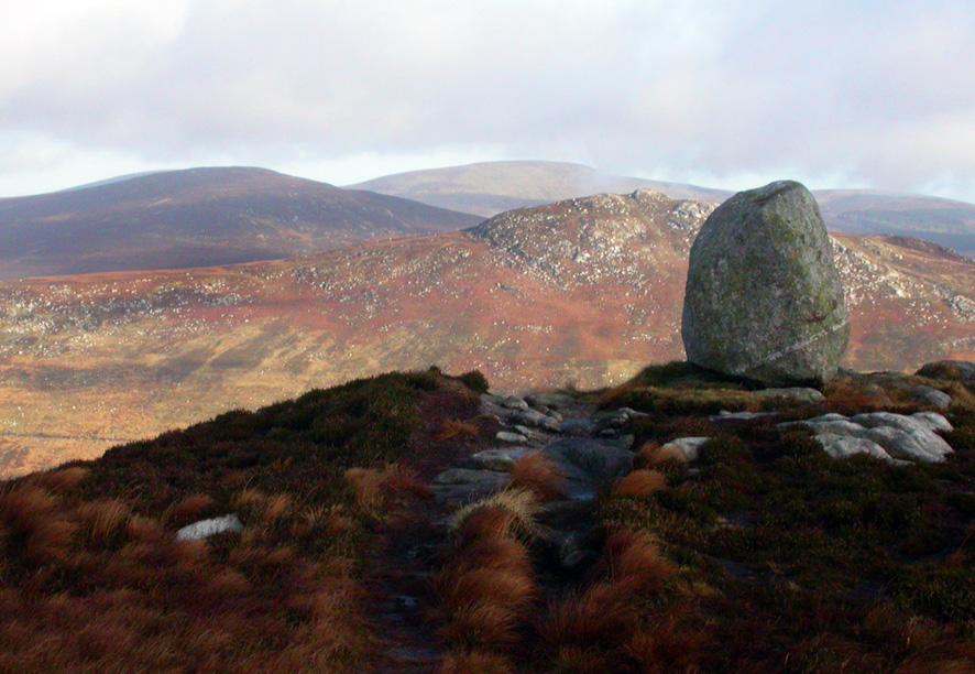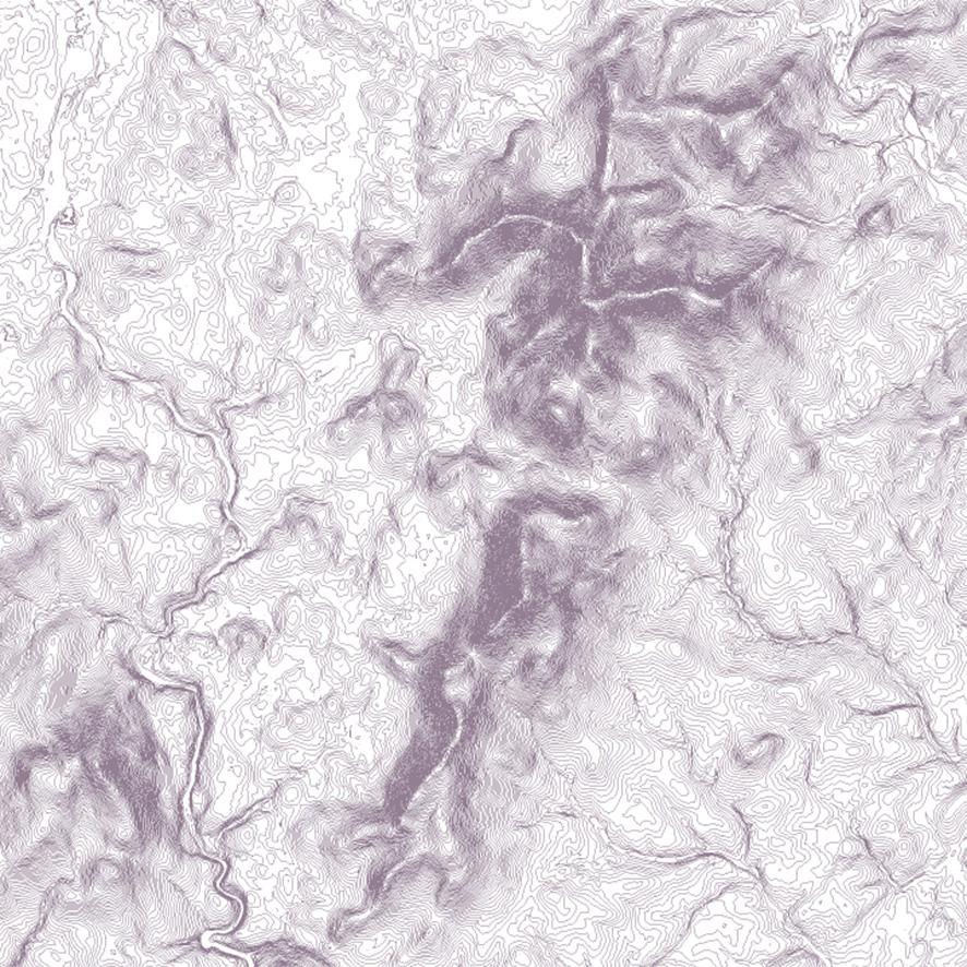
Contour Plot
Here’s a contour plot of a new piece of work that I’ve started on. If you know your Irish hills, it shouldn’t take too long to figure that it’s the Blackstairs and Mount Leinster region.
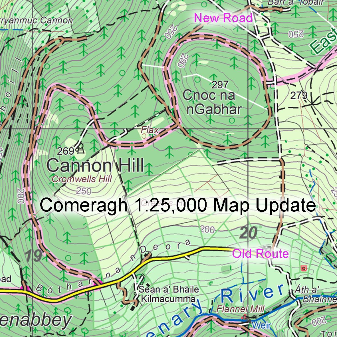
Our current map of the region was published in 2013 and that print run will run out in due course. That it’s taken 10+ years to sell the first edition indicates that map publishing is not exactly a get rich quick scheme!
Rather than simply reprinting the map, I’m replotting it from scratch to bring it up to the same standard as our more recent 25Series maps. To make it more consistent across the full coverage.
The current Blackstairs & Mount Leinster map is published at 1:25,000 and printed both sides on B1 paper. The new map will also be 1:25,000 scale but I haven’t decided yet whether to stick with this paper size and the double sided print or to use our larger format paper size and just print one side. The latter will fit more of the hills on one side but with the loss of some coverage along the Barrow. The existing B1 size fits more detail but then you have to turn over the map to use the northern and southern parts of the range. Pros & cons, so any views/ comments on this appreciated!
#eastwestmapping #blackstairs #mountleinster #barrow #carlowtourism #wexfordtrails