AllTrails
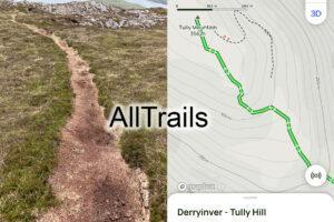
AllTrailsTraditionally casual walkers looking for walks would have bought a guidebook and map. This market has largely been transformed in recent years by phone apps. There’s a choice of such…

Cartography, Map Design & Publishing
AllTrailsTraditionally casual walkers looking for walks would have bought a guidebook and map. This market has largely been transformed in recent years by phone apps. There’s a choice of such…
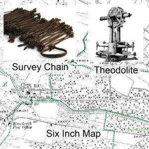
Ordnance Survey Bi CentenaryThe 21st June 2024 just past marks the bi centenary of the publication of the Spring Rice Report which set up what became two important bodies 1)…
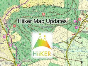
Hiiker Map UpdatesMaps from EastWest Mapping are found on the Hiiker phone app. Here we make annual updates around this time. By contrast updates don't appear in print for several…
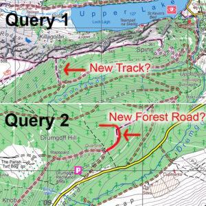
Map Update QueriesI’m currently making a round of updates to our mapping. Have a couple of queries which users may be able to shed light on. These are in relation…
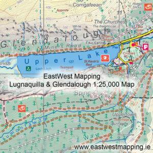
Future of Irish Mapping ~ EastWest MappingFinal part of a series on Irish Mapping: past, present & future.EastWest Mapping has been on the go for 30+ years, of which the…
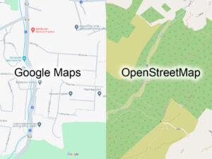
Future of Irish Mapping ~ Google & OpenStreetMapPart of a series on Irish Mapping: past, present & future.In our last post, I looked at the state mapping agency Tailte Éireann…

Future of Irish Mapping ~ Tailte ÉireannPart of a series on Irish Mapping: past, present & future.Tailte Éireann is a new state body formed from a merger of the property…
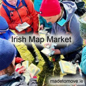
Irish Map MarketThis piece is based on generalities but which nonetheless are worth considering. There have been & will always be those who appreciate good mapping, there are likewise those…
AI & MappingPart nine of a series on Irish Mapping: past, present & future.Back in 2020, I wrote a blog piece on ‘auto mapping’ in New Zealand. Similar projects progressed…
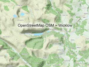
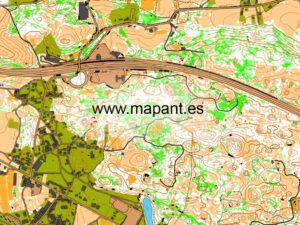
Other Map Publishers: OpenStreetMapPart eight of a series on Irish Mapping: past, present & future.OpenStreetMap or OSM is a mystery to me. Founded by Steve Coast in the UK in…