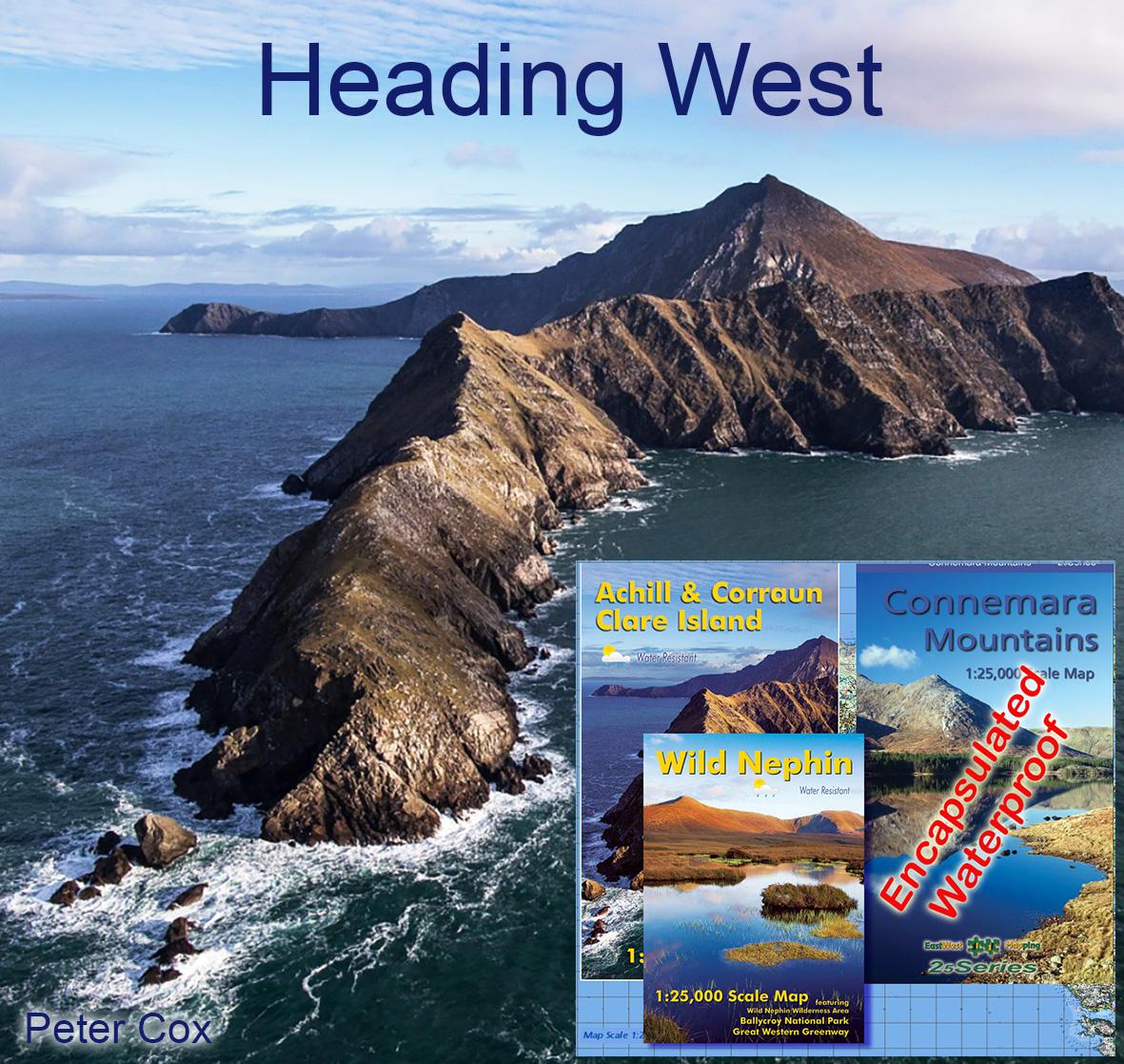
Connemara Mountains Update
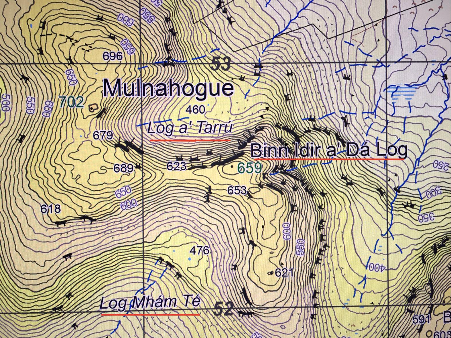
On our Connemara Mountains published earlier this year, I applied the name Mulnahogue to spot height 702 metres, the highest hill in the Maumturk range. This for the reasons outlined in this earlier blog: https://eastwestmapping.ie/mulnahogue/
Some users have expressed concern regarding this, that the name Binn Idir a’ Dá Log which has been in use for this hill for the past c.30 years was replaced with an unfamiliar name. I’d like to thank Micheál Laffey for his advice, as he is both a hill farmer near Leenane and also a keen hillwalker. Whilst outside his immediate area of detailed knowledge, he kindly went and made enquiries on both sides of this hill – in the Tír na Cille/ Gleann Fhada valley and on the Inagh/ Bun na gCnoc side.
As a result Micheál is confident that the name Binn Idir a’ Dá Log does apply in this area but not to the high point 702 metres. Rather it applies to the spot height 659 metres which I labelled Barr Sliabh na Ráithe on the print map. The name Binn Idir a’ Dá Log is quite specific – the peak between two hollows. The two hollows in question are Log Mhám Té to the SSW as marked and the hollow on the far side where I have marked a 460 metre spot height. Micheál advises this is called Log a’ Tarrú, meaning the hollow of the bull. Tarbh is the word for a bull in Irish but down west and many other places for that matter, the ‘bh’ is said as ‘ú’ or ‘oo’. So the word Dubh for dark becomes Doo or Dú and Tarbh becomes Tarrú etc. Binn Idir a’ Dá Log then is the peak between these two deep hollows, Log Mhám Té and Log a’ Tarrú.
The name Mulnahogue does not appear to be locally known now, but in the absence of any better name, I propose to retain this name that some of the 19th century survey teams used for this 702 metres height. Please see the attached update to the names there which will appear on the next digital map update and in print in due course.