Ordnance Survey 20th Century
Part three of a short series on Irish Mapping: past, present & future.
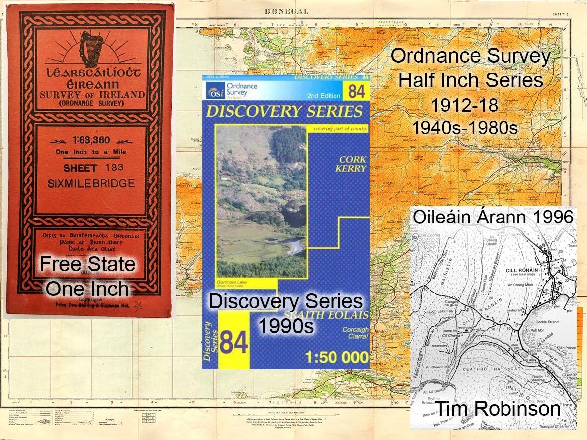
The first twenty years of the 20thC saw the Ordnance Survey continue to be run by the British military. As regards small/ medium scale mapping, one notable development was the Half Inch scale map series 1:126720 published 1912-18.
Following independence and the new Free State government taking over in 1923, the Ordnance Survey continued as was, except that the Irish Defence Forces now ran and staffed it. They inherited all the various map series both large scale and small scale and being short of cash, simply republished the material for the following two decades. Sales of the One Inch series were always slow and it was dropped in the 1940s in favour of a new coloured and updated Half Inch Series whose 25 sheets will still be recalled by many older readers here. Four special One Inch district maps were printed for Wicklow and Killarney etc. And that’s how it was for effectively the first 70 years of the state.
All this time, the army remained the only entry point to the Ordnance Survey, it was the case when I finished my land survey studies in 1981. Staff levels were low and personnel could be pulled for regular army duties as required. Around this time, the Ordnance Survey was ordered to be more commercial and started competing for tenders on the sort of work done by the remnants of the private land survey industry, roads and urban surveys. As in the 19thC this caused much angst and resentment.
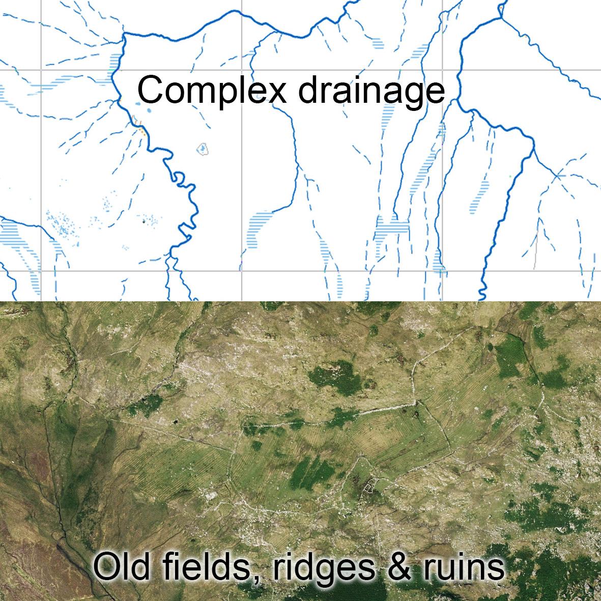
Everyone recognised the deplorable state of small scale mapping and the one big contribution by the state was the development of a brand new 1:50,000 map database with 10m contouring. This the Discovery Series was largely compiled from aerial photography, completed in the 1990s and was a big step change from the old maps.
On other fronts, English publishers like Bartholomews and Phillips/ Collins had retained copyright on the old pre independence mapping and published popular road maps till these fell out of fashion in recent years. Finally an Englishman, Tim Robinson settled in the west and produced three fine maps of the Aran Islands, Burren and South Connemara. These maps were almost the antithesis of the new OSi Discovery digital mapping. Whereas the latter were published with very little fieldwork, Tim’s maps harked back to the 19thC with virtually every field walked and looked at.
#eastwestmapping #cartography #irishmaps