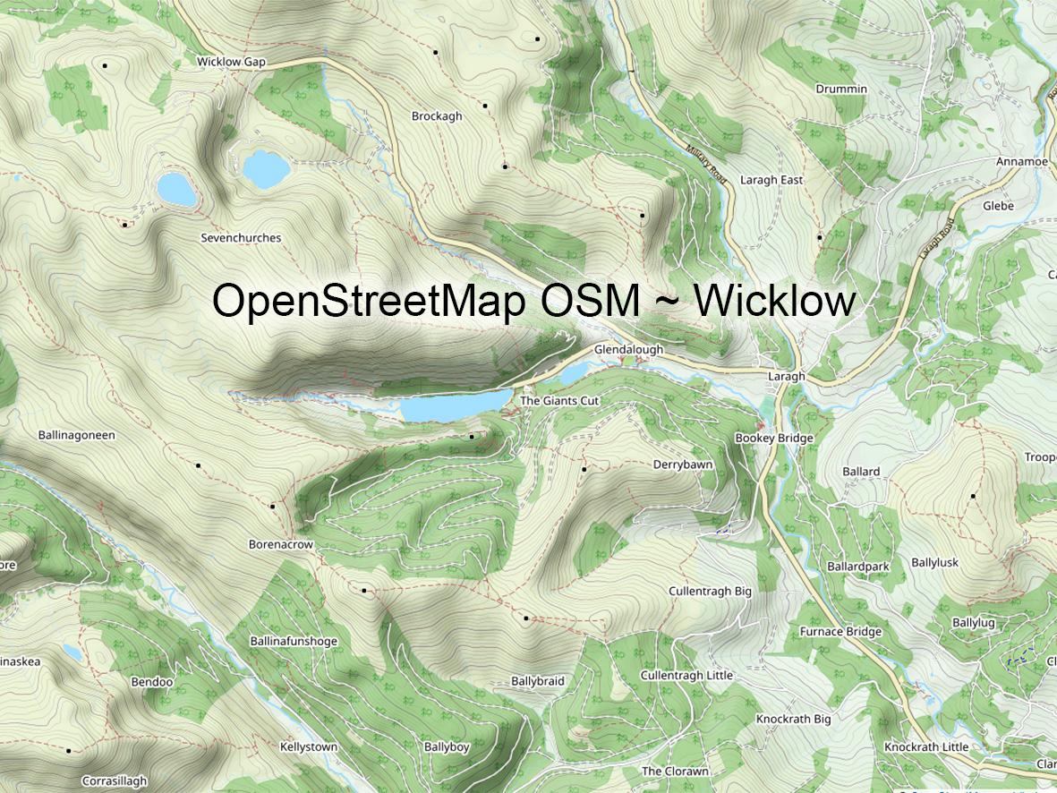
Mweelrea Plot
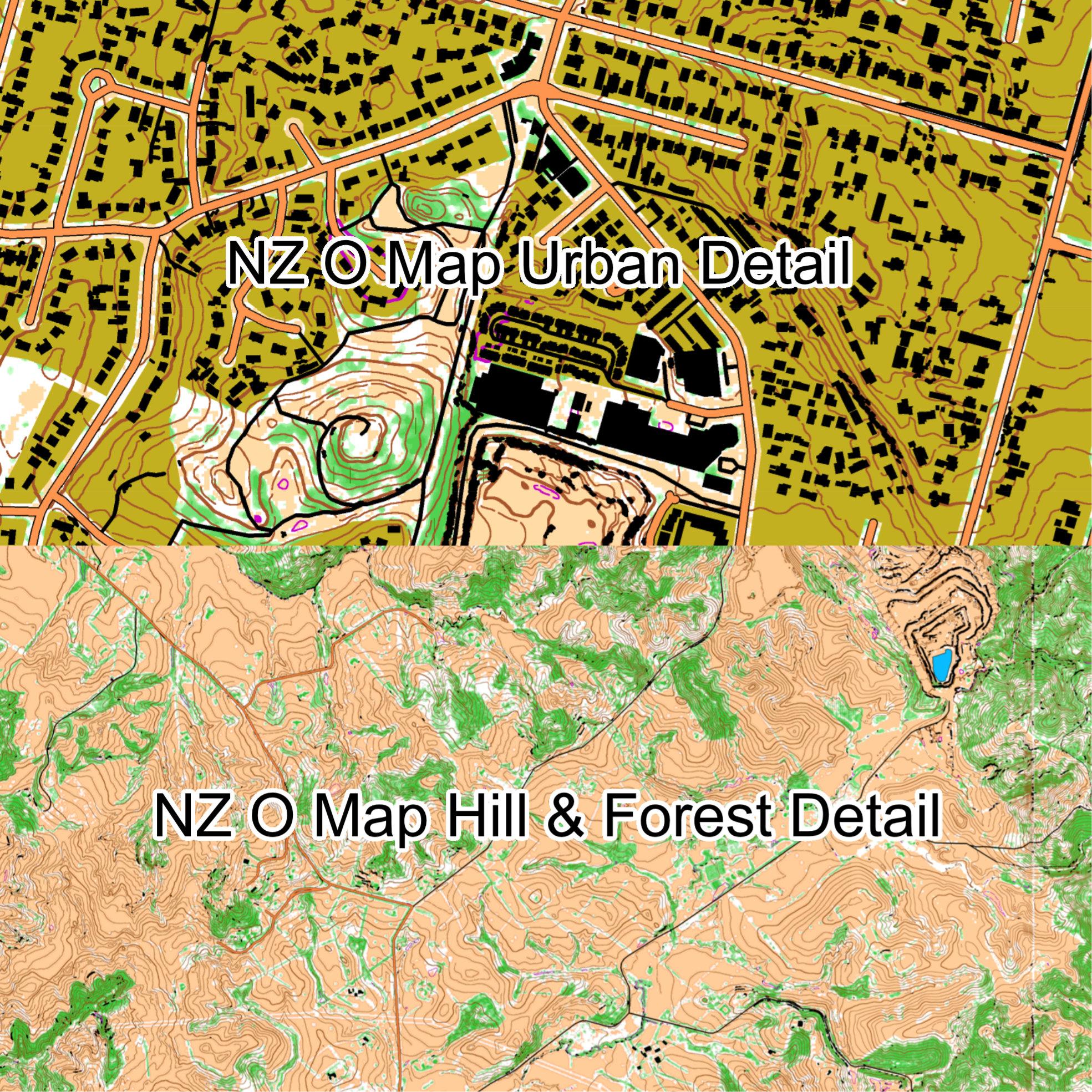
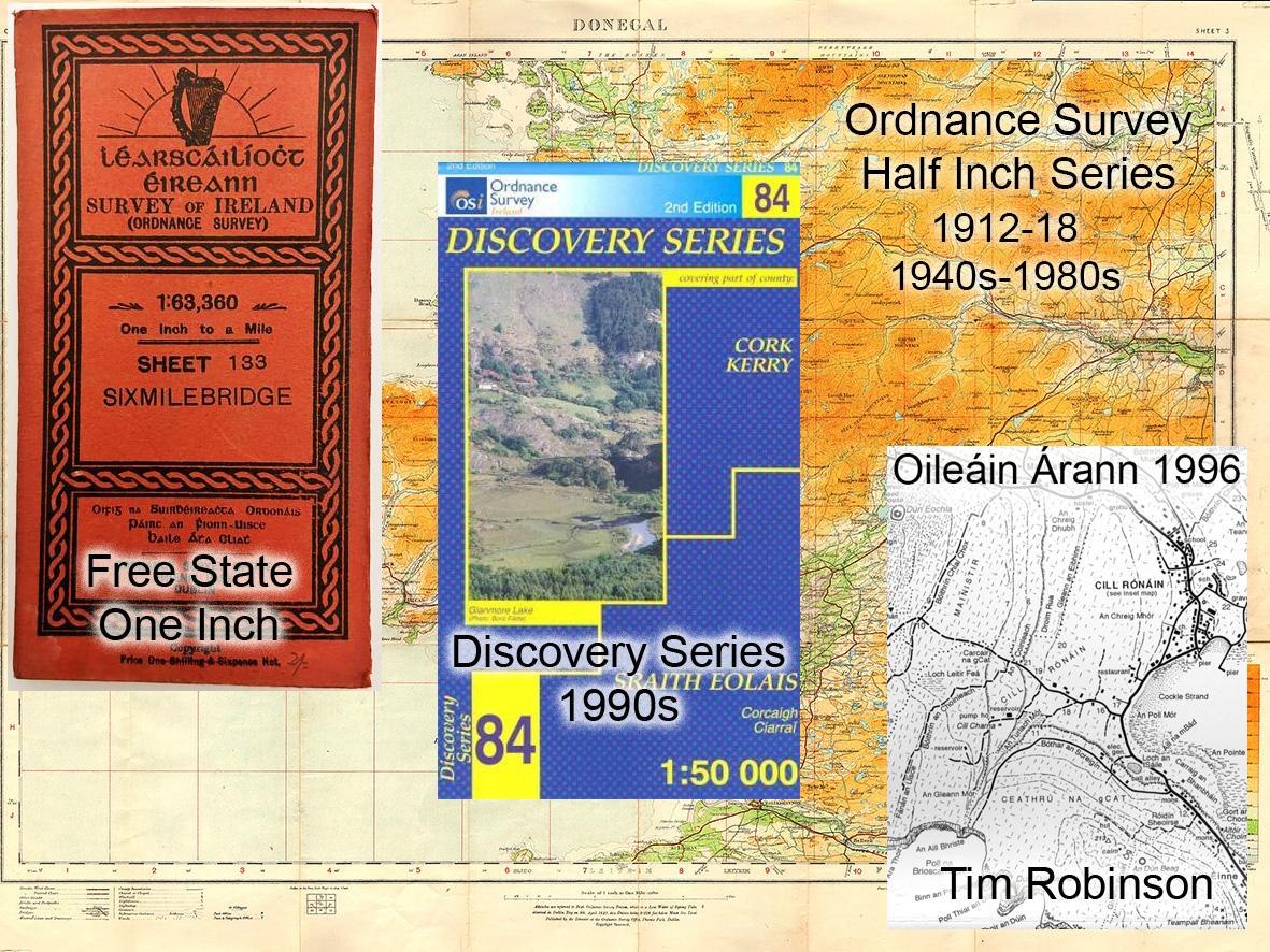
For the past several months I’ve been tipping away at the detail plot for new 1:25000 mapping for the region between Killary Harbour & Clew Bay. So essentially Mweelrea, the Sheefry Hills and of course The Reek. There’s a way to go yet, so could be early 2024 till published.
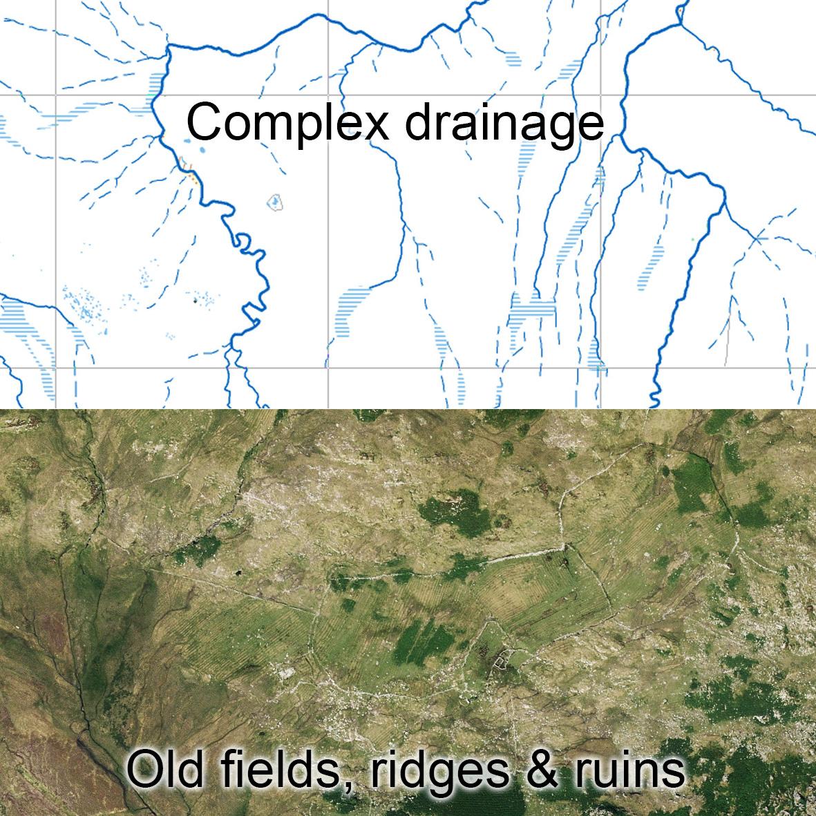
Mweelrea is of course well trodden these days, the likes of Ben Creggan and Binn Ghorm are also visited and you’d hardly need a map for Croagh Patrick via the normal pilgrim route. But there is much terrain in between all these that barely sees a person from one month to the next. It’s complex terrain in places with some treacherous looking bog. Hidden away in pockets here & there is much evidence of abandoned human settlement and quite remote in places.
The images here show two aspects – the complex drainage with multiple watersheds and bog streams feeding into fiodáns, into srutháns/ streams, feeding larger rivers in turn, thence to the ocean. Some of these you wouldn’t want to be crossing on wet days.
And secondly a sample area of old settlement with the classic rounded fields filled with cultivation ridges, ruins and hut sites. At a guess these were likely developed here in the 18th century as the population increased and cultivable land was sought out. Then abandoned probably in the mid 19th century.
#eastwestmapping #hillwalkingireland #outdoorsireland #mweelrea #NationalHeritageWeek