Thoughts on Navigation ~ The Language of Maps
One of the great strengths of maps are their capacity to condense a lot of information into a small space. If you sat down to write out, say just 1 square kilometre of a reasonably detailed map, you’d soon end up with several pages of text just describing the nature of each feature at which point you would fill many more explaining their relationship to each other. Maps achieve this by using a graphical language made up of symbols and certain conventions.
It may sound very obvious to suggest that before you can successfully navigate with a map, you first need to know what the symbols represent! A well made map should have two characteristics are regards symbols 1) the symbol design should be suggestive of the nature of the feature and 2) symbols should be applied consistently to features across the map – i.e. if a ‘path’ symbol represents a linear track on the ground that is only wide enough for walking, then all such paths in the area mapped should use this symbol and ideally all such paths of this size should be shown. This is a challenge to the map maker, firstly it requires field interpretation and secondly even when the information is correctly classified at the time of printing, the information goes out of date as the map ages.
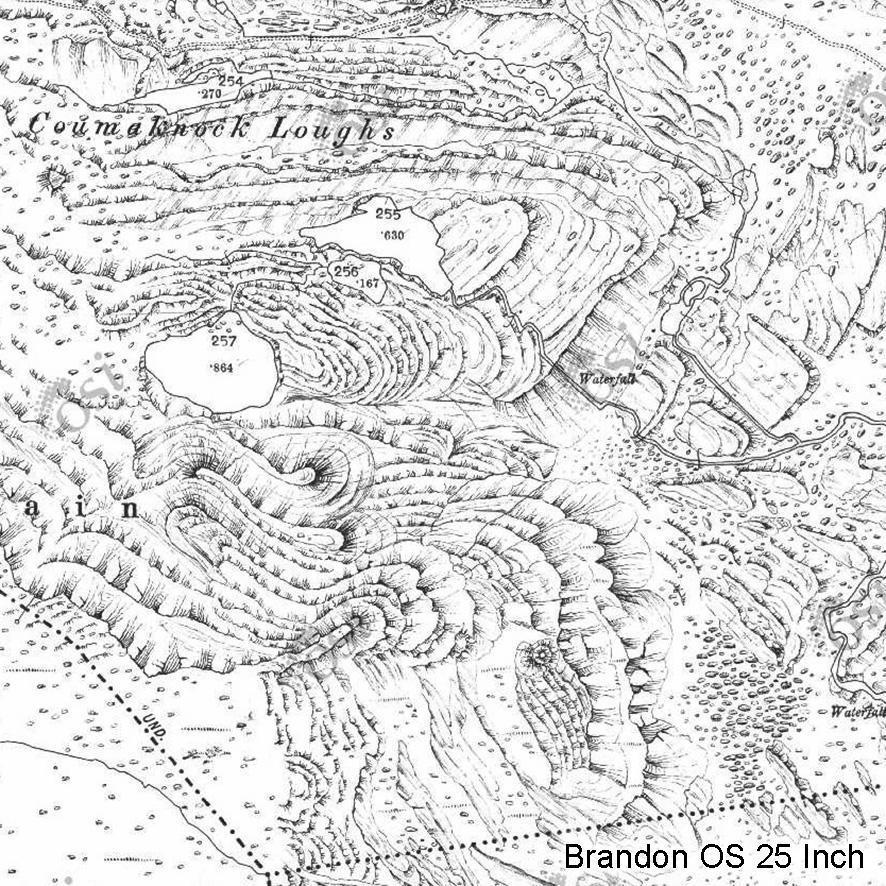
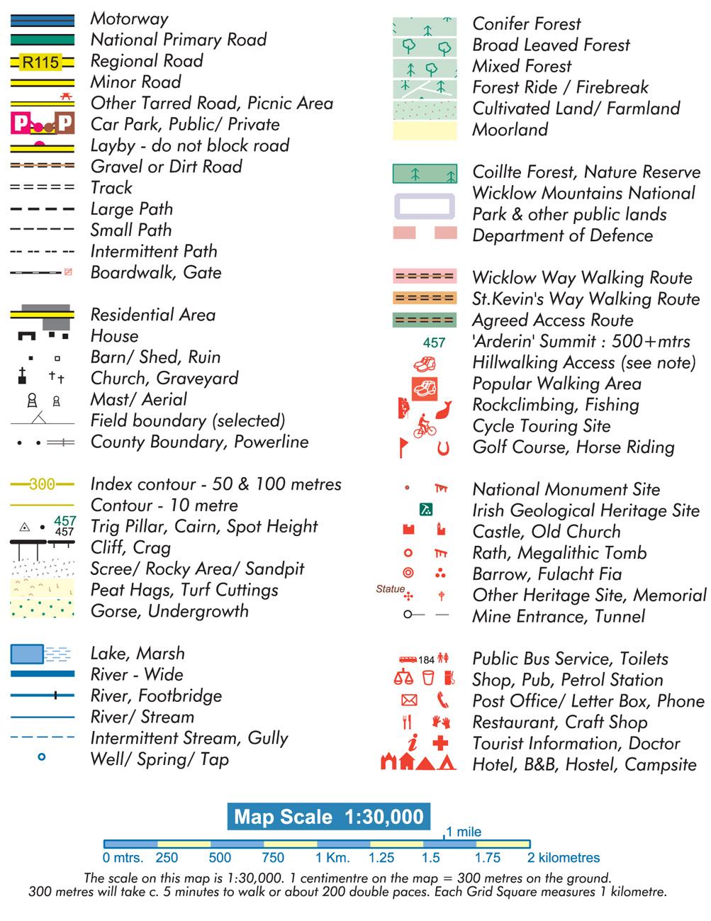
Your first stop is to look up the ‘map legend’ or ‘key to symbols’ but this may only be a rough guide and you’ll get a better idea when you actually use the map and see how the symbols apply in reality. Take a standard OSI Discovery map – the black colour dashed line symbol is described as a track. In reality this can be anything from a wide forest road to an overgrown firebreak to a vague path. Here’s a brief guide to some of the symbols found on EastWest Mapping maps and how we attempt to classify the features with our working definitions: see attached symbol list.
Motorway, National Primary and Regional Roads – as defined by the National Roads Authority and local authorities, some of the bigger, busier local roads are also shown as Regional Roads.
Minor Road – tarred, in general two cars can pass each other fairly comfortably.
Other Tarred Road – tarred, in general when two cars meet, one will have to pull in to let other pass. These maybe small local public roads or lanes and also roads serving a number of private houses.
Gravel or Dirt road – stone or gravel surface, drivable in an ordinary car, although maybe impossible due to odd gullies or be gated etc. Also used for tarred entrances to single private houses etc.
Track – of vehicle width but not drivable in an ordinary car, four wheel drive or tractor etc. only
Large Path – well worn and used paths often where two people can walk abreast, sometimes tarred in park environments etc. Boardwalk shown with separate symbol.
Small Path – standard narrow but continuous path.
Intermittent Path – you’d need to be following such a path to make it out, also used for alignments of old roads which may not longer be followable.
River Wide – large rivers that you couldn’t normally cross without swimming, deep wading.
River – large rivers that might be crossable if you search for a suitable set of shallows or rocks. Probably unwise to cross when in flood, unless by bridge!
River/Stream – smaller rivers that are generally crossable without too much difficulty in normal weather.
Intermittent Stream, Gully – streams that dry up in summer, drainage lines and linear marshes.
Spot height, figure only – the altitude at this location, no cairn
Spot height, with dot – the altitude at this location, with cairn or rock
Spot height, with trig pillar – the altitude at this location, marked by survey trigonometric pillar
Features don’t always fall exactly into one category or the other – a road may be of variable width etc., so in these instances the surveyor must choose whatever they think represents the feature best overall.