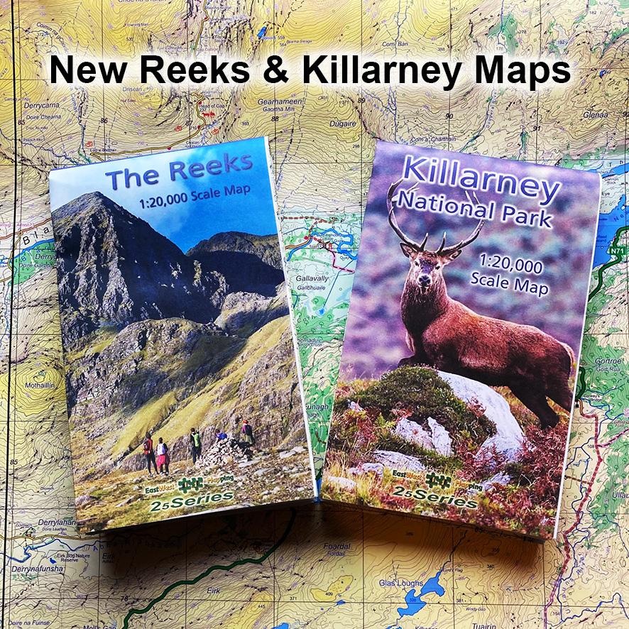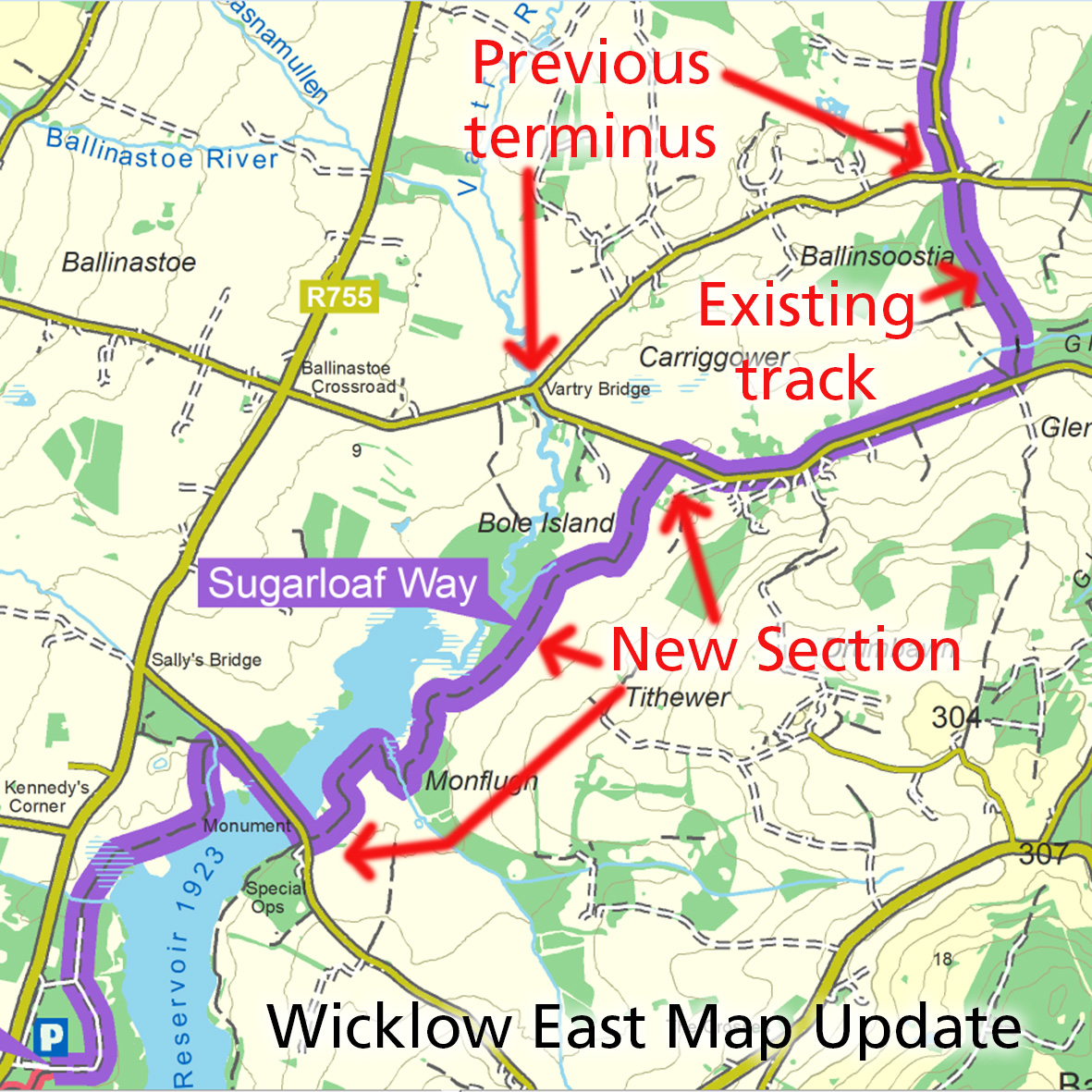
Sugarloaf Way Update
Map update for our Wicklow East 1:25,000 print map.
The Wicklow Way is a popular signposted walking trail and there have been moves afoot for many years to develop links to the WW and parallel trails to allow for a circuit. One such is the Sugarloaf Way which is part of a route from Bray (DART) running south through Calary to link with the WW via Roundwood or via Trooperstown.
To date, the southern terminus of the Sugarloaf Way was at Vartry Bridge. However it has now been very usefully extended partly via existing tracks through Ballinsoostia. Continuing southwards on new purpose built pathways through Tithewer and above the upper section of the Vartry Reservoir. This in turn connects to the already established trails around the reservoir, all shown on our mapping and leading to Roundwood.
The map here shows the relevant parts of the route as described above. With minimal tar road walking now, it is possible to start/ finish at Bray, connect to the Wicklow Way above Roundwood, returning to start/ finish at Marlay Park.
#eastwestmapping #wicklowtourism #wicklowmountains #outdoorsireland