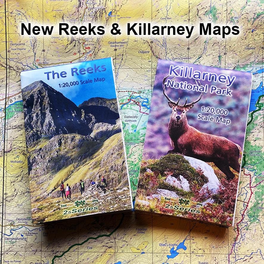
Spring is coming in, the mountains and glens are calling and I wish to advise that our two new maps for The Reeks and Killarney National Park are now available. These sheets have been compiled to our 25Series standard with a 5 metre contour interval. However for clarity on this steep and in places complex terrain, they are published at 1:20,000 scale. Extracts of sample detail and map coverage can be found on our website at the links below.
These maps can be purchased in various forms: 1) standard paper folded – excellent for indoor consultation 2) encapsulated/ waterproof folded – excellent for outdoor use 3) digital for our phone app EastWest Maps and 4) flat, unfolded – suitable for wall display, collection. We have a small amount of flat copies and those who prebooked these sheets have priority.
Purchase Killarney National Park map
Once again I wish to thank all our customers for their support & custom. These maps have been produced with no public funding. We rely on map sales both to recover the costs of production and to develop similar mapping of other areas.
For those concerned about measuring distance on a 1:20,000 scale map, please note three things 1) the one kilometre square grid printed across the map allows for quick rough measurement and estimation 2) most compasses have a scale in centimetres along the side, where one centimetre = 200 metres and 1 millimetre = 20 metres 3) Recent Silva Expedition 4 compasses have a 1:40,000 romer scale for Harvey/ BMC Mountain maps. You can read off a distance with this and then halve the result.