Placenames in Cooley
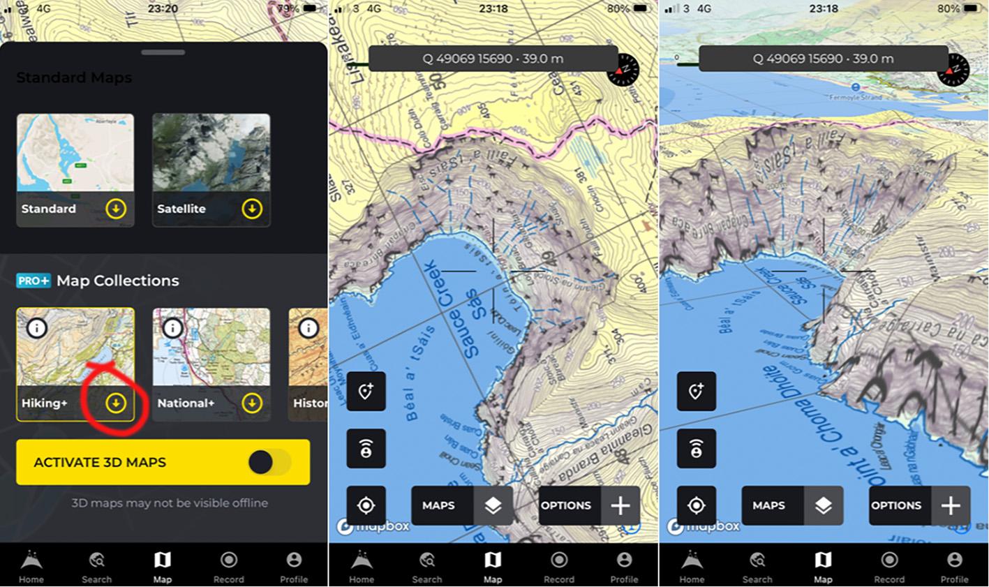
Placenames on our new 1:25000 map of Cooley are based on various sources both written & verbal. An important collection was put together by local man Andrew McGuinness & Eve Campbell a few years ago, titled Mapping the Minor Placenames of the Cooley Mountains. The map draws on this with further research by Andrew, also the Louth Fieldnames Project, Schools Collection and Derek Watters study of Stone Structures of the region.
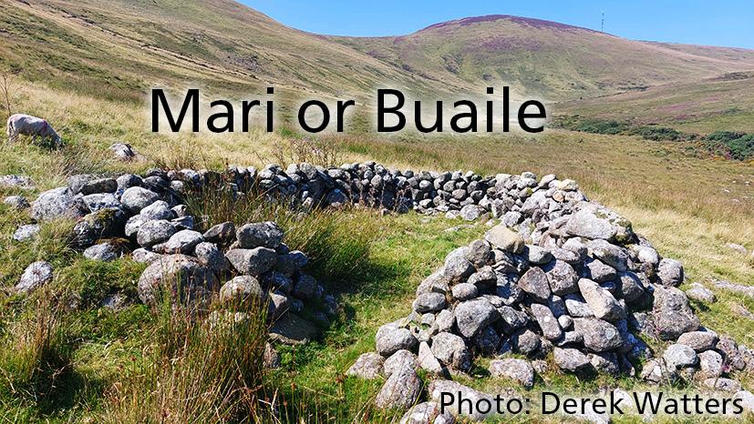
Preference is given to local forms and there are two interesting words that crop up which I’ve not seen elsewhere. The first of these is ‘mari’, where is a mari is typically a small stone enclosure. Elsewhere these might be called hut sites or pens/pins or buaile/ booleys etc. They may once have been shelters for people herding cattle up on the hill during summer and/or used as pens to gather a few sheep in. But mari is the local word here: Mari Tanamuc, New Mari, Mari Larry Rua, McKennas Mari etc
The second word is ‘cronc’ as in cronk and is applied to sloping hillsides. It seems likely that is a Manx term as ‘cronk’ has the meaning of hill on the Isle of Man. In the south east in Comeragh or Galtee areas, this would be a ‘leaca’. Over in the west, the word ‘leitir’ is used there for such hillsides. Examples in Cooley would Cronc na Molta – the hillside of the wethers (castrated male sheep) and Cronc a’ Crinn etc.
Some people/ authorities might prefer to have such terms standardised but I’m more for the richness of cultural diversity.
#eastwestmapping #irishmaps