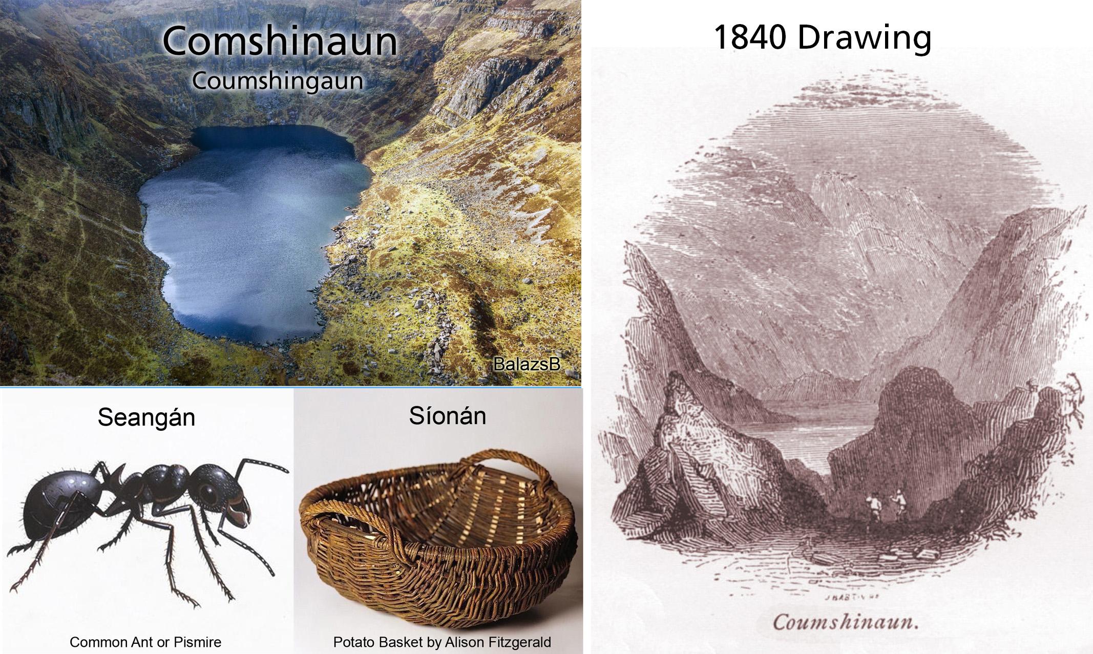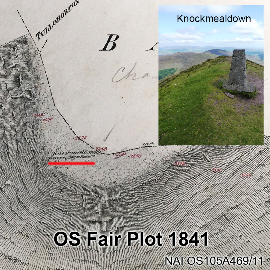
Kippure – The Pole
Kippure is a townland and also the name given to the highest mountain in Co.Dublin at 757 metres in altitude. Straddling the Dublin/Wicklow border, it is well known to hillwalkers and visible from many quarters due to the RTE TV mast constructed in the early 1960s. The original meaning of Kippure is a little obscure: the ‘official’ version is Cipiúr, perhaps a place of yew trees though this is quite unlikely as yew would not tolerate high mountain blanket bog as found here. Price suggests Ciop Mhór, a great expanse of coarse mountain grass but if this was the case, one would expect an anglicised form like Kippvore.
Whatever about the original name, this piece is about a more ‘recent’ local name for the height, which I came across a couple of years ago whilst talking to hill farmers in Glenasmole – they said it was known locally as The Pole. Initially, I thought this was jokey reference to the RTE mast but it soon became clear that the name was in use well before this unfortunate blight on the landscape came into being. Indeed the book ‘Malachi Horan Remembers’, published 1943 mentions the name.
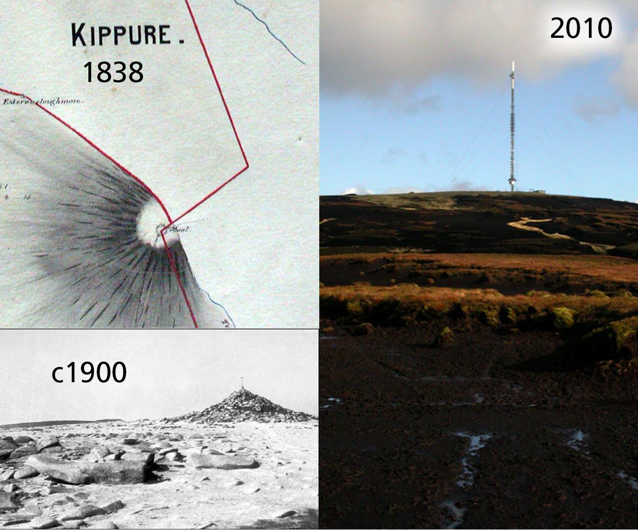
What was the nature of the summit of Kippure prior to the mast? The local historian & photographer Patrick Healy writing in 1954 records that ‘The top of this mountain was distinguished by a pile of stones erected as a survey mark by the O.S. This was replaced around 1930 by a concrete pillar to define this major trigonometrical station. We will shortly see the erection here of our main television mast. The slopes of Kippure are covered by a turf bog over 6 feet deep which has been cut by the weather into a number of great furrows conspicuous even from a great distance. The summit had been denuded of turf and is composed of stones and granite sand.’ Accompanying a version of above in the booklet ‘Glenasmole Roads’ is a photo, apparently taken by Healy, showing the summit prior to construction work – see below.
However, there are maps related to the Powerscourt estate dated 1838 and 1850, clearly labeling ‘Moat’ on the summit. The local use of the word ‘moat’ hereabouts is any sort of hillock or cairn, usually man made. We may consider that this moat was in fact a burial cairn similar to the cairns which occupy adjacent hill summits of Seefingan, Seefin & Seechon etc.
Here we must consider the activities of the Ordnance Survey; the Irish Survey commencing in 1825 and which produced the great six inch maps was based on a trigonometric framework. That is to say, the country was split into a series of great triangles with sides up to eighty miles in length and the nodes of these triangles were typically mountain tops. A theodolite was set up at a specific point (latterly a triangulation pillar) on each of these tops and used to measure horizontal and vertical angles to other summits in the network. Kippure was a primary triangulation station and observations were made from and to it, from stations on hills as far as away as Slieve Donard in Down, Keeper Hill in Limerick and Snowdon in Wales. It could take days, weeks even for the right weather conditions to prevail so that the necessary angles could be measured and it was common to camp out on the slopes and wait. Even on the summit, shelter was needed for several hours and Thomas Colby, ‘father’ of the survey was himself said to have destroyed an ancient monument of the summit of Donard to facilitate the construction of the measuring station. We may reasonably presume that the ‘moat’ on Kippure was knocked about for the same reasons and that the cairn in the above photo of Kippure, if not part of the ‘moat’, was made from materials extracted from same.
The principal problem the observers faced was identifying the correct spot to focus on when observing these distant hills and the first solution was to place large poles at the stations on each summit. These would have been left in situ to facilitate as reference/ observation points from other stations at later dates. This marking pole is most likely the source of the local name, ‘The Pole’ for Kippure and so would date to around 1825/26. Interestingly, it is mentioned in JH Andrews history of the Ordnance Survey, ‘A Paper Landscape’ as the location of a dispute in November 1827 whence the unguarded pole on Kippure was removed by local people. It’s difficult to know what their grievance was from this distance but it likely lay in deep suspicion of anything connected with survey work – this was a time when many landed estates were coming under financial pressure. Their solution to this was often to employ estate surveyors and valuers, which tended in turn to herald a rise in rents. Alternatively it lay in dissatisfaction with the desecration of what they possibly regarded as a site of some religious or cultural significance?