Early Irish Surveyors – the Golden Age
Part one of a short series on Irish Mapping: past, present & future.
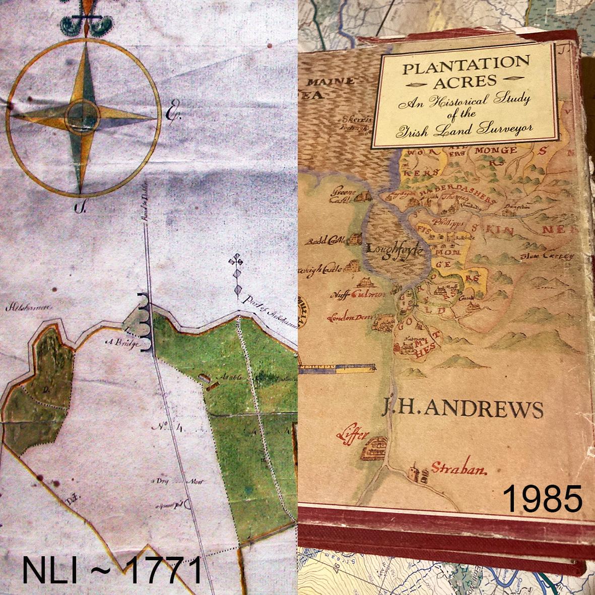
People are generally unaware of the prolific works of numerous Irish land surveyors of the 16th to 19th centuries. The most comprehensive study of this activity is found in the late John Andrews book called Plantation Acres, out of print.
There was a great abundance of work in this period largely resulting from the various plantations and the establishment and growth of large estates. These estates were run as businesses, large & small. It was necessary for each to establish what their boundaries were, their acreages both in total but also the areas of each plot of land. This information combined with a valuation of the land quality was used to derive the rent set for each tenant. It also formed the basis of the taxation system with a cess tax payable by the estate owner to the local county grand juries (the modern County Council). And of course in due course, for the sale and disposal of estates.
The heyday of this work was in the latter 1700s and early 1800s with several hundred local land surveyors and valuers offering their services. In early days they came from England looking for work but there were soon many Irish practitioners like Lawrence Nowlan or Peter Callan. Then also came a continental style with the likes of Bernard Scalé and John Rocque.
Being legal documents, it’s not surprising that a good number of these maps survive in various collections both public & private. The National Library has a large collection of them for instance, as do other map libraries.
The latter end of this period saw the more accomplished surveyors like Bald & Larkin producing county size maps but all this endeavor soon came to a shuddering halt with the government Six Inch survey and valuation, of which more anon.
#eastwestmapping #cartography #irishmaps