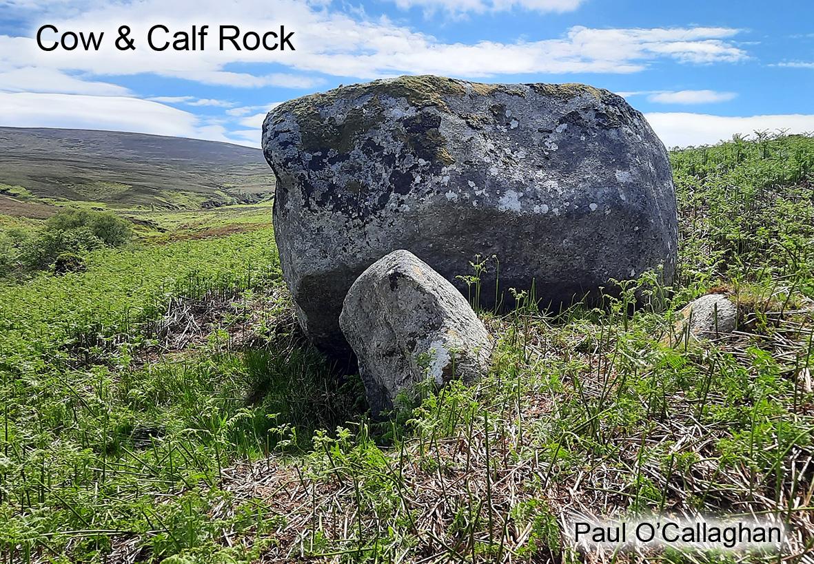
Comeragh Placenames Part 6
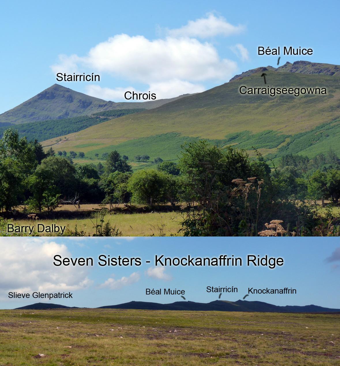
North of Beárna Bhéil a’ Bhealaigh or The Gap lies some six kilometres of high ground known to hillwalkers as the Knockanaffrin Ridge. Locally this ridge is known as The Seven Sisters for the several lumps along the height, viewed best from Glenpatrick or Moanyaha Bog. Knockanaffrin or Cnoc an Aifrinn means the hill of the mass and locally would be understood for the whole SW side of the mountain going down for the Nire. The mass site itself was likely down in the Nire valley, I’ve marked where the site is locally thought to be but it may well have been at or close by the site of the present Nire Church. Open air mass sites are very much associated in local folklore with secret locations due to the penal laws. Doubtless there is some substance in this but practically I think that open air masses must have been the norm through mediaeval times and into the 19th century. If you look at surviving early churches, they tend to be small and clearly incapable of facilitating a rural congregation of any size. So presumably priests travelled their regions and held open air masses at suitable convenient locations with ease of access.
The summit of Knockanaffrin is known locally as Stol a’ tSaighdiúrí, the peak or point of the soldiers, a clear reference to the 19th century Ordnance Survey military surveyors who had/ have a triangulation pillar on the summit. North of summit, the ridge narrows to a point and this is called Stairricín, the little jutting peak. We then descend to Chrois – the crossing, this is a gap in the ridge where the people of Glenanore or Knocknaree would cut across to get to Rathgormack.
The height north of An Chrois is known to hillwalkers (from OS maps) as Knocksheegowna. However local enquiries that I made after this name met with a blank, the name is known alright but is applied to the prominent jutting spur on the NE side of the hill overlooking Glenpatrick ‘village’. This is Carraigseegowna, so this and Knocksheegowna are one and the same. There are old enclosures below this which I think are the site of Canon Power’s ‘Sí Gabhna’ – fairy fort of the cattle. So Carraig or Knocksheegowna is the rock or hill of this fairy fort of the cattle.
The height labelled as Knocksheegowna on OS maps is known locally as Béal Muice, which is explained as the opening or mouth of the pig and a reference to the little saddle on the double lumped summit. The name Coffey’s Pier is also associated with the summit, Coffey was a local man who was contracted to convey the sand, gravel and cement up to construct the trig pillar there in the 1950s. This he achieved with some difficulty and the use of his horse.