Comeragh Placenames Part 5
Proceeding north from the black bog of Móin a’ Mhullaigh, we arrive at the edge of a deep coum now known as The Boolas, formerly Com Iarthar. This seems to mean the western coum, perhaps named by the people of Kilclooney & Ross as its west of or beyond Comshinaun and Crotty’s, the other major coums on this eastern side.
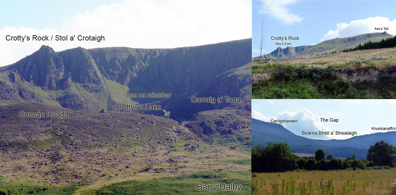
Crotty’s Lake itself is of course associated with William Crotty the 18th century raparee of which much is written elsewhere. The notable feature of the high cliffs behind the lake is Crotty’s Rock, a twin towered pinnacle from which Crotty’s wife is said to have thrown herself following his capture in 1742. Stol a’ Crotaigh was the local Irish name for these pinnacles, where ‘stol’ or ‘stolla’ means a projection, a pinnacle. Alternatively I believe it is sometimes called the Ass’s Ears.
I have used the name Croughduff for the main height above The Boolas. Curraghduff is the name of a large townland stretching from here towards the Nire car park. It’s hard to know what the original form was but modern local pronunciation is closer to ‘Cruck’ and not Curragh as in the Curragh of Kildare. Two parts of the lower slopes are called Cruckduff and Cruckbawn. Since the OS survey teams used the name Curraghduff for this station in 1841, I’ve interpreted that as Croughduff – the black or dark hill. The name Carrignagower is not known locally now for this area.
Com Ladhrach lies to the west of Croughduff, a sloping narrow coum. I think here it means the coum of forkings, a reference to branching streamlets. It may also be a form of ‘lár’ – the middle or centre coum.
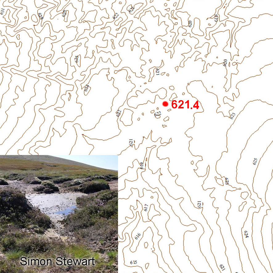
The Sgilloge Loughs lie to the west again. It is thought that the name comes from the Irish ‘sciollóg’ or ‘sceallóg’ meaning a slice or slicing and a reference to how the two lakes are likened to have been one lake but cut in half.
Descending north from Croughduff towards The Gap, we must bypass a notable rocky steepening. The OS maps label this as Carrigshanean, said to be the ‘rock of the old bird’ which is an odd meaning. I’ve heard it locally called Carrigshaneen, which points to some other meaning.
The Gap itself is an important feature as it is the natural passage between two sides of the hills, the Nire and Rathgormack. It’s older Irish name is Beárna Bhéil a’ Bhealaigh, the gap opening of the road or way. This track would have been crossed many times for many reasons over the centuries but it has an association with a tradition of burying some families from the Nire in Rathgormack and was known as Bótharín na Sochraidhe – the funeral track. The name Staighre or steps applies to the upper parts of the Rathgormack side. The route is still signposted down through the woods, though it takes a modern variant through the plantation.