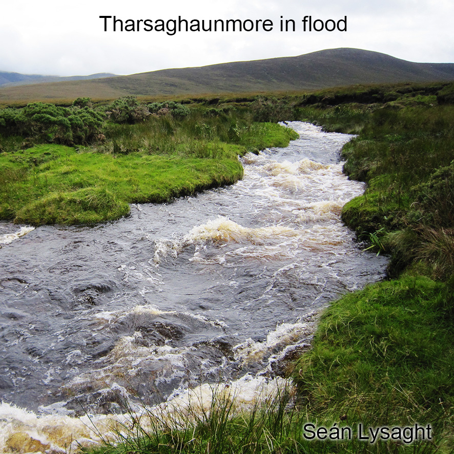
The crossing of streams and rivers is arguably the most common objective hazard faced by Irish hill walkers. Often pleasant & good fun to boulder hop in dry conditions, challenging in wetter weather and sadly occasionally fatal. It requires judgement and experience to deal with fast flowing streams safely. A few basic pointers are: 1) don’t attempt if in doubt, as problems can escalate very quickly 2) detour to a foot or road bridge & 3) walk upstream to where the stream or river divides into smaller tributaries which can be crossed more safely.
Anticipation and prevention though is the best solution, by choosing or changing a route to avoid predictable difficulty in wet weather. Mountain streams and rivers rise quickly in heavy rain, but you must consider not just rainfall on the day but critically if the previous days have been wet. A map can also be of help to assess likely problems: on EastWest Mapping maps, we have four main symbols for watercourses: 1) wide river drawn to scale with bank lines and islands – difficult to cross generally 2) river drawn as thick blue line – usually crossable in dry weather by searching for a spot, likely uncrossable in flood 3) stream drawn as thin blue line – crossable easily in dry weather but search needed for safe spot in wet conditions 4) drain, gulley drawn as dashed blue line – possibly bone dry in summer, stream like after rain but crossable.
So first check for the symbol used on the map but of more importance is to look at the catchment area of the stream or river you propose to cross. Here you need to understand the contours and judge the size, the area and number of valleys that are feeding into the watercourse. In wet weather, a stream in a relatively small valley may be handily crossed but expect to get your feet wet. Whilst a stream in a large deep valley will likely be a dangerous fast flowing torrent. So the best advice is to read the weather and map together, in order to anticipate and avoid the problem.


