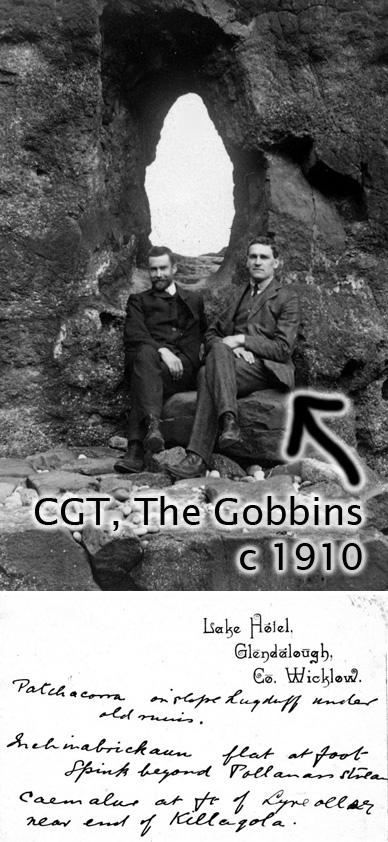
Thoughts on Navigation ~ Using a GPS
A dedicated GPS unit or phone app like Hiiker can be used in various ways. In it’s simplest form you can plan and navigate using standard paper maps and map reading skills, just checking for your location from time to time when needed on the unit or app. At the other end of the scale, you can plan an entire day on the hills with tools provided by Hiiker, import the route to the app and then follow it as you progress along the ground. Of course, there is a price for such ease and generally the issue in battery power. You’ll get an idea fairly quickly of how long you can use your GPS unit or smartphone in ‘continuous mode’ in terms of battery consumption. Typically you’ll need to investigate the ‘power saving’ options, so that it runs in a background mode in your pocket and just use ‘continuous mode’ type navigation for the spots where you really need it.
Another alternative is to import a ‘track’ into your device using a GPX file format and then use this as a guide. Ideally someone will have walked the route previously and used their device to record this ‘track’ – like a virtual trail of breadcrumbs. This is then exported from their device and saved in GPX format, a common standard for exchanging such data between devices of different manufacturers. You download the GPX file typically, import into your unit and follow their virtual ‘trail of breadcrumbs’ on your device. Beware though, be very careful where you get your GPX tracks from! Some people generate such tracks from desktop mapping systems, they don’t walk the route themselves and the tracks that they generate might be impossible to follow in places on the ground! A case of the old ‘garbage in, garbage out’. You must also assess whether the route is suitable for you before setting out and have some alternative plan if you need to cut it short or your device fails etc.
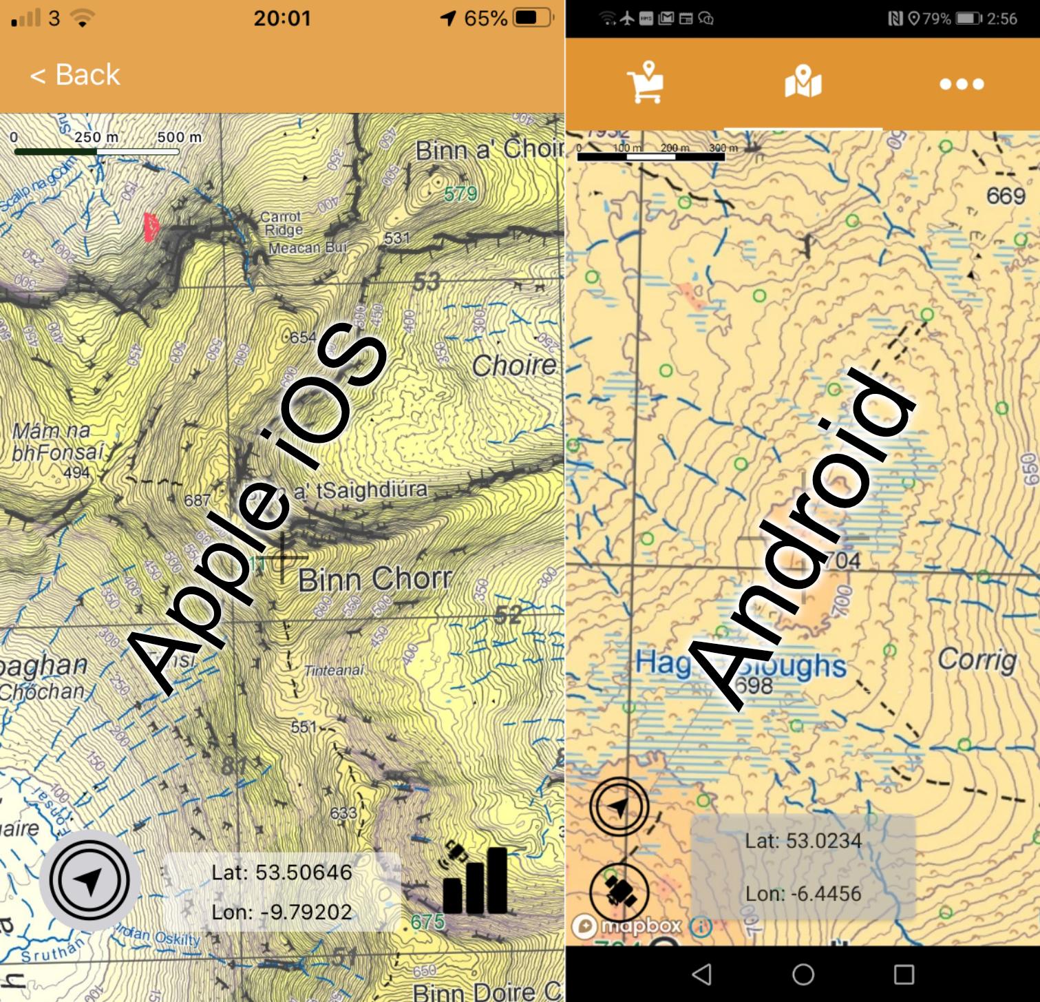
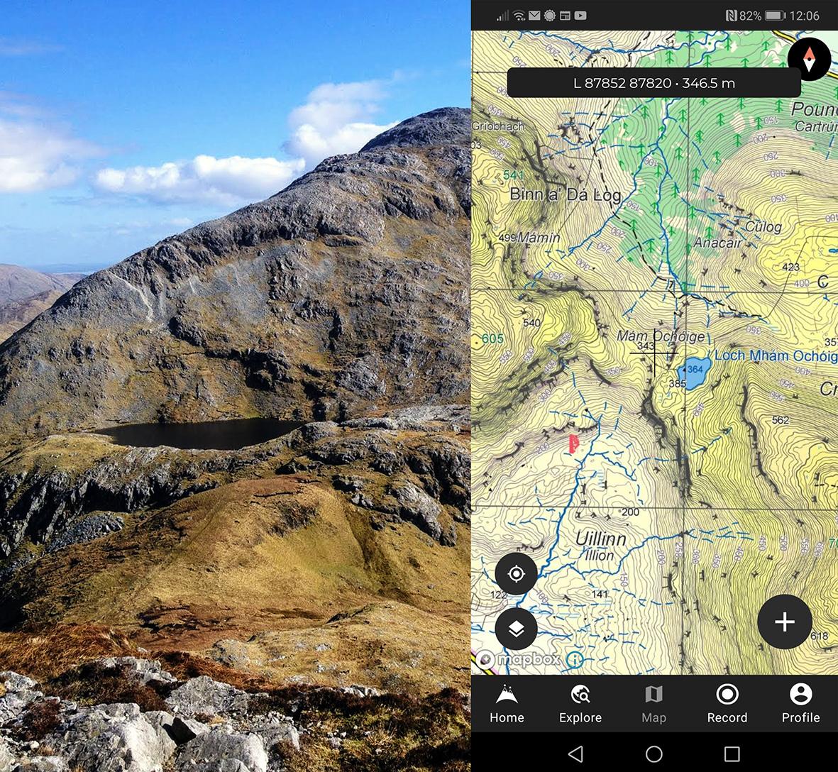
Myself, I like the combination of decent mapping running on a handheld device. I’ll make a rough route plan from the paper map before setting out, which map and compass are now stowed away in pockets. The map is now viewed on the screen, you still need to be able to map read, pick the planned route from the map and route find on the terrain in front of you. But you now have your own personal tracker, that monitors and displays your every movement across the map. Suppose you need to get down onto a particular spur on the map in mist or find a small lake on an undulating plateau or the way onto a forest road coming down off the hill – you simply move in the expected direction and then monitor your position on the map as the marker updates your position. Like some real life video game, you move and home in on your target. It’s akin to having a buddy looking over your shoulder constantly pointing out your position as you move along. You can dispense with compass bearings, measuring distances, timing with a watch and pace counting etc., as long as your system holds up! This solution is simple, quick and efficient – you just move. A disadvantage is that screens are usually small and it’s difficult to get an overview of an area in the same way as a paper map. However, if you know what route you’re intending to follow before you set out, then the basic zoom in/ zoom out functions will display your immediate area more than adequately.