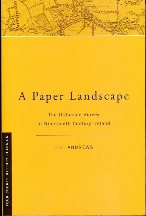
‘A Paper Landscape – the Ordnance Survey in Nineteenth Century Ireland’ by J.H. Andrews first published 1975, second edition 2001.
This is the only detailed history of the Ordnance Survey in Ireland that I’m aware of. There are a couple of related books, the OS advertorial ‘An Illustrated Record of the Ordnance Survey in Ireland’ published in 1991 and the somewhat idiosyncratic ‘If Maps Could Speak’ by Richard Kirwan, published 2010. You’d want to be interested in the history of survey & maps in this country to read it but if that is what piques your interest, there’s much to be found in ‘A Paper Landscape’.
The author of A Paper Landscape, J.H. Andrews was a professor in Geography at TCD in Dublin. He was required to trawl through many original sources in order to write this account but is also quick to point out in the second edition that a great deal more material could be sought out. There is little doubt but that someone with the interest, dedication and patience could profitably pursue these sources and expand considerably on the rich tapestry of development that Andrews portrays. He clearly points out that he wrote the book as a fan of the Irish Survey and it’s maps, and whilst he does indeed find room for criticism here and there, the overall tone is that of an admirer of the various achievements. There is nothing wrong with this and much to admire in the work, but a more critical eye on the processes used and the impact of various policies would throw down an interesting light from a different angle.
The book opens with a brief history of Irish cartography pre 1800, it covers the political ground leading up to the survey, the six inch survey, revision of same, the twenty five inch series, town plans and one inch series closing with a brief synopsis of developments post independence. There is a great deal of information in each chapter and an outline of the works and motives of the chief protagonists and public bodies involved. Each reader will draw their own items of interest according to their perspective, and here’s a brief outline of the main matters discussed that strike me.
– the outline history of pre Ordnance Survey maps
– the factors leading towards the decision to survey the country
– the happenstance of it all
– the role of Richard Griffith in settling townland boundaries and names
– the north to south work scheme
– the triangulation
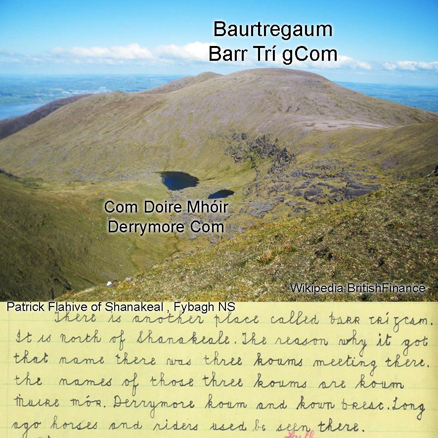
– the limited period of time and process used in collecting placenames
– the half hearted approach to small scale mapping
– the loss of power and control back to England
– the stagnation that lasted for a century or more


