
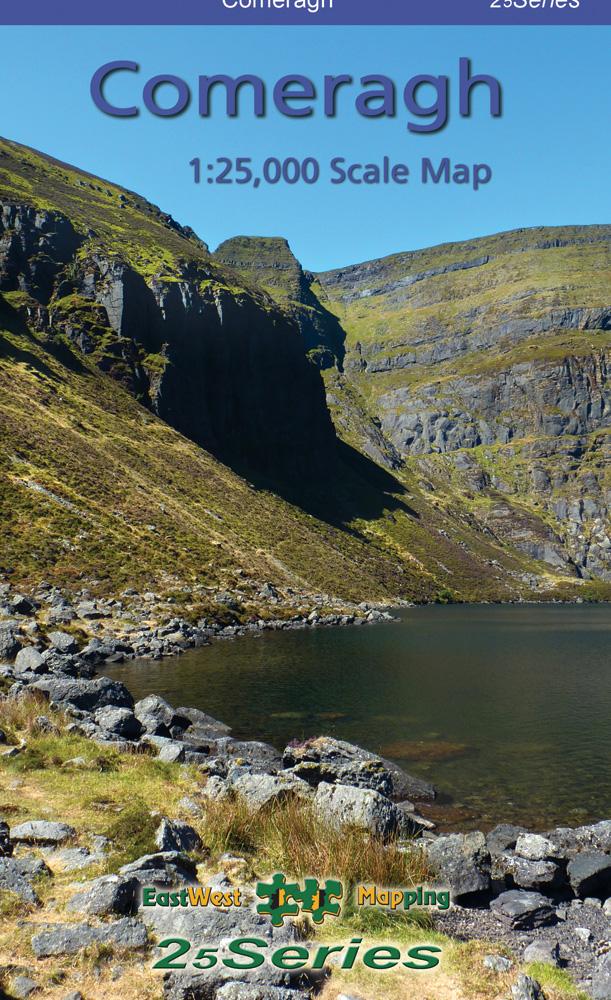


Galtee
€14.99 – €65.00
Galtee 1:25,000 Scale Map
Description
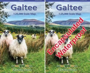
Galtee 1:25,000 Scale Map
Definitive detailed map at 1:25,000 scale covering from Mitchelstown to Cahir and from Clogheen to Lisverane. Covers the Galtee Mountains and hinterland. Produced to our 25Series standard, this general topographic map has a 5 metre contour interval for fine navigation. Signposted walking trails and greenways are depicted. We have conducted considerable research into local sites & placenames and much information is recorded on a map here for the first time. Printed on good quality Progeo 90gsm map paper. The map sheet measures 1125mm x 820mm, covering 550 sq kilometres and is folded down to 125mm x 205mm. Read care instructions in FAQ. Click on thumbnail images above to view sample detail and map coverage.
Surveyed & published 2019-2024.
Available both in standard folded paper version and folded encapsulated for durability and weatherproofing. Select your choice.
To view sample detail and map coverage, click on the thumbnail images above. To view more details on map bundles etc., click on the links above for each option.
Related products
-
-
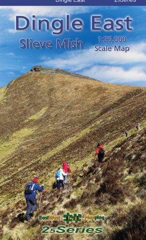
Dingle East
- €14.99 – €103.50
- View products
-
-
-
Killarney National Park
- €14.99 – €95.00
- View products
-
-

-
Gift Vouchers
- €25.00 – €100.00
- View products
-
-

-
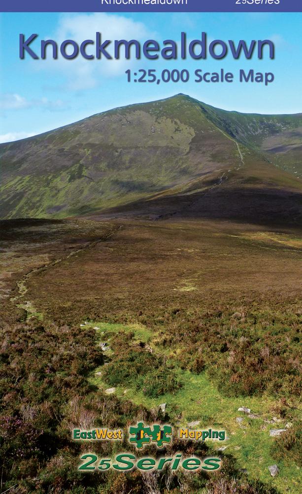
Knockmealdown
- €14.99 – €63.50
- View products
-
-
-
Dingle Way
- €16.00 – €75.50
- View products
-