


Galtee Flat
€65.00
Description
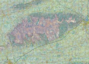
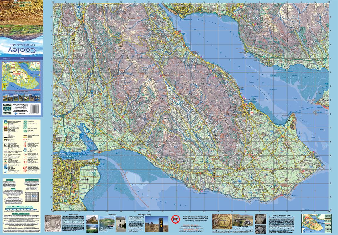
Flat unfolded copy of our definitive detailed map at 1:25,000 scale covering from Mitchelstown to Cahir and from Clogheen to Lisverane. Covers the Galtee Mountains and hinterland. Produced to our 25Series standard, this general topographic map has a 5 metre contour interval for fine navigation. Signposted walking trails and greenways are depicted. We have conducted considerable research into local sites & placenames and much information is recorded on a map here for the first time. Printed on good quality Progeo 90gsm map paper. The map sheet measures 1125mm x 820mm, covering 550 sq kilometres. Click on thumbnail images above to view sample detail and map coverage. This print published 2019. Delivered in a postal tube.
Additional information
| Weight | 120 kg |
|---|
Related products
-
-
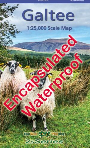
Galtee Encapsulated
- €23.95
- Add to basket
-
-
-
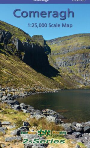
Comeragh Paper
- €14.99
- Add to basket
-
-
-
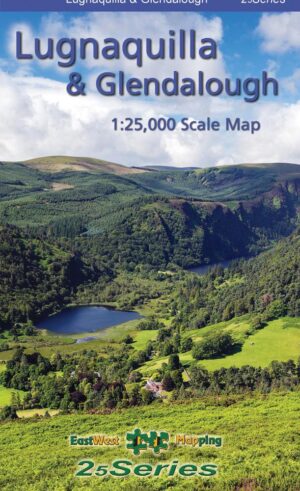
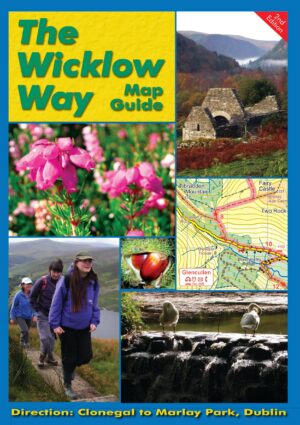
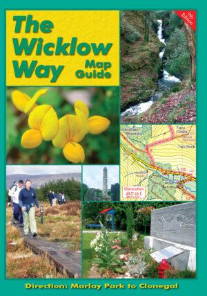
The Wicklow Way
- €9.00
- Add to basket
-