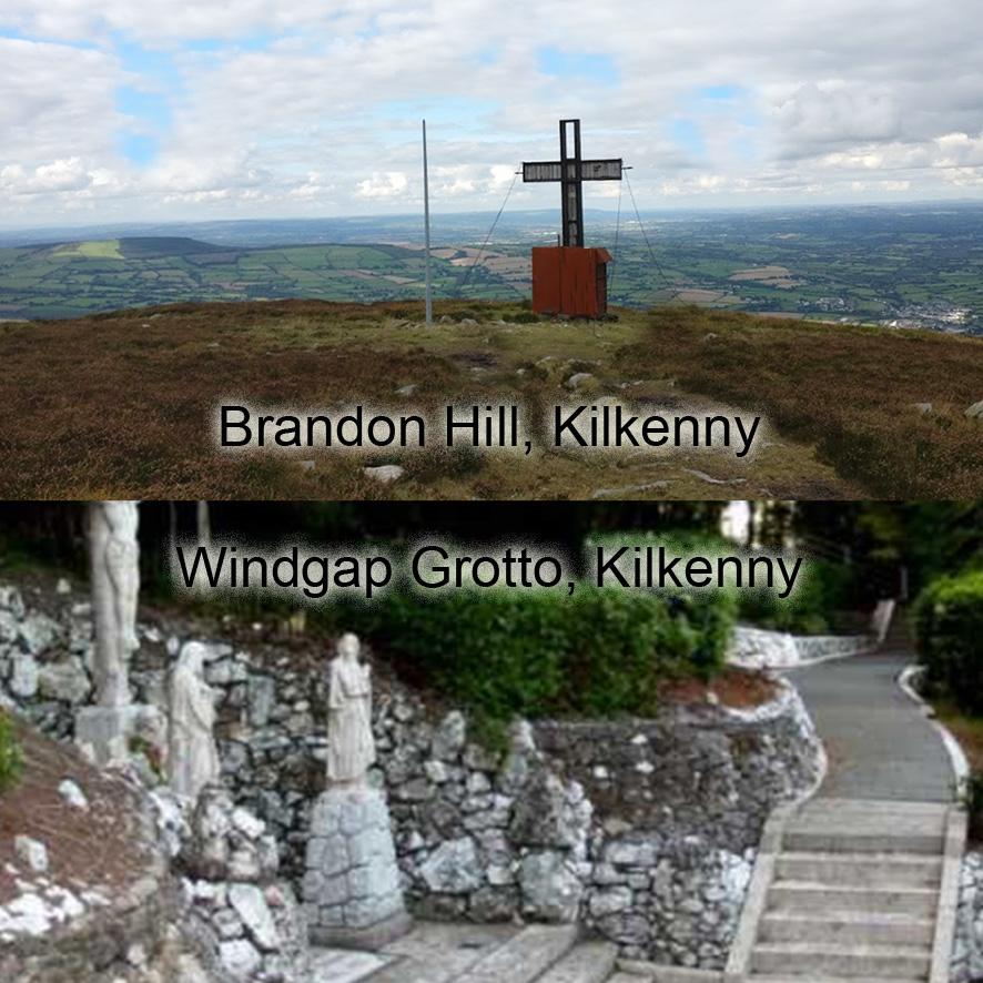
Blackstairs & Mount Leinster 2024 to print
Our Blackstairs, Mount Leinster & The Barrow Valley 1:25,000 scale map published in 2013 went out of print early this year – so eleven years to sell the print run. It was what I’d call a 2nd Gen solution, better than our first Wicklow sheets but not of the quality of work that followed. The most sensible commercial solution would have been to update and reprint to same standard and format.
However I felt the region deserved better mapping to the same standard as our current Wicklow mapping, so last November started afresh on a brand new plot. All field boundaries, building etc are now shown and the contouring greatly improved. This took eight months to complete, fitted in and around bill paying work, followed by a solid month & a half to review the placename & heritage content. Including additional information gathered from a dozen or so local informants who I missed back in 2012.
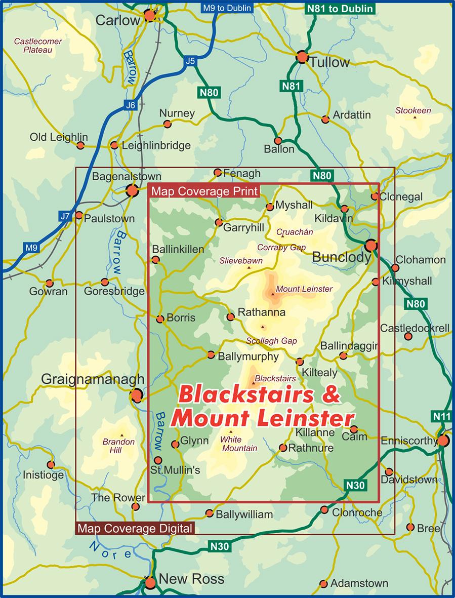
We’ve changed the format to our current standard sheet, so that the full range will fit on a single side, rather than the previous double sided format. The compromise is losing part of the Barrow on the print version. The attached diagram shows the new print map coverage of 550 sq kms, with the larger digital version of 875 sq kms coverage to follow in time.
The print version is now going for proofing and when printed will be available in standard paper folded, laminated folded and flat sheet for wall display. We will of course let you know when the new edition is available again for sale, likely end of October.
#eastwestmapping #blackstairs