


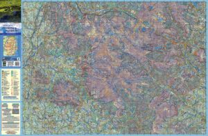
Dublin & North Wicklow Mountains Folded
€9.95
Description
March 2021 – this 1:30,000 scale map will be replaced by a new 1:25,000 edition, expected in April/ May 2021. Unless you require the map immediately, best to check back in a couple of weeks. Or send your email address to us using the Contact Form and we’ll let you know when the new sheets are in. Update 20th April – the new map editions are in transit from printer but held up at port on UK side due to new Brexit protocols. We can’t give a delivery date, but hopefully in about 2 weeks.
Definitive detailed map of the hills on the doorstep of Dublin City. Surveyed in 2008, updated 2019. Depicts in detail the network of tracks, paths, forests & hills of interest to walkers etc. Many historical sites are plotted and named. We have conducted considerable research into local placenames and many names are recorded here.
Printed on standard 115 gsm paper, read care instructions in FAQ.
1:30,000 Scale : 1 centimetre on the map = 300 metres on the ground. Contour Interval : 10 metres
For recreational users who visit the Dublin Mountains for hillwalking, rambling, family walks, cycling, birdwatching, heritage and local history explorations.
Covers from Blessington to Enniskerry and Tallaght to Sally Gap.
Published March 2019. First published 2009.
Click on the thumbnails opposite to enlarge.
Additional information
| Weight | 0.1 kg |
|---|
Only logged in customers who have purchased this product may leave a review.

Reviews
There are no reviews yet.