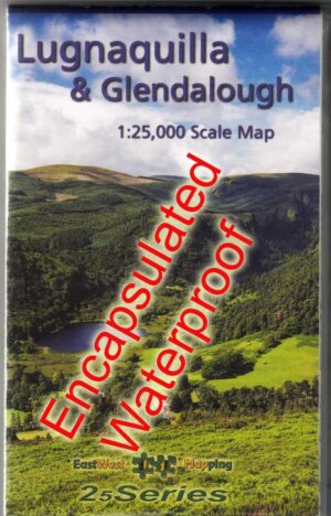
Set of Three 1:25,000 South Wicklow Maps Encapsulated
€63.50
Description
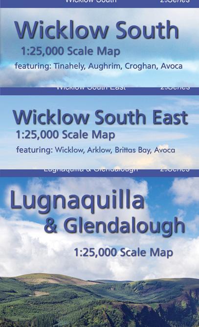
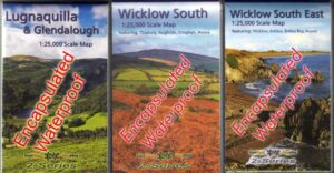
Lugnaquilla & Glendalough
Wicklow South
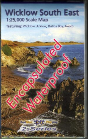
Wicklow South East
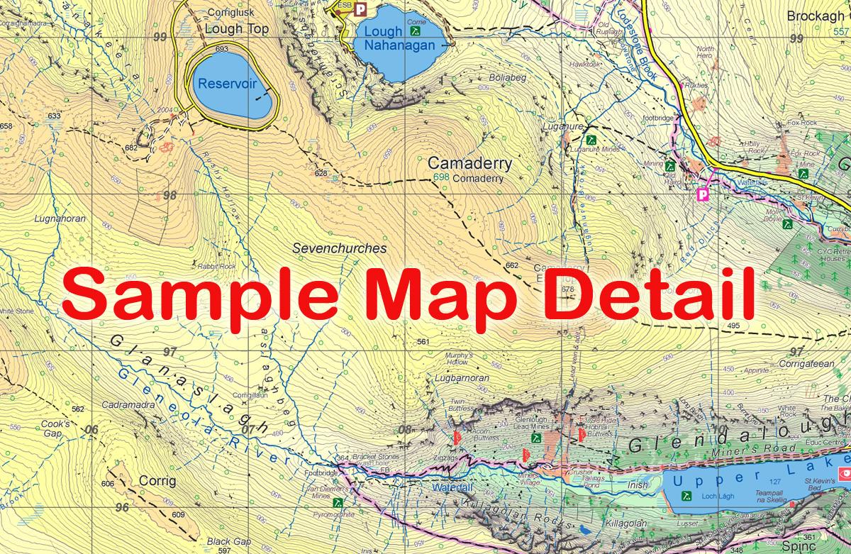
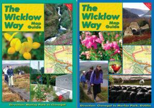
Three definitive detailed maps of the southern Wicklow hills and county in our new 25Series for Wicklow. Surveyed 2017-2018, depicting in detail the network of tracks, paths, forests & hills etc. Many historical sites are plotted and named. Many placenames that have not been published on publicly available mapping. Covers part of the Wicklow Way and other local waymarked trails.
Printed on good quality Progeo 90gsm map paper. Each map sheet measures 1125mm x 820mm, covering 550 sq kilometres and is folded down to 125mm x 205mm. Read care instructions in FAQ. Sold here as a set of three in folded encapsulated format for durability and weatherproofing at a reduced price.
Also available as a set of three in in standard folded paper version.
1:25,000 Scale : 1 centimetre on the map = 250 metres on the ground. Contour Interval : 5 metres.
Published: 2018.
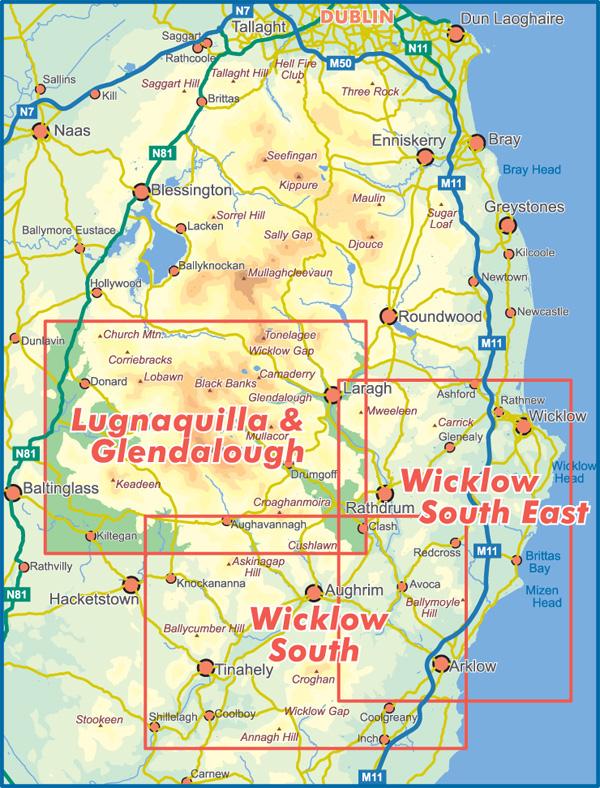
To view sample detail and map coverage, click on the images on the right.
These three sheets cover the southern part of the Wicklow Mountains from Wicklow Gap to Shillelagh and Donard/ Knockananna to Arklow and the Irish Sea. Also available separately are :-
Three sheets covering the northern parts of the Dublin & Wicklow Mountains at 1:30,000 scale from Blessington in the west to Enniskerry and the Bray to Wicklow coast in the east. From Tallaght/ M50 southwards to Wicklow Gap. See ‘Set of Three 1:30,000 Dublin Wicklow Maps’.
Click on the thumbnails opposite to enlarge.
Additional information
| Weight | 400 kg |
|---|

