


Mweelrea & The Reek Paper
€14.99
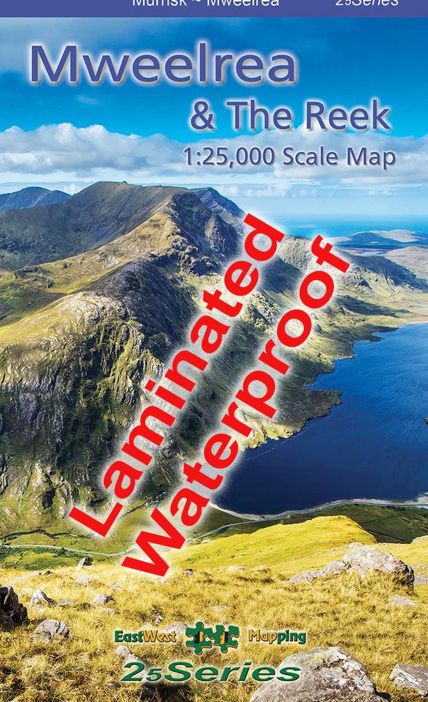
Map of Mweelrea & The Reek / Croagh Patrick: 1:25,000 scale.
Description
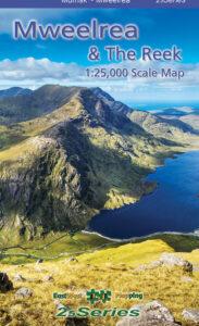
Definitive detailed map at 1:25,000 scale covering Mweelrea and the region from Killary Harbour to Clew Bay including the Sheaffrey Hills and The Reek or Croagh Patrick. Produced to our 25Series standard, this general topographic map has a 5 metre contour interval for fine navigation. Signposted walking trails are depicted. The finest and most detailed map of this popular region. Printed on good quality Progeo 90gsm map paper. The map sheet measures 1125mm x 820mm, covering 550 sq kilometres and is folded down to 125mm x 205mm. Read care instructions in FAQ. Click on thumbnail images above to view sample detail and map coverage.
Surveyed & published 2023-2024.
Sold here in standard folded paper version. Also available fully encapsulated/ laminated for durability and weatherproofing.
Click on the thumbnails above for coverage and sample detail.
Additional information
| Weight | 0.1 kg |
|---|---|
| Dimensions | 20 × 12.5 × .5 cm |
Only logged in customers who have purchased this product may leave a review.
Related products
-
-
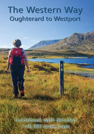
The Western Way
- €9.00
- Add to basket
-
-
-
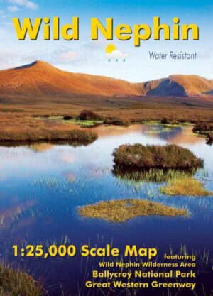
Wild Nephin Folded
- €11.00
- Add to basket
-
Reviews
There are no reviews yet.