


Killarney National Park Map Set
€34.50
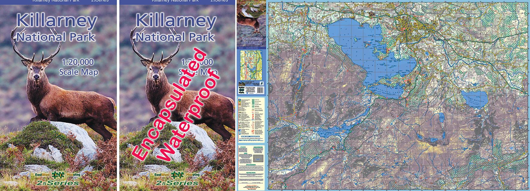
Killarney National Park 1:20,000 Scale Map Set: Paper & Encapsulated.
Description
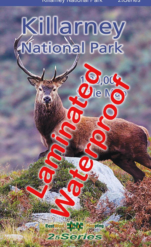
Killarney National Park 1:20,000 Scale Map Paper
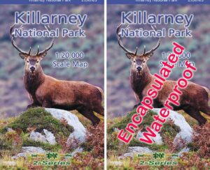
Killarney National Park 1:20,000 Scale Map Encapsulated/ Laminated
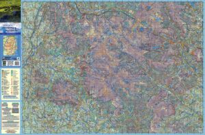
Definitive detailed map at 1:20,000 scale covering Killarney National Park and Mangerton Mountain. The map extends from the Gap of Dunloe to Glenflesk. Includes Killarney town, National Park, Purple & Mangerton Mountains. Produced to our 25Series standard, this general topographic map has a 5 metre contour interval for fine navigation. Signposted walking trails are depicted. Detailed topographic map with many placenames and heritage sites. Printed on good quality Progeo 90gsm map paper. The map sheet measures 1125mm x 820mm, covering 350 sq kilometres and is folded down to 125mm x 205mm. Read care instructions in FAQ. Click on thumbnail images above to view sample detail and map coverage.
This is a bundle offer. The encapsulated/ laminated map is ideal for outdoor use, the paper folded for indoor consultation.
Published 2022.
Additional information
| Weight | 0.15 kg |
|---|---|
| Dimensions | 20 × 12.5 × 1 cm |
Related products
-
-
Wicklow South Paper
- €14.99
- Add to basket
-