


Dingle Flat Map Set
€100.00
Set of Three Dingle Maps 1:25,000 Scale Flat Unfolded
Description
Set of Three Dingle Maps 1:25,000 Scale Flat Unfolded
These flat unfolded maps are generally purchased for wall display. They are supplied rolled in a postal tube. We only have a limited number of these sets.
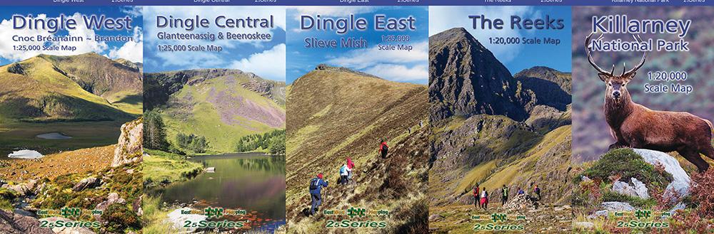
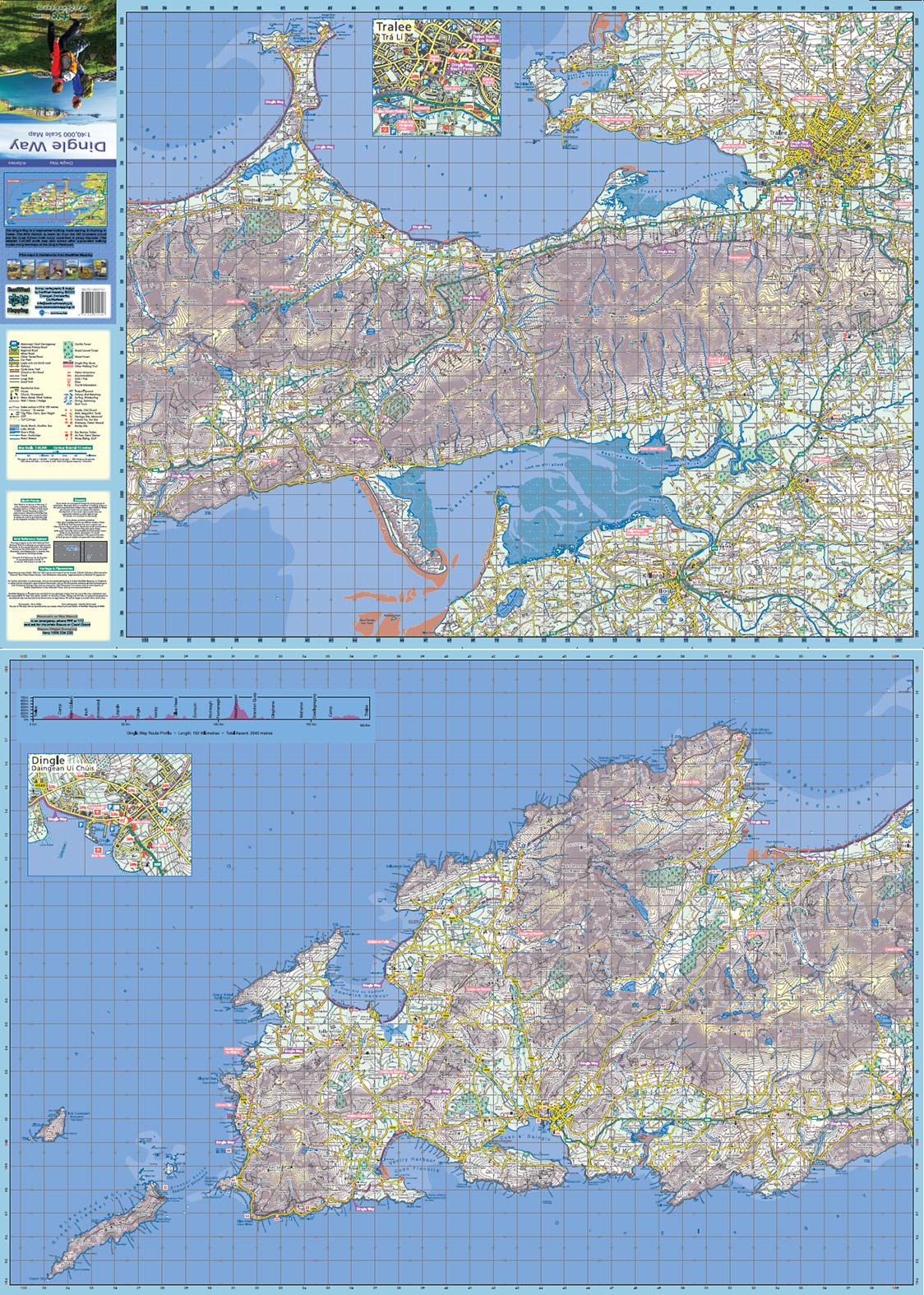
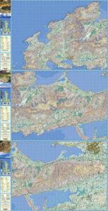
Three definitive detailed maps at 1:25,000 scale. These sheets cover the full Dingle peninsula. Produced to our 25Series standard, these general topographic maps have a 5 metre contour interval for fine navigation. Signposted walking trails are depicted. Detailed topographic maps with many placenames and heritage sites. Printed on good quality Progeo 90gsm map paper. Each map sheet measures 1125mm x 820mm, covering 550 sq kilometres. Read care instructions in FAQ. Click on thumbnail images above to view sample detail and map coverage. Note that the tip of Slea Head and part of the Maharees are not shown.
Also available in standard paper & laminated folded versions.
Published 2023.
Additional information
| Weight | 0.1 kg |
|---|---|
| Dimensions | 20.5 × 12.5 × 5 cm |
Related products
-

-
Galtee Paper
- €14.99
- Add to basket
-