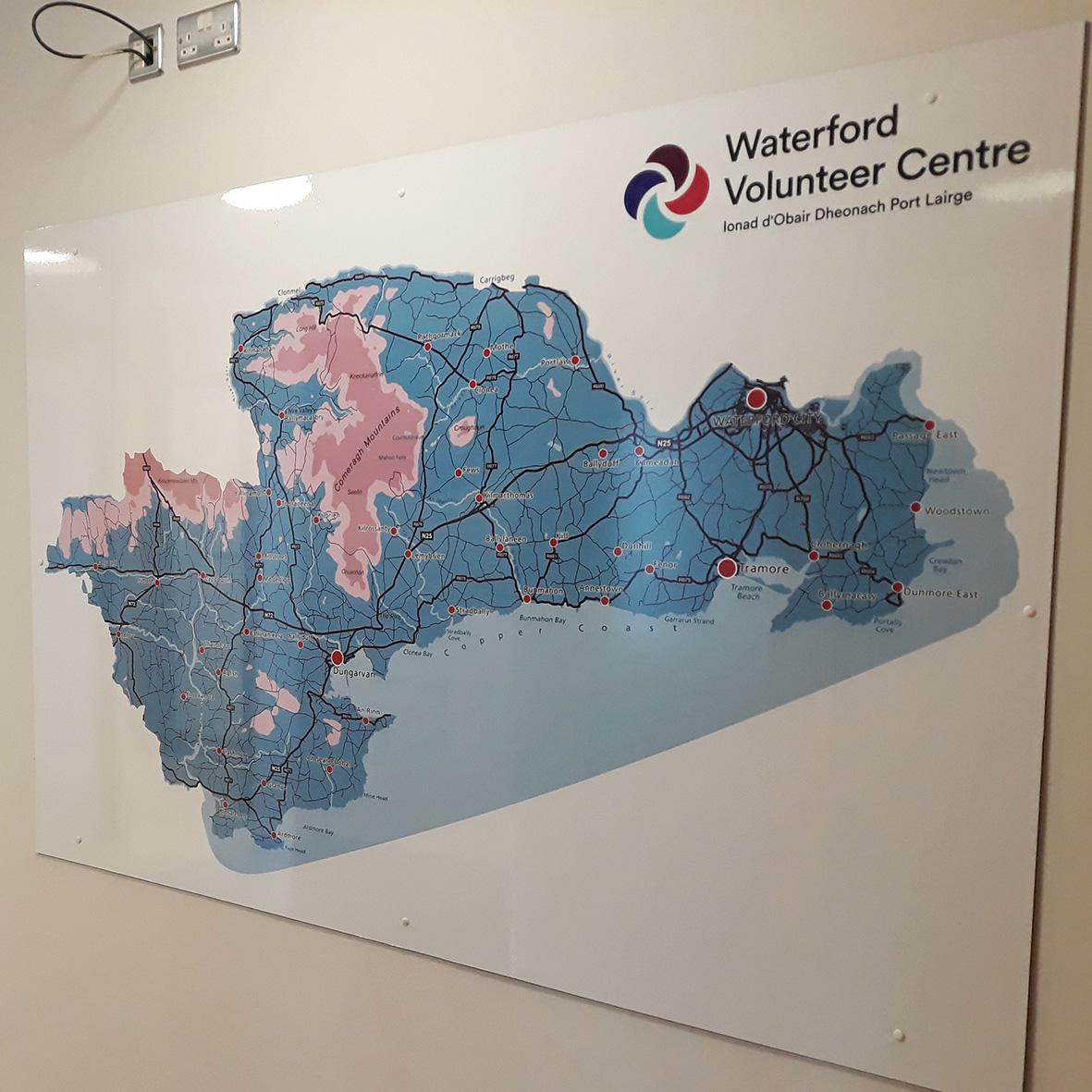
Ordnance Survey Bi Centenary
The 21st June 2024 just past marks the bi centenary of the publication of the Spring Rice Report which set up what became two important bodies 1) the Boundary & Valuation survey and 2) the Ordnance Survey of Ireland. This report emanated from a select committee of the London houses of parliament – the Act of Union was in force. It’s primary purpose was to establish a more equitable form of local taxation in Ireland than existed previous.
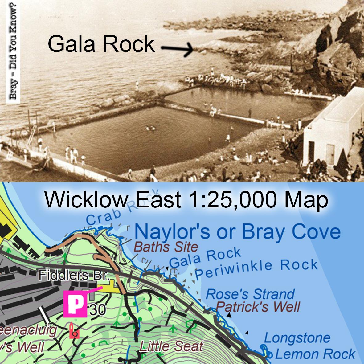
It was understood that the ‘townland’ was the basis of local taxation but the definition and even the name differed widely across the island. There was no official knowledge of how many ‘townlands’ there were or what their boundaries or areas were. The job of deciding what the townlands were and their boundaries was given to the civil authorities in Ireland with Richard Griffith at the helm of this mammoth task. He and his surveyors subsequently settled on c 66,000 townlands, agreeing boundaries where locally agreed and otherwise just imposing a structure. All bounds were defined on maps and marked on the ground where needed.
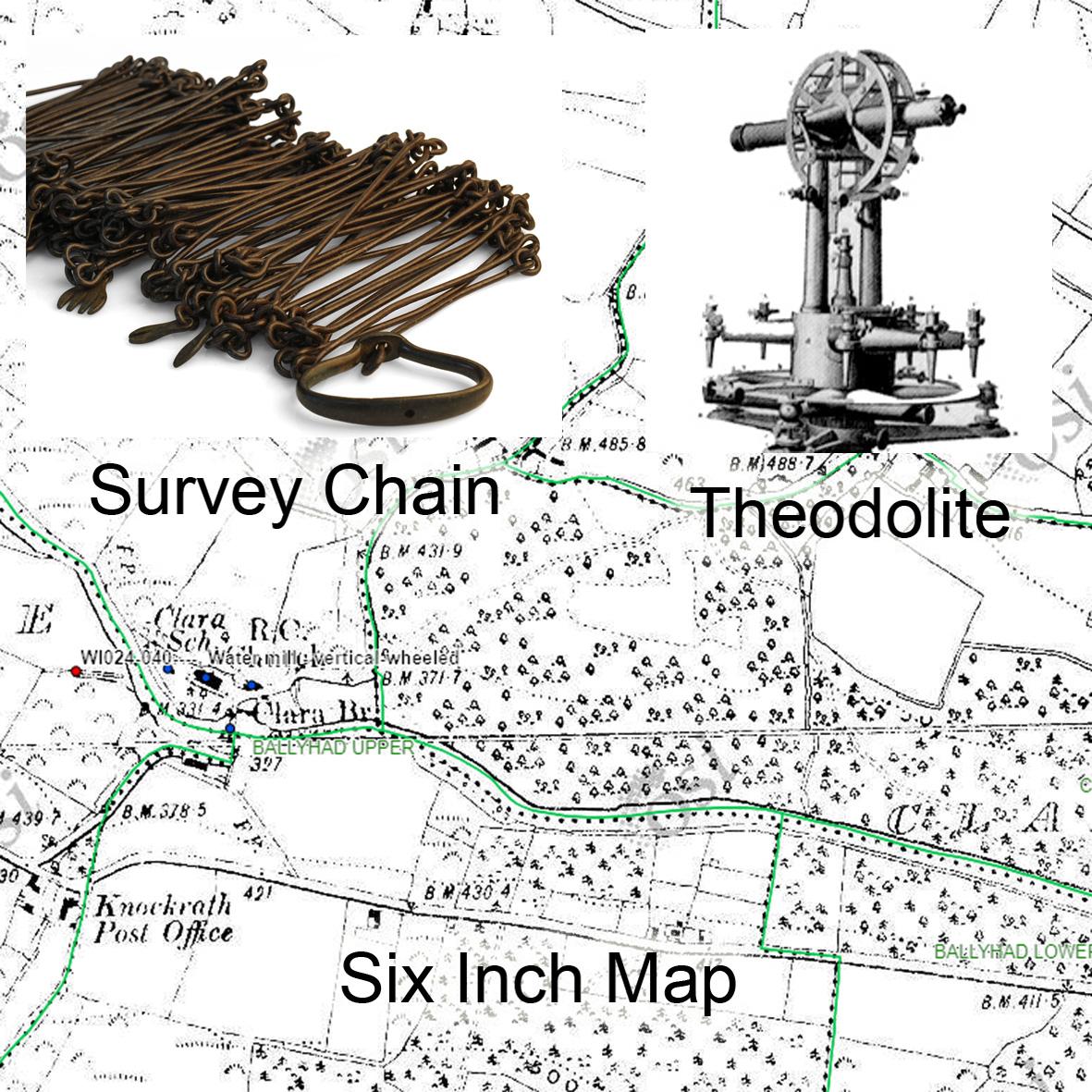
The job of mapping and measuring these townlands was given to the military or what became known as the sappers of the Ordnance Survey of Ireland. This was done through a combination of triangulation, measuring angles by theodolite and what was called ‘chain survey’, running chain measurements like a long measuring tape between trig points and noting where points of detail were along each chain.
Note that 1824 marks the anniversary of the founding instruction but that the first Six Inch maps to be published for Co.Derry did not appear till 1833. The boundary survey had to precede the OS work and there was much preliminary measurement. The job took 22 years and was not finished till 1846 down in Kerry. For either political or security reasons the survey started in the northern counties and worked south. Although the survey was based on scientific principles, this was an odd decision. They really should have started around Athlone and worked outwards to control the build up of error.
#eastwestmapping #irishmaps #cartography #mountaineeringireland