The Wicklow Way
€9.00
Description
The Wicklow Way is one of the longest established and most popular walking routes in Ireland. The route traverses many wooded glens along the eastern flank of the Dublin & Wicklow hills with distant views of the Irish Sea. Dublin city to Clonegal in Co.Carlow: 132 kilometres. Total ascent of 3500 metres.
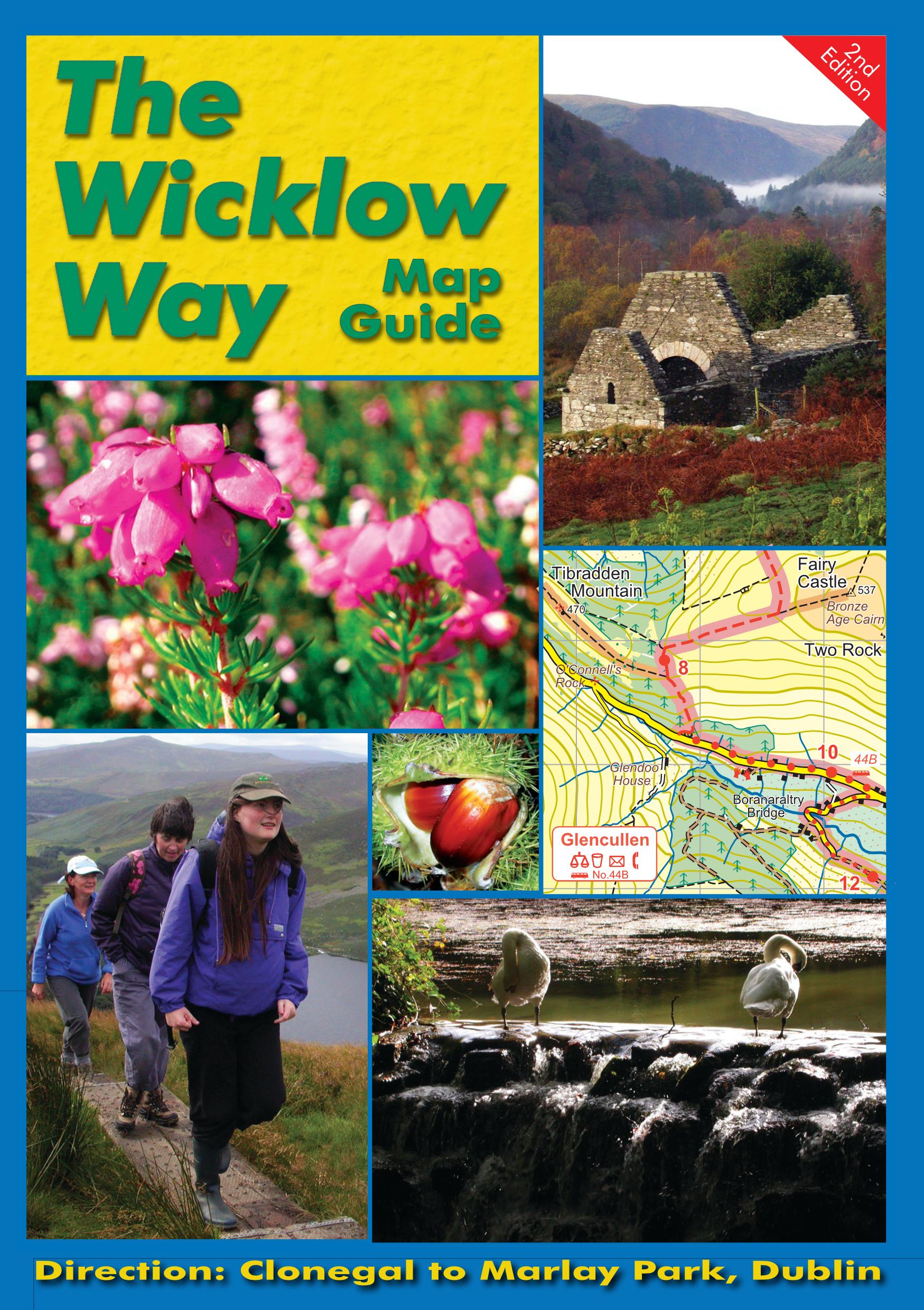
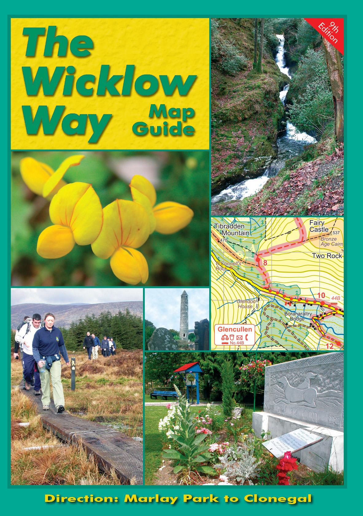
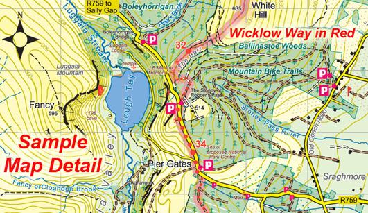
This guidebook provides all you need to walk The Wicklow Way. The maps & text are arranged to suit those walking from Dublin towards Clonegal. See our other publication The Wicklow Way – Clonegal to Dublin if walking northwards towards Dublin. The definitive map guide comprises of a detailed 40 page booklet with full colour 1/50000 scale strip maps packaged in plastic wallet. Information on local and natural history, routefinding and services. Download a free accommodation list below. 9th Edition, published June 2022.
There is a bus service that connects the railway station at Rathdrum (Dublin Rosslare line) to Laragh, Glenmalure & Tinahely – see www.wicklowwaybus.com
Click on the thumbnails opposite to enlarge.
Only logged in customers who have purchased this product may leave a review.


Reviews
There are no reviews yet.