Set of Three 1:25,000 South East Maps Paper
€39.00
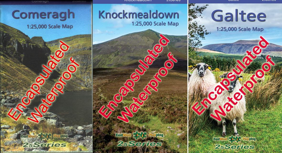
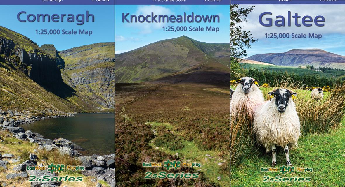
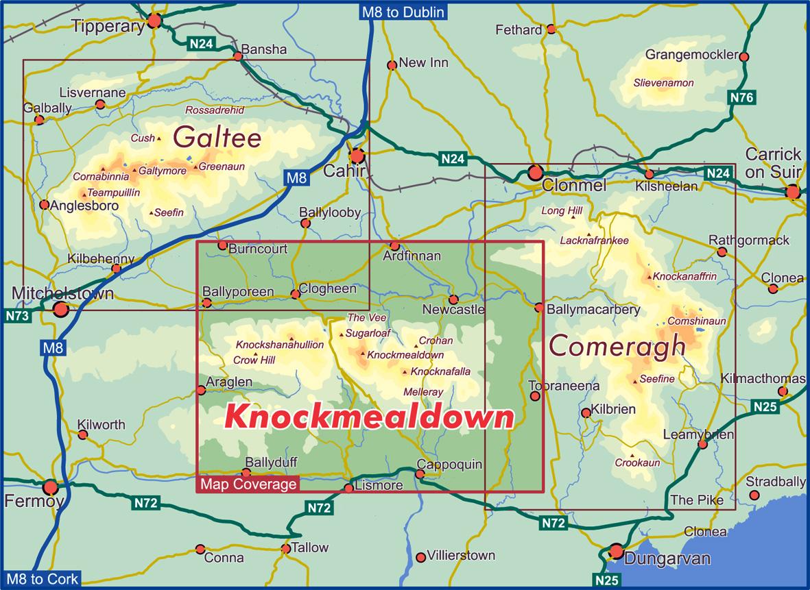
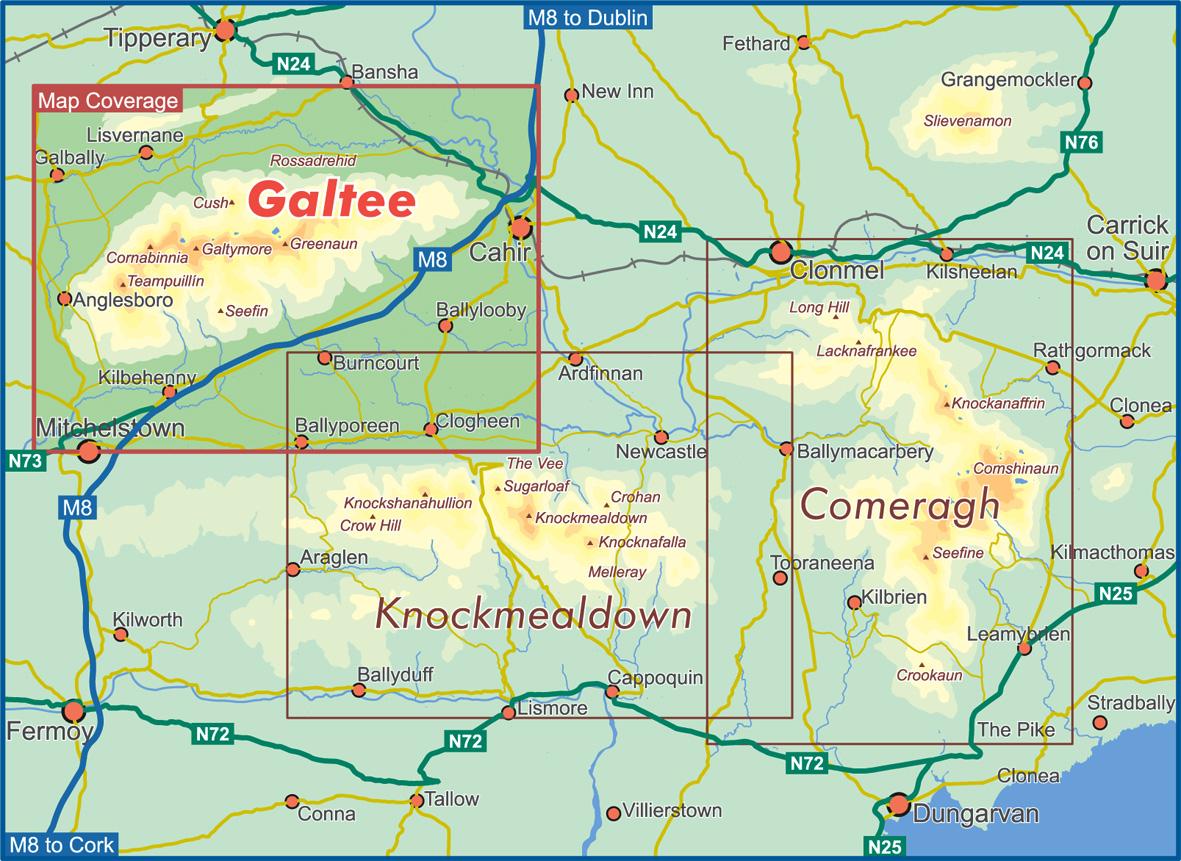
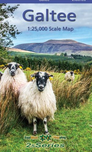
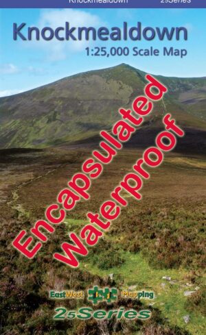
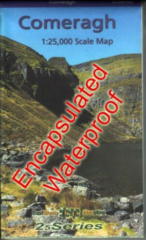
Comeragh 1:25,000, Knockmealdown 1:25,000 & Galtee 1:25,000 maps
Description
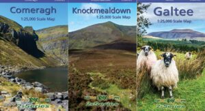
Comeragh 1:25,000
Knockmealdown 1:25,000
Galtee 1:25,000
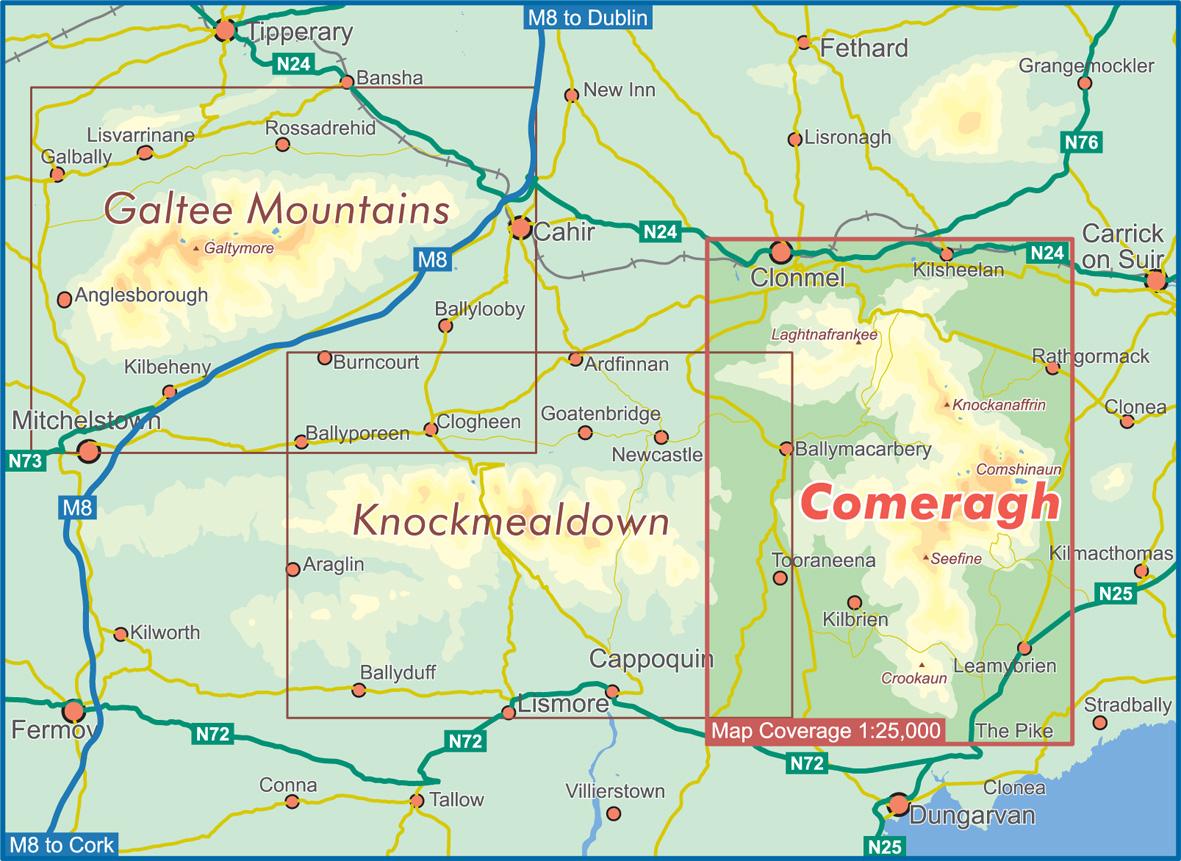
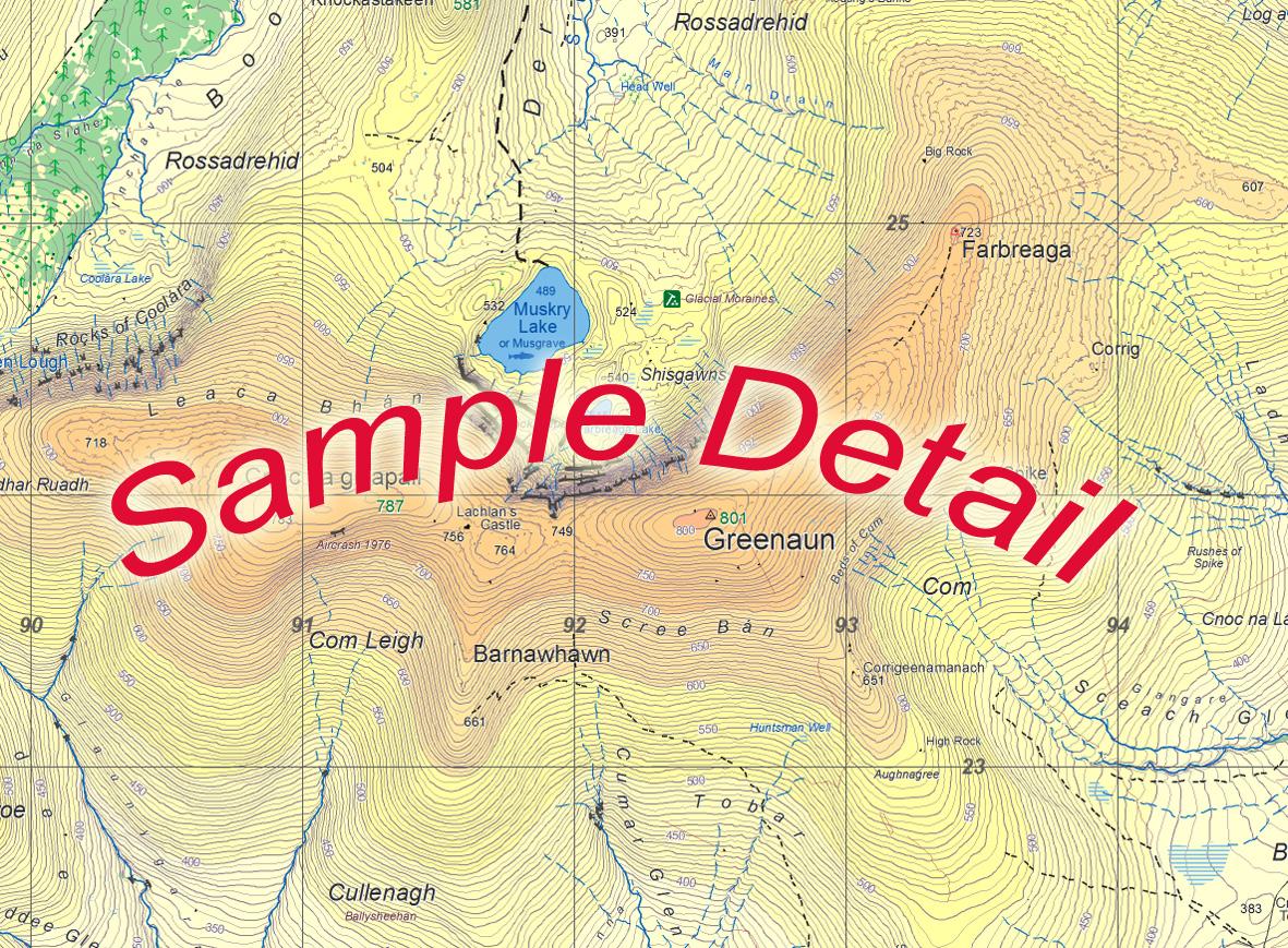
Three definitive detailed maps of the south east hill ranges and valleys, covering parts of Counties Waterford, Tipperary, Limerick & Cork. Surveyed 2018-2019, depicting in detail the network of tracks, paths, forests & hills etc. Many historical sites are plotted and named. Many placenames that have not been published on publicly available mapping.
Printed on good quality Progeo 90gsm map paper. Each map sheet measures 1125mm x 820mm, covering 550 sq kilometres and is folded down to 125mm x 205mm. Read care instructions in FAQ.
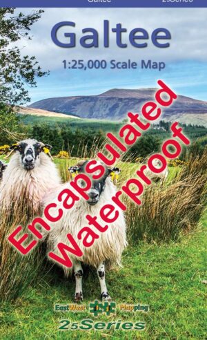
Sold here in standard folded paper versions at a reduced price. Also available as a set of three in folded encapsulated format for durability and weatherproofing.
1:25,000 Scale : 1 centimetre on the map = 250 metres on the ground. Contour Interval : 5 metres.
Published: 2018-2019.
To view sample detail and map coverage, click on the images on the right.
Only logged in customers who have purchased this product may leave a review.

Reviews
There are no reviews yet.