
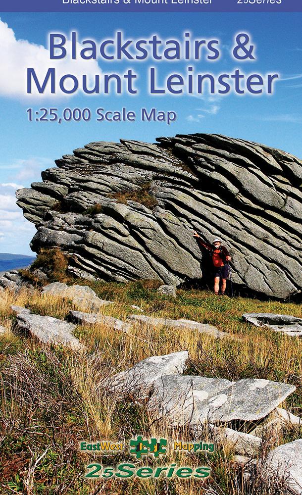

Blackstairs & Mount Leinster Waterproof
€23.95
Map of Blackstairs & Mount Leinster – Waterproof. 1:25,000 scale.
Description
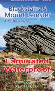
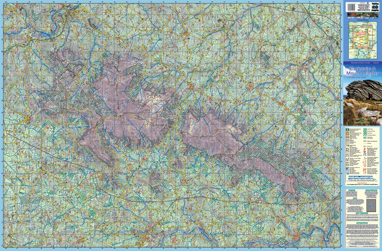
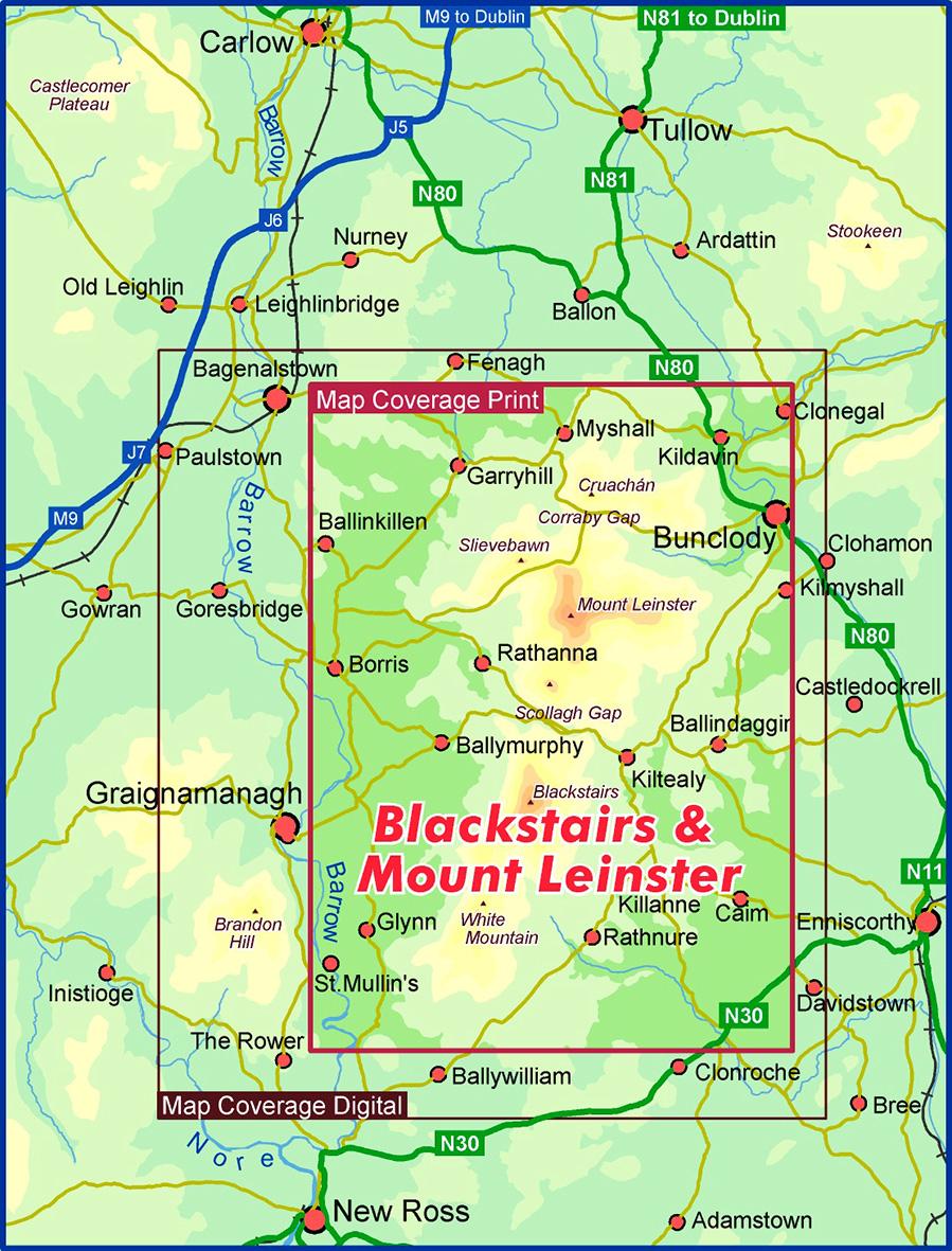
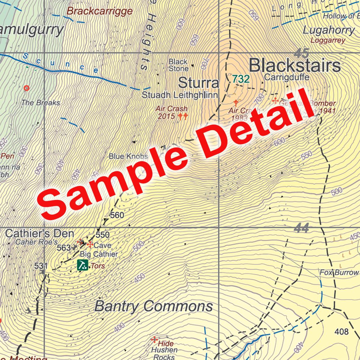
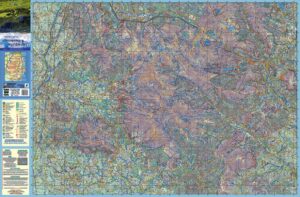
Definitive detailed map at 1:25,000 scale covering the Blackstairs & Mount Leinster range from Borris to Bunclody and Clonegal to St.Mullin’s. Produced to our 25Series standard, this general topographic map has a 5 metre contour interval for fine navigation. Signposted walking trails are depicted. The finest and most detailed map of the region, first published in 2013 but this is a complete new version. Printed on good quality Progeo 90gsm map paper. The map sheet measures 1125mm x 820mm, covering 550 sq kilometres and is folded down to 125mm x 205mm. Read care instructions in FAQ. Click on thumbnail images above to view sample detail and map coverage.
Surveyed & published 2023-2024.
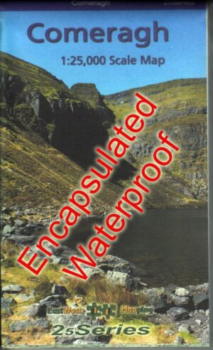
Sold here as durable laminated waterproof version. Also in available standard paper folded form.
Click on the thumbnails above for coverage and sample detail.
Additional information
| Weight | 0.1 kg |
|---|---|
| Dimensions | 20 × 12.5 × .5 cm |
Only logged in customers who have purchased this product may leave a review.
Related products
-
-
The Wicklow Way
- €9.00
- Add to basket
-
Reviews
There are no reviews yet.