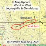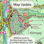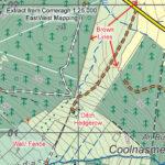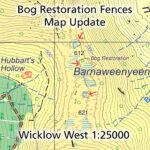
Bog Restoration Map Update
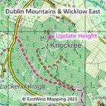
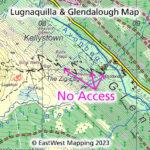
Bog Restoration Map Update Thanks to Hugh McLindon of NPWS for sending on details of three fenced off areas on the ridge from Mullaghcleevaun to Tonelagee in Co.Wicklow. Many hillwalkers…
Continue Reading
Bog Restoration Map Update