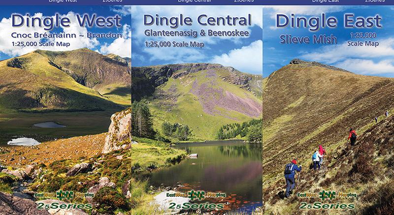
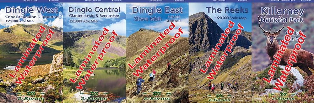


Set of Four Waterproof Dingle Maps
€75.50
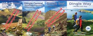
Set of Three Dingle Maps 1:25,000 Scale Laminated Folded. One overall 1:40,000 Scale Map.
Description
Set of Four Waterproof Dingle Maps 1:25,000 & 1:40,000 Folded
Three laminated overlapping detailed maps at 1:25,000 scale plus an overall 1:40,000 scale map. These sheets cover the full Dingle peninsula. The 1:25,000 scale maps are produced to our 25Series standard, these general topographic maps have a 5 metre contour interval for fine navigation. Signposted walking trails are depicted. Detailed topographic maps with many placenames and heritage sites. Printed on good quality Progeo 90gsm map paper. Each map sheet measures 1125mm x 820mm, covering 550 sq kilometres and is folded down to 125mm x 205mm. The 1:40,000 map has a 10 metre contour interval and is printed on Polyart, a fully waterproof synthetic paper which is light and durable. This map focuses on the Dingle Way and other signposted walks but is also a fine overall map. Read care instructions in FAQ. Click on thumbnail images above to view sample detail and map coverage. Note that the tip of Slea Head and part of the Maharees are not shown on the 1:25,000 maps but are on the 1:40,000 map along with the Blaskets.
These are laminated/ waterproof versions, durable & waterproof. Also available in other options, paper set and singly.
Published 2023.
Additional information
| Weight | 0.4 kg |
|---|---|
| Dimensions | 20.5 × 12.5 × 7.5 cm |
Related products
-
-
Wicklow South Paper
- €14.99
- Add to basket
-
-
-
Wild Nephin Folded
- €11.00
- Add to basket
-