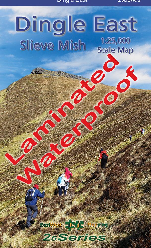


Dingle East Paper
€14.99
Dingle East 1:25,000 Scale Map Paper Folded
Description
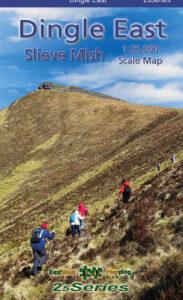
Dingle East 1:25,000 Map Paper
Definitive detailed map at 1:25,000 scale covering the eastern end of the Dingle peninsula – from Tralee to Castlegregory & Inch. Produced to our 25Series standard, this general topographic map has a 5 metre contour interval for fine navigation. Signposted walking trails are depicted. Detailed topographic map with many placenames and heritage sites. Printed on good quality Progeo 90gsm map paper. The map sheet measures 1125mm x 820mm, covering 550 sq kilometres and is folded down to 125mm x 205mm. Read care instructions in FAQ. Click on thumbnail images above to view sample detail and map coverage.
This is the standard folded paper version. Also available in laminated folded version for durability and weatherproofing. Both available singly or as part of a set.
Published 2023.
Additional information
| Weight | 0.1 kg |
|---|---|
| Dimensions | 20.5 × 12.5 × .5 cm |
Related products
-
-
Wild Nephin Flat
- €65.00
- Add to basket
-
-
-
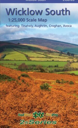
Wicklow South Paper
- €14.99
- Add to basket
-
-
-
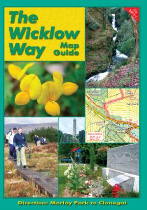
The Wicklow Way
- €9.00
- Add to basket
-